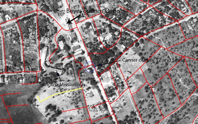
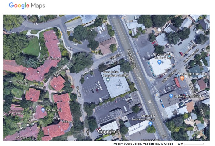
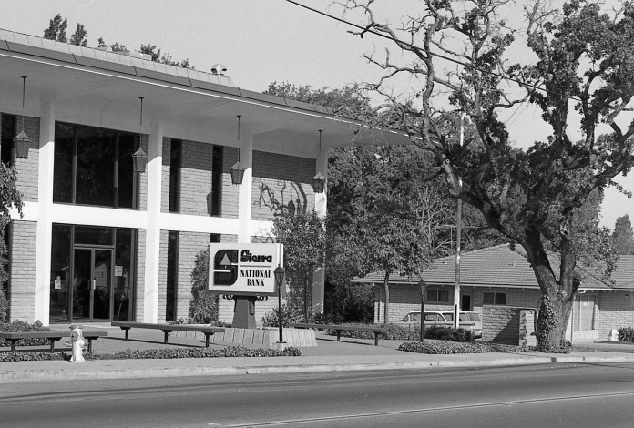
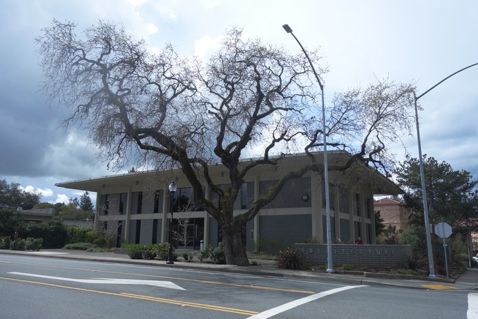
At the corner of Highway 12 and Sierra Drive stands the building housing Ross Drulis Cusenberry Architects. The building was built in 1966 for Sierra National Bank. It seems that the street, originally known as Meincke Road, was probably renamed for the bank. The street also has the distinction of being on the former Northwest Pacific Railroad right-of-way.
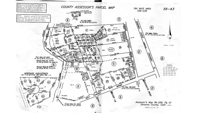
Assessor’s Parcel Map showing Meincke Road/Seirra Drive
On July 15, 1942, a hearing by the Interstate Commerce Commision in Santa Rosa pitted the War Department and the Southern Pacific Company against the Sonoma Valley Chanber of Commerce, Sonoma State Hospital, and the Sonoma Vista Improvement Club in a debate about whether the rail line between Sonoma and Glen Ellen should be abandoned (passenger service had ended in 1935). The Feds claimed that the line was not needed for the war effort as almost all frieght was brought into the valley by truck, and the SP pointed out that the line had lost money for years. However, Dr. Fred Bultler of the State Home said that his institution had been designated the main hospital for the region should a coastal evacuation be necessary. The Home had been mandated to provide 500 beds on two hours notice and that the rail connection would be required to supply this additional population. The Home had 3200 “inmates”, as he called them, and 450 employees at the time.
Southern Pacific prevailed, however, and by January of 1943, the rails were gone, freeing the stretch between the Mission Inn and West Thomson Ave. to become a road.
The street was probably originally named for George Meincke, a school bus driver, chauffer for the Spreckles family, fire commissioner, and local property owner. However, two other Meinckes were prominent enough in the Springs, midcentury and before, to also be the namesake: Charles Meincke and H. Meincke.
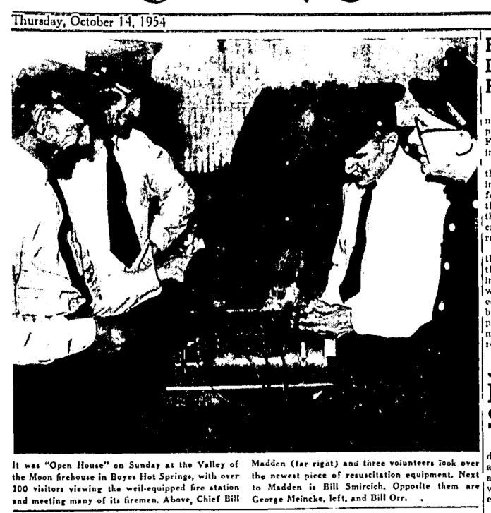
George Miencke with fellow Fire Commissioners at a fire station open house in 1954.
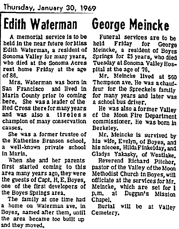
Interestingly, the obituaries for George Meincke and Edith Waterman appeared next to each other in the January 30, 1969 edition of the IT. Both had streets named for them, or their family in Ms. Waterman’s case. The Waterman family goes back a little farther than Miencke’s. Her obit notes that “When she and her parents first started coming to this area many years ago, they were guests of Capt. H. E. Boyes…”
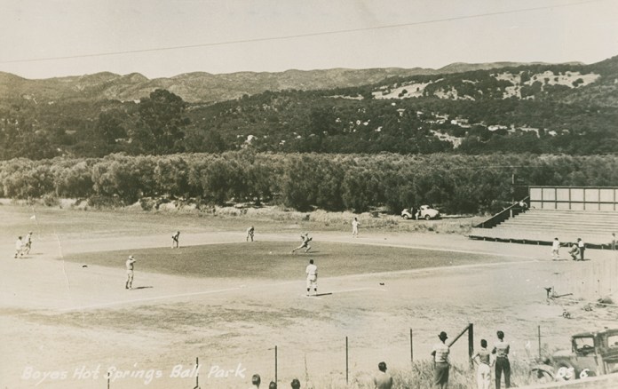
The Boyes Hot Springs Company was incorporated in 1902, with August Waterman as one of the directors.
Sierra Bank
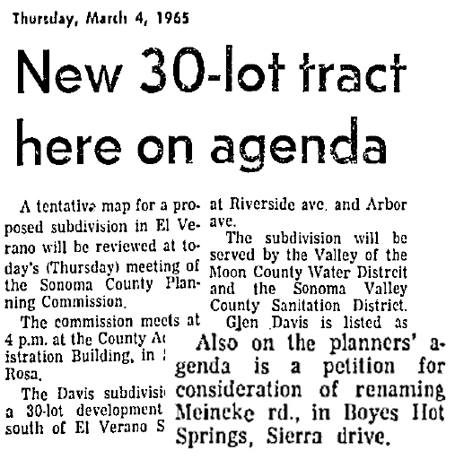
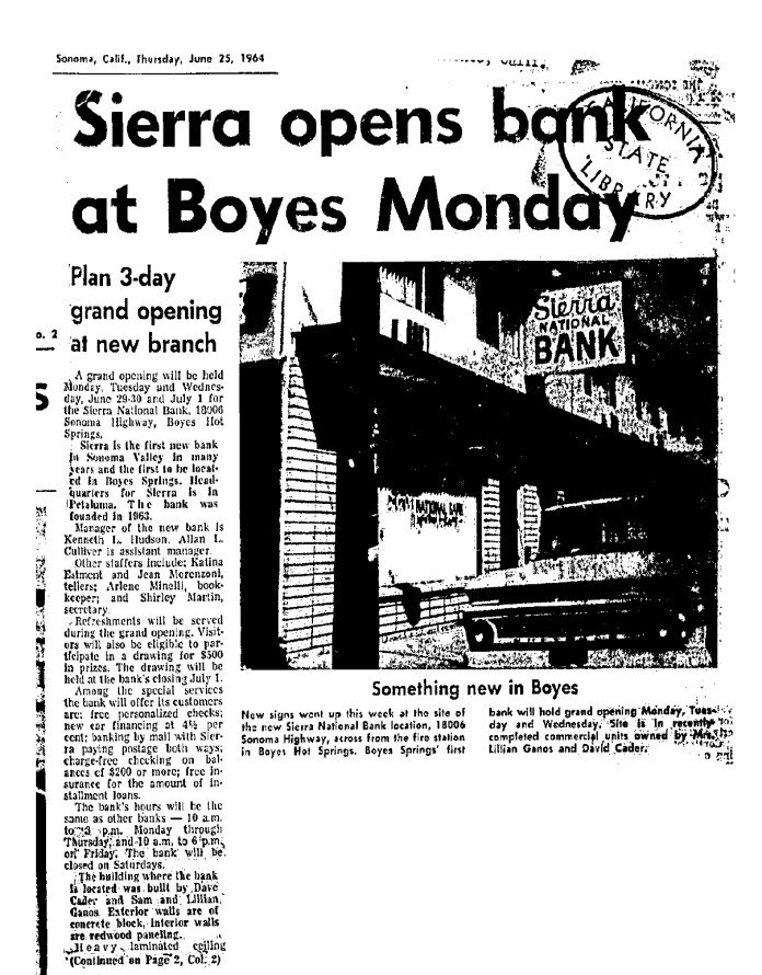
A very low key announcement of the proposed name change appeared in the IT in March of 1965.
Sierra Bank first opened in a storefront on Highway 12 in 1964. The address was 18006, now a liquor store (2018). It was front-page news in the Index Tribune. This was the first bank to open in Sonoma Valley outside of the town of Sonoma.
The new bank building was also a major project for Boyes Hot Springs in 1965 when it was announced.
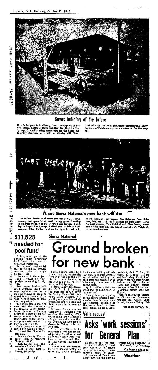
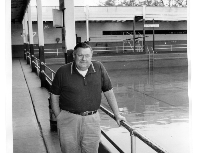
Among the luminaries attending the groundbreaking were Bud Castner, and Tom Polidori, prominent Springs businessmen. (Notice the article at bottom left. In 1965 they were fund raising for a new swimming pool.)

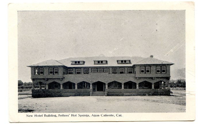
 Postmarked 1908
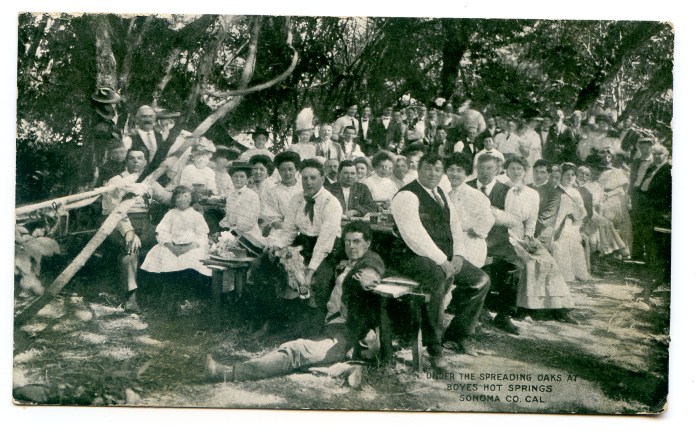
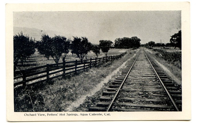
 Postmarked 1909
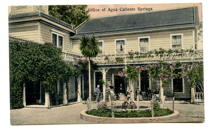