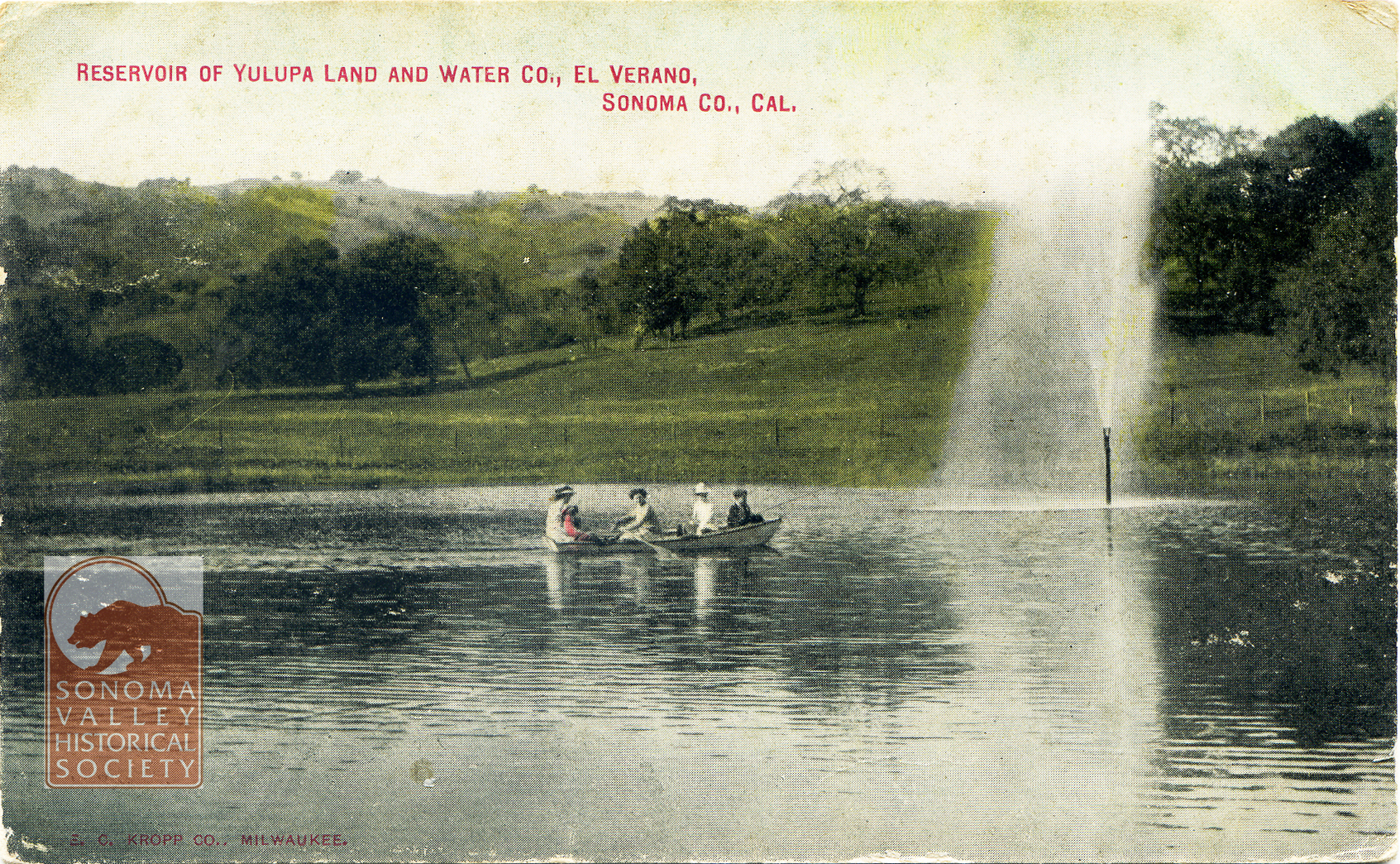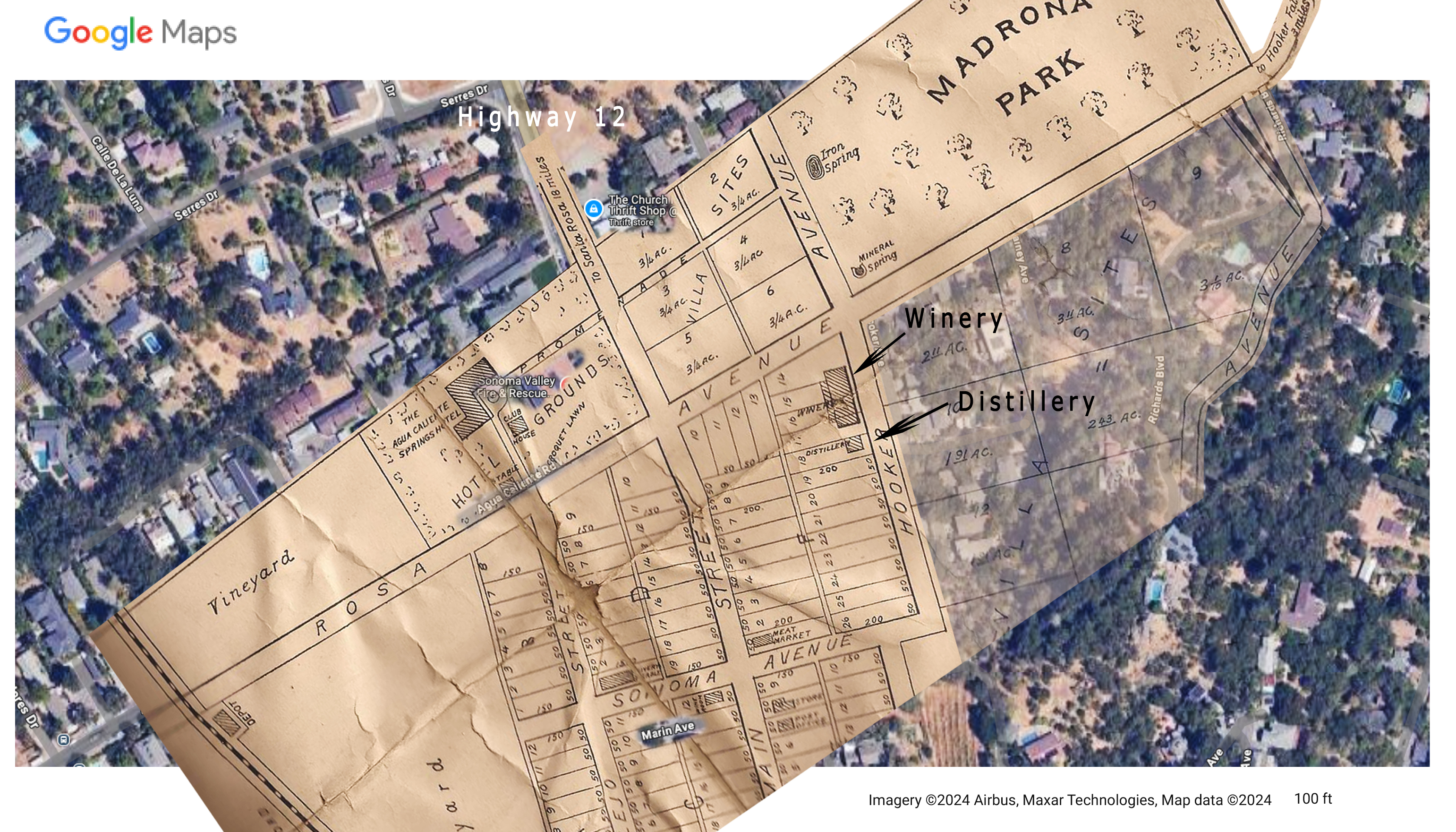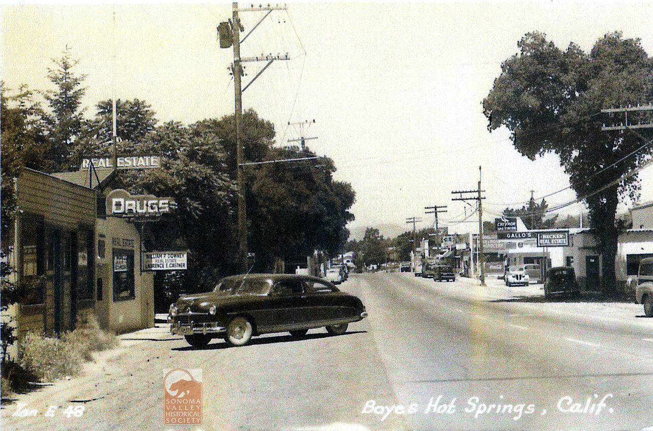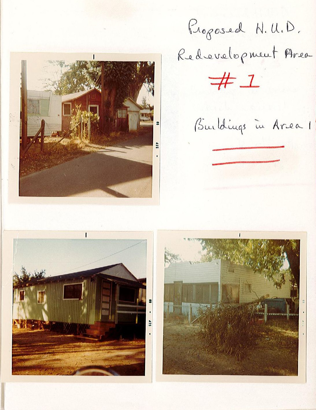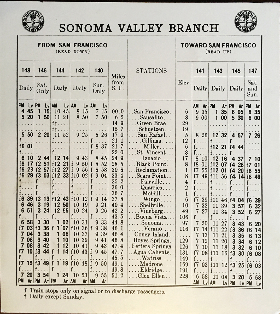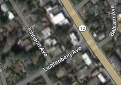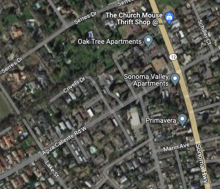
The Sonoma Valley Redevelopment area was established by the board of Supervisors of Sonoma County in 1984. The area comprised a strip along Highway 12 from Agua Caliente Blvd. in the north to Verano Ave. at the south end, and parts of major intersecting streets.The main goals of the project were to remediate “blight”, to encourage commercial activity, and to facilitate construction of low-income housing. Major storm drain work and electrical undergrounding were done at the very beginning.
The wheels turned slowly, to say the least. By 1992 the final plan for the highway, a crucial element, hadn’t been decided. At that time Caltrans wanted to make it eight lanes!
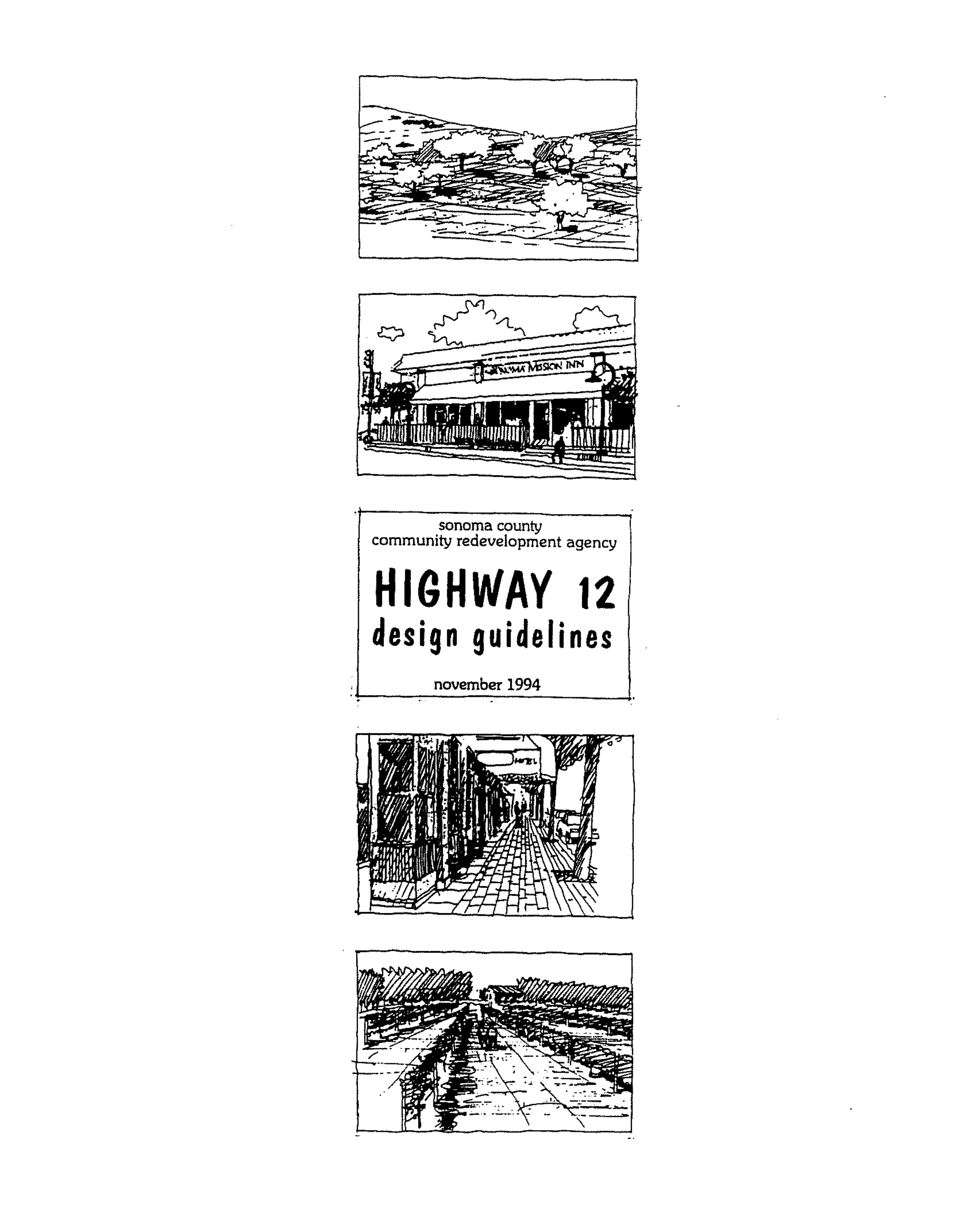
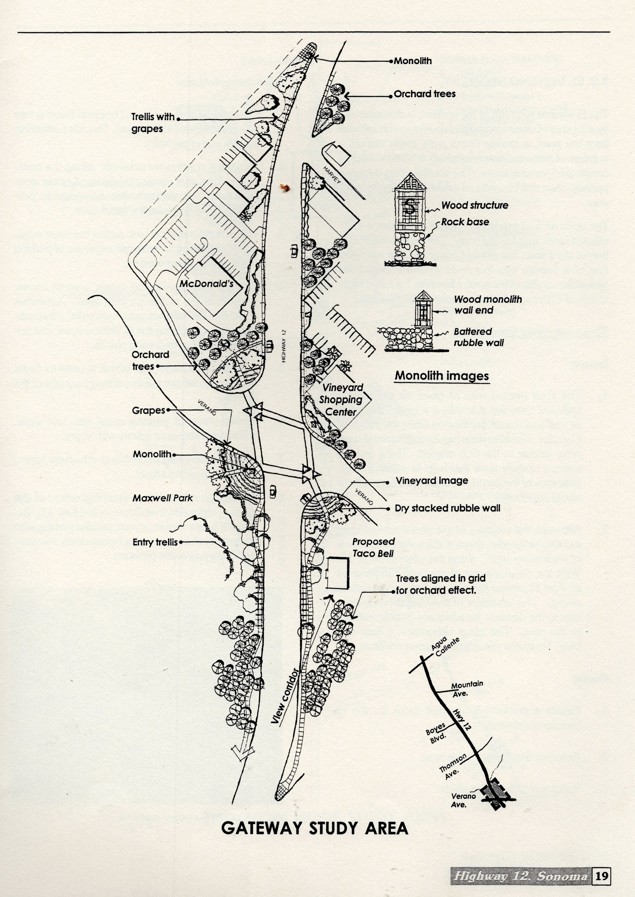
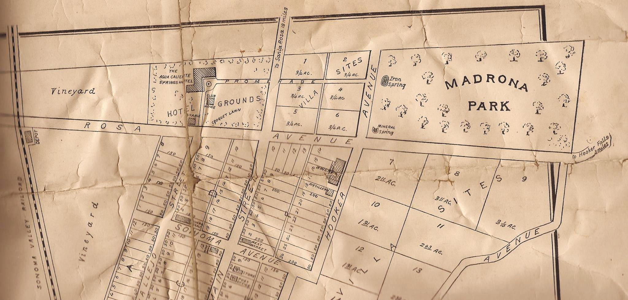
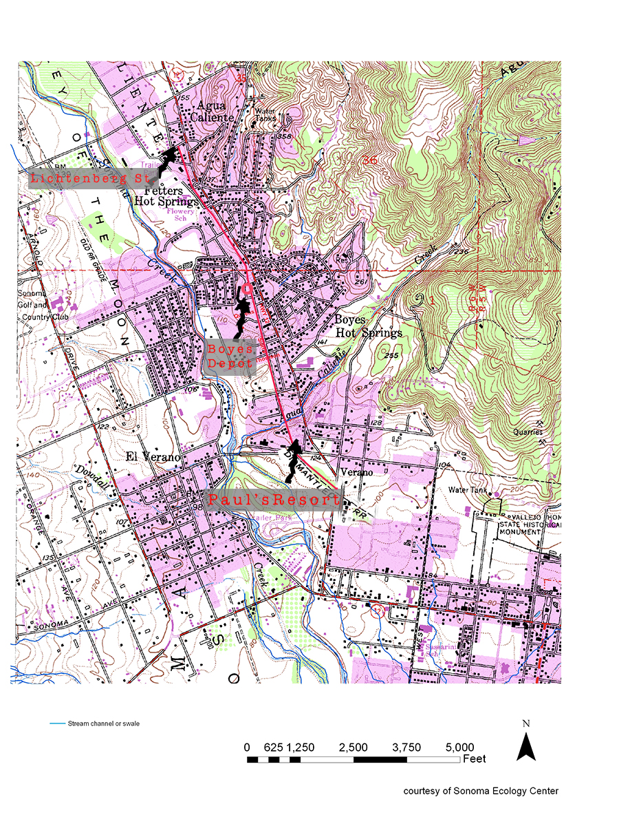
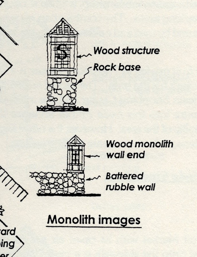
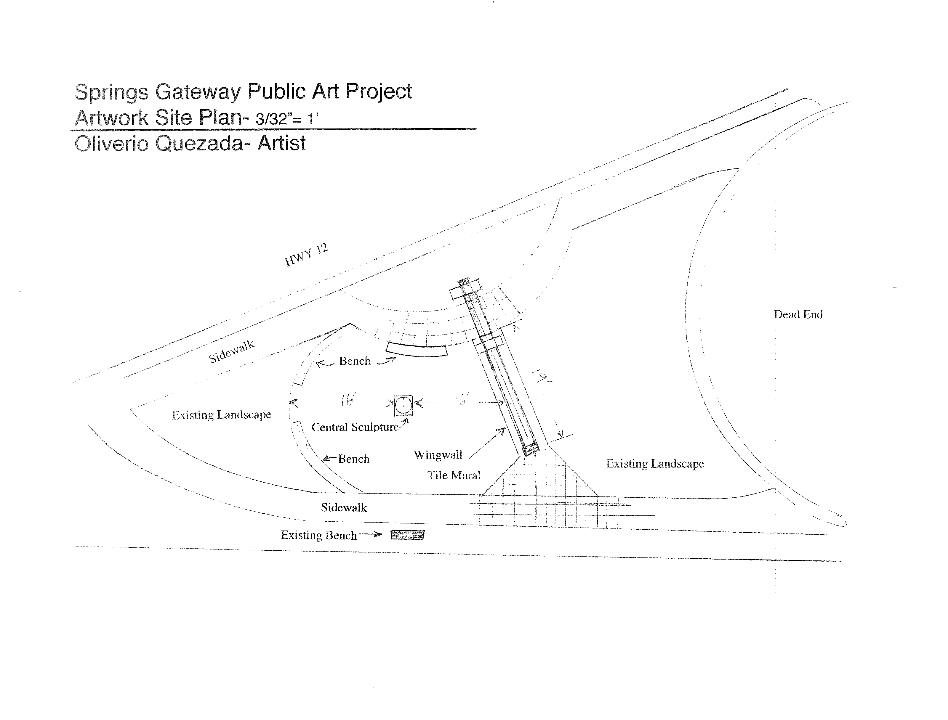
In 1994 an extensive set of design guidelines were issued. Under “Corridor Desing Concept, Southern Gateway Segment,” there is a study area map showing a “monolith” on the highway at the approximate present location of the arch (see map.) A small elevation of the monolith shows a wood trellis like structure atop a stone base. Trellises and dry-stacked walls, along with trees planted in grids to mimic orchards, are also included. These were all intended to be part of the symbolic entryway to the Springs. The last of the Recommendations in the guideline’s states “Develop further detailed design studies by retaining a consultant or by holding design competitions.”
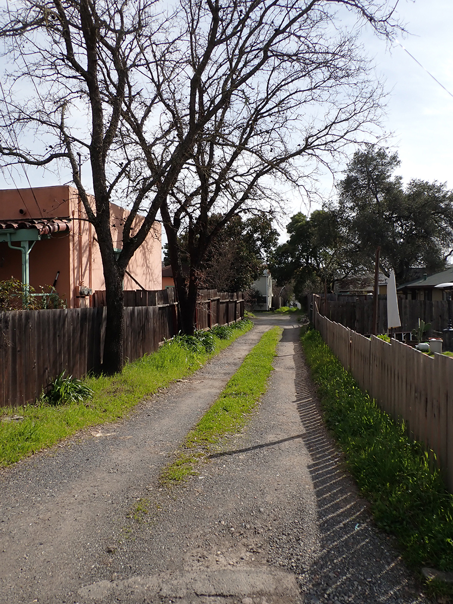
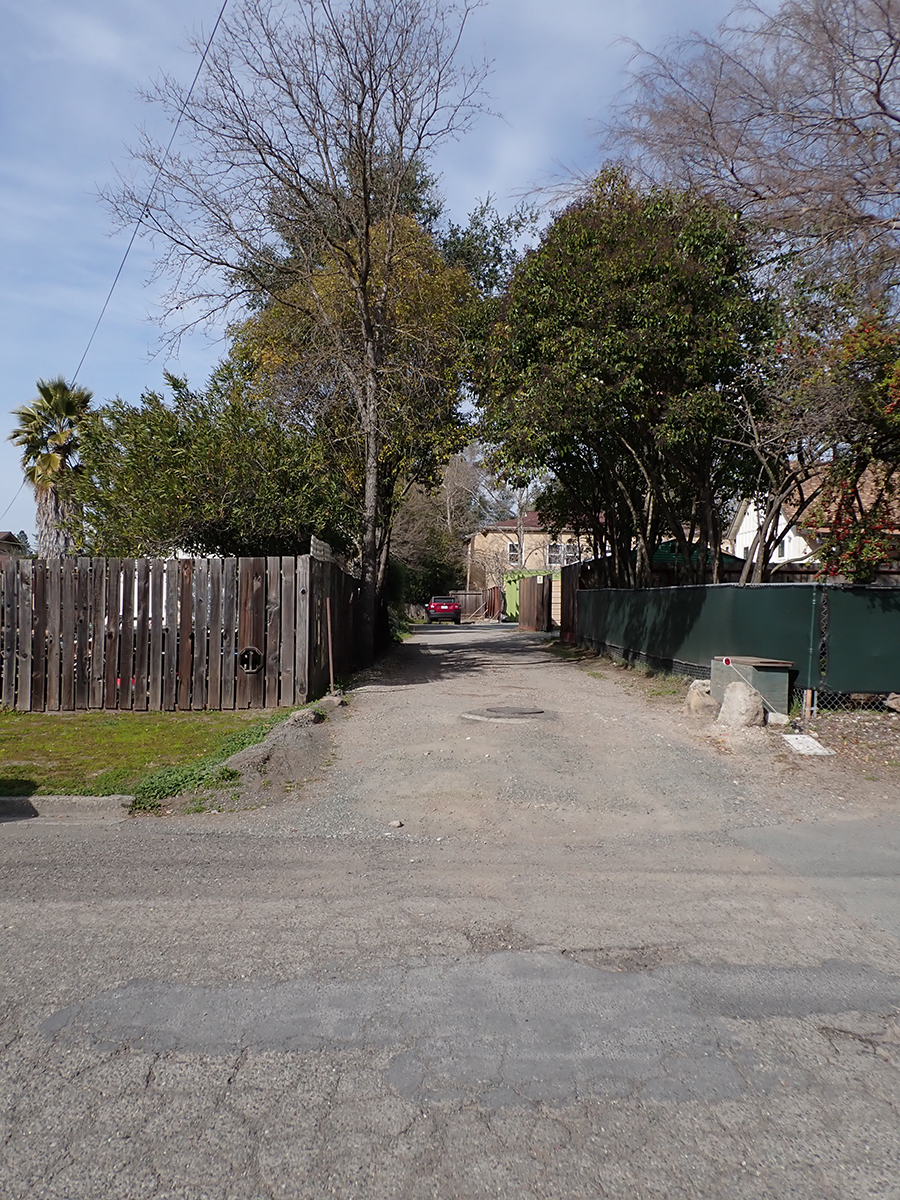
A draft of the Redevelopment plan was issued in 1996. The Pilot Project was announced. “The plans call for a pilot project to the southern gateway. It includes closing a portion of Main Street, which cuts from Highway 12 to Verano Avenue behind the McDonalds restaurant; an archway or other gateway concept, trees and light fixtures,” we learn from the Index Tribune. Landscape Architect Ron Wellander was hired to manage. “A gateway gives definition between one community and another,” explained Robert Behrens, a site-specific sculptor who worked on the planning stages of the program.” Behrens is best known in Sonoma as designer of the Veterans Memorial Park.
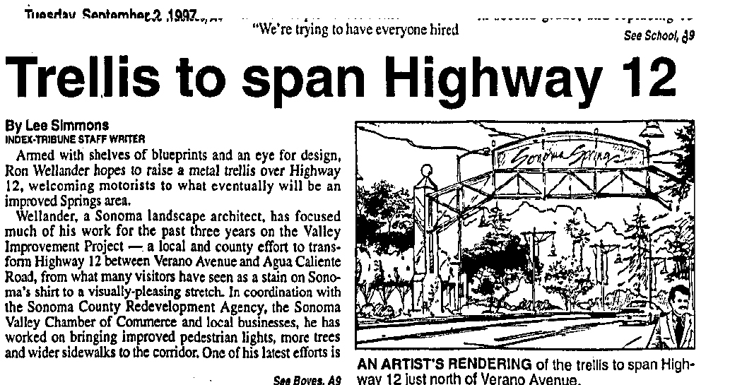
In July of 1997 the Index Tribune announced that “ Among the many improvements for Highway 12 between Boyes Blvd. and Agua Caliente Road will be a metal archway…the archway will consist of two posts, one at either side of the road near Boyes Boulevard, with a metal trellis extending over the road showing a welcome to drivers heading north. It was felt by the consultant (Wellander) that we need something that would announce dramatically the entrance to the springs,” (This is confusing. First, the Redevelopment area starts at Verano Ave, second, the pilot project is nowhere near Boyes Blvd.) The cost was estimated at $200,000.
In September of 1997, Caltrans informed the County that “We do not allow these type of structures to be built over highways.” End (of this part ) of the story.
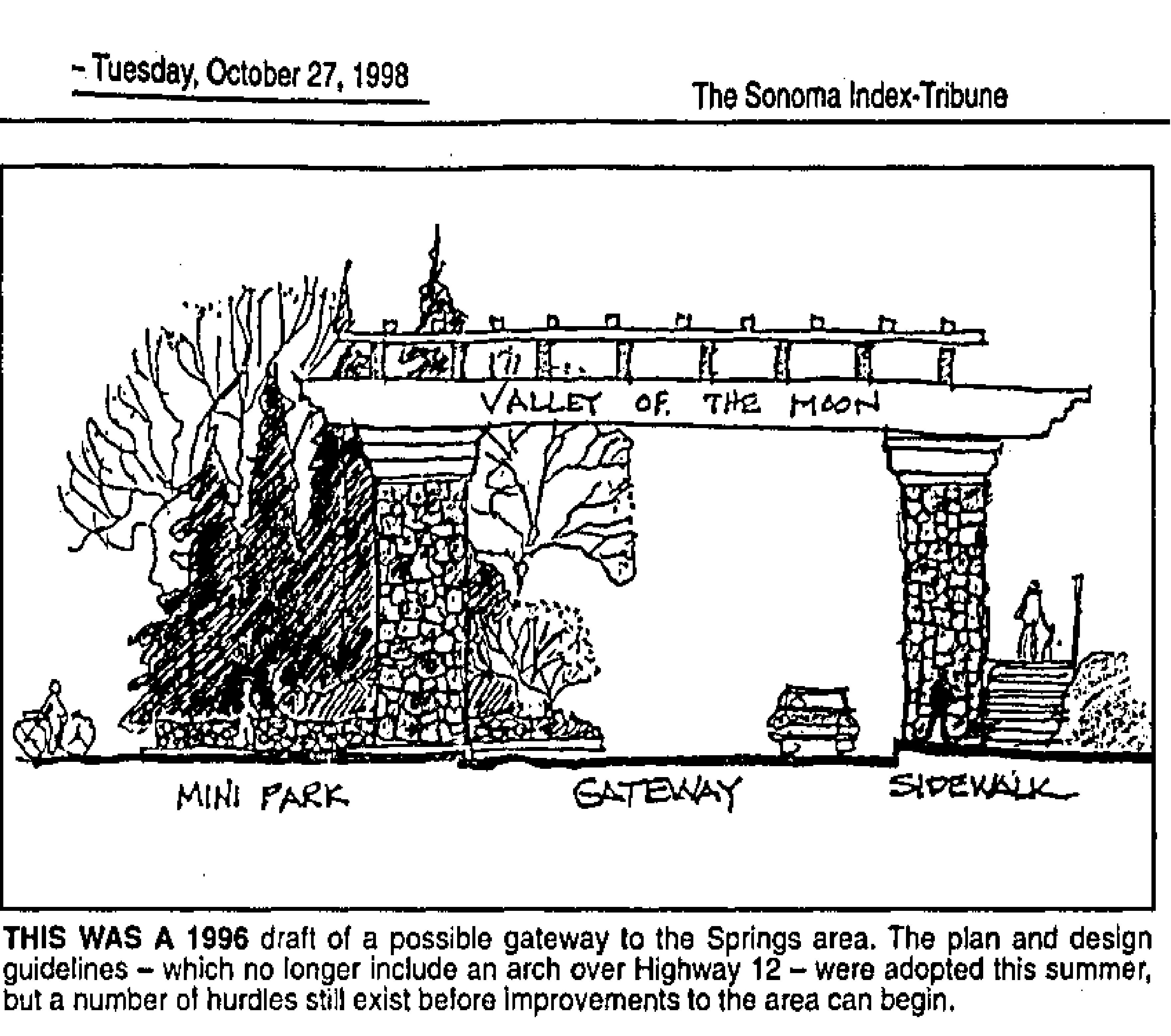
Construction still had not been started by early 1999. “…the $700,000 first phase of the project…has suffered a number of setbacks. The most widely publicized of these was the proposal to buil a 20-foot-high metal trellis spanning the state highway just north of Verano Avenue (not Boyes Bldv!) While a relatively minor part of the project as a whole, the arch was widely criticized as unsightly and unnecessary.” Index Triune Feb 2, 1999. To complicate matters more, landscape architect Wellander filed for bankruptcy.
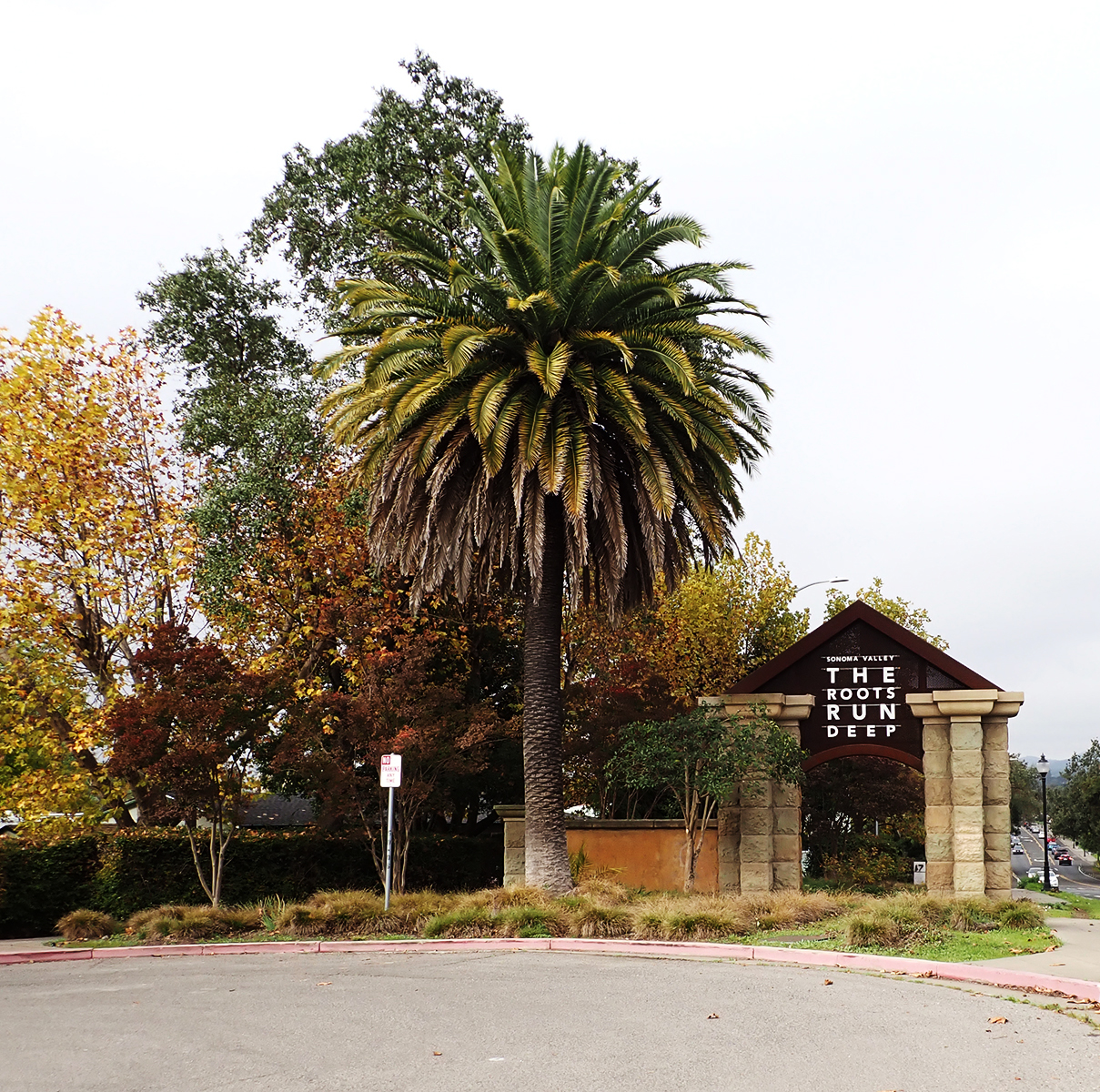
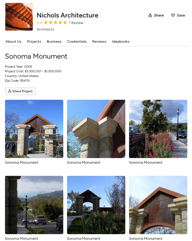
Our current gateway arch was built sometime between 2003 and 2005. The architect was Dan Nichols. According to the Houzz website, the year is 2005 and the budget was “1,000,000-1,500,000,” which seems a bit high. The budget for the entire pilot project was only $700,000. A friend who attended public meetings at the time remembers the cost as being $611,000. I have not been able to make contact with Mr. Nichols.
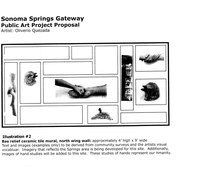
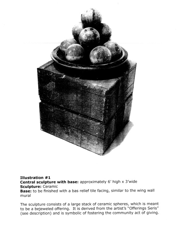
However, the Advisory Committee of the Springs Redevelopment the RAC) had some questions. The tile were to be covered in text. “”I want the text and imagery to be as pure and beautiful as possible, incorporating the best of everything existing in the Spring Area’s past, present and future,” Quezada said in his written proposal, but the RAC wanted to see all of it before they would OK the total art project. However again, these objections seem to have faded away, with a new problem arising in 2008: money for maintenance of the artwork. The CDC could fund it but could not to maintain it. Other agencies like Public Works or Parks, didn’t have the money for the (continuing) job. “Kathleen Kane, executive director of the county’s Community Development Commission, told the local panel that maintenance questions and funding need to be resolved before the project can continue. “Kane said that the project could be in danger of fading away. “If we can’t get it settled to the satisfaction of public works, it could die,” she said.” Fade away it did.
Soon after, the rusticated stone cladding was applied to the bare concrete pillars.
Now we have an essentially meaningless public art work with a wine-centered advertising slogan on the steel upper part, installed by persons unknown. Inquiries have been made. None of the powers that be have an answer.
Mu contention is that the Gateway Arch could still be transformed into a real symbol of our community. We have plenty of creative talent. All we need is money. HA!
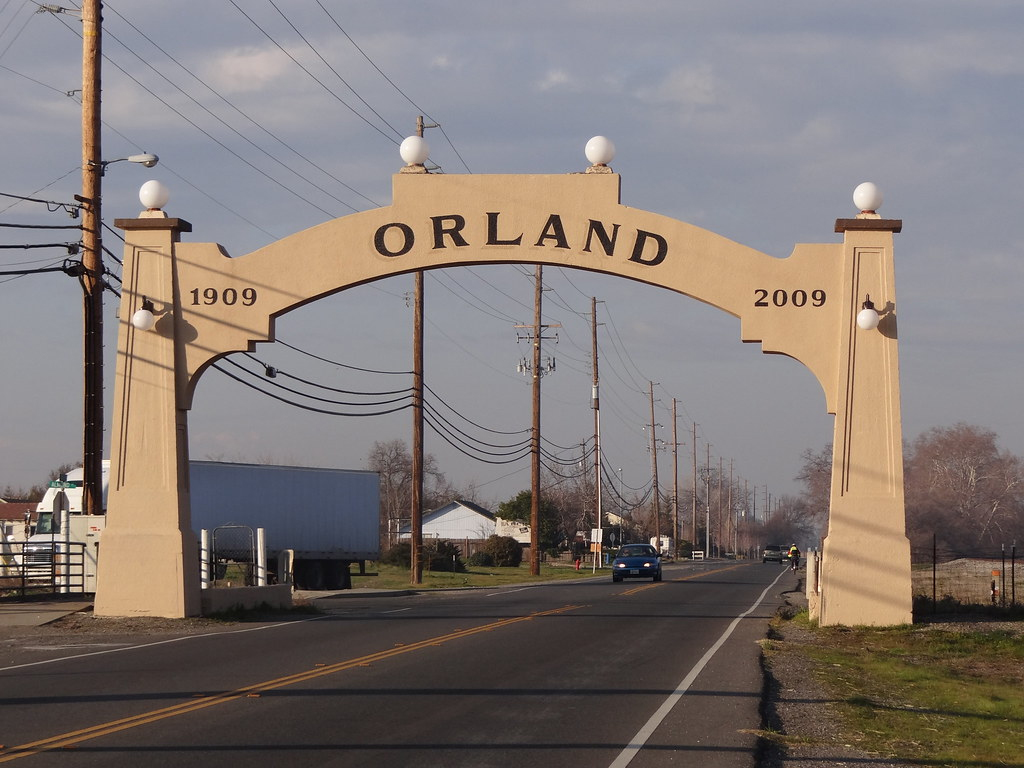
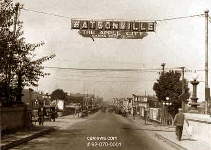
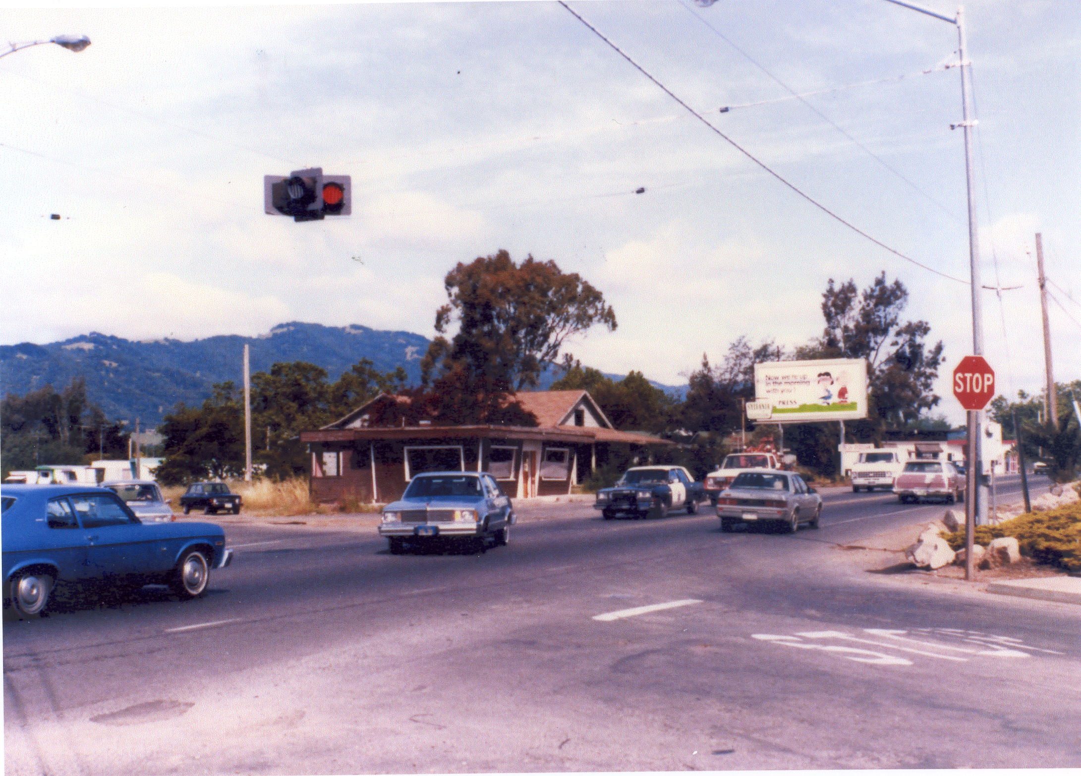
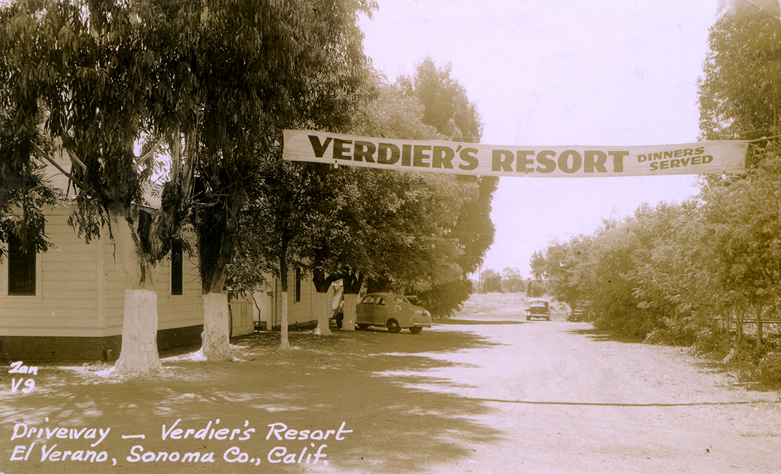
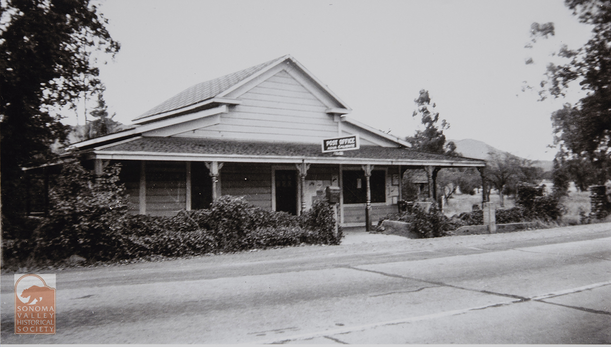
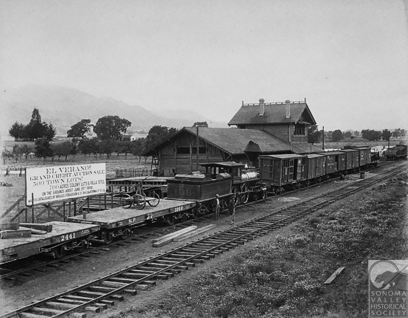
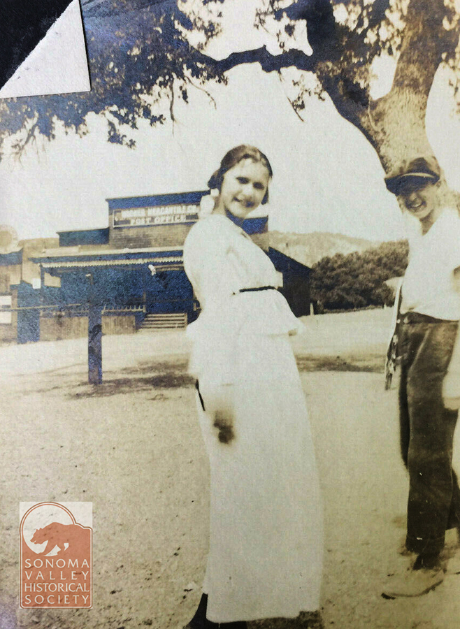
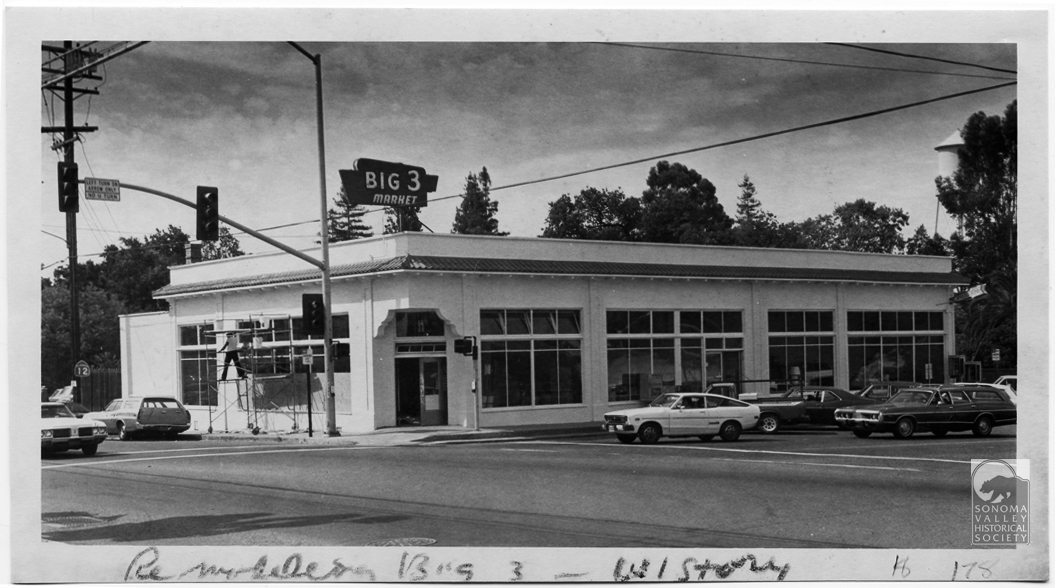
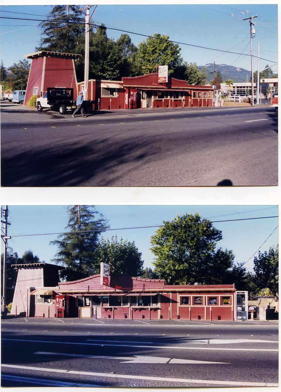
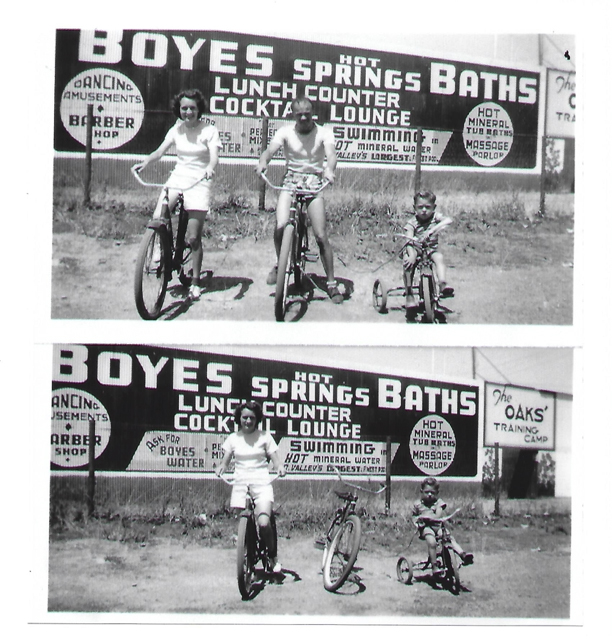
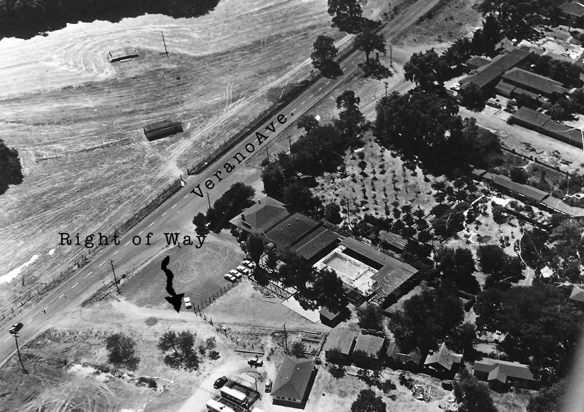
The Orland and Watsonville arches predated Caltrans. The upper right image is the corner of Verano Avenue and Highway 12 in the 1970s(?) Caltrans had no problem with hanging a traffic signal over the road.
Index Tribune courtesy of the Sonoma Valley Historical Society. Join today!
copyright 2026 Michael Acker