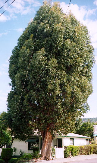
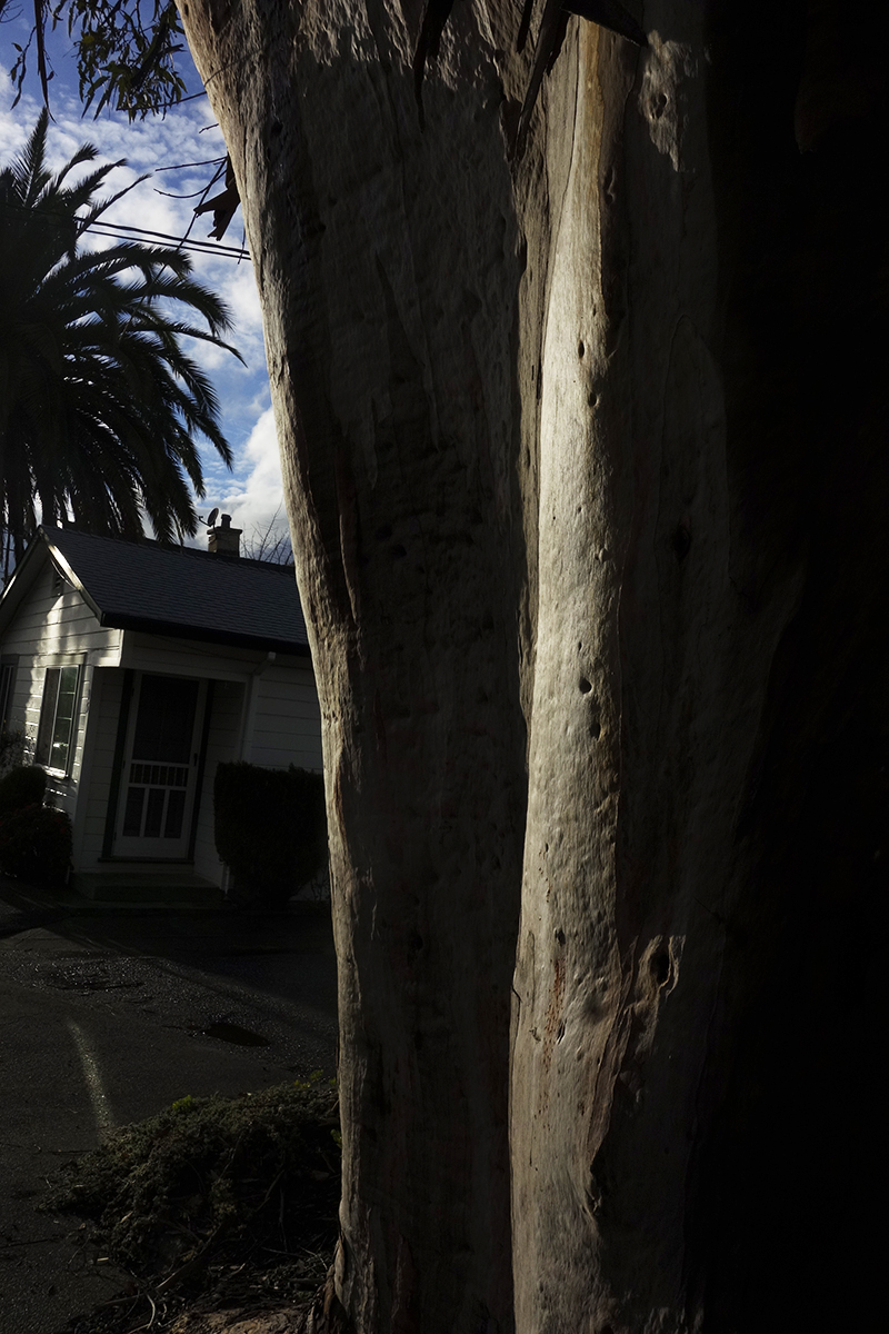
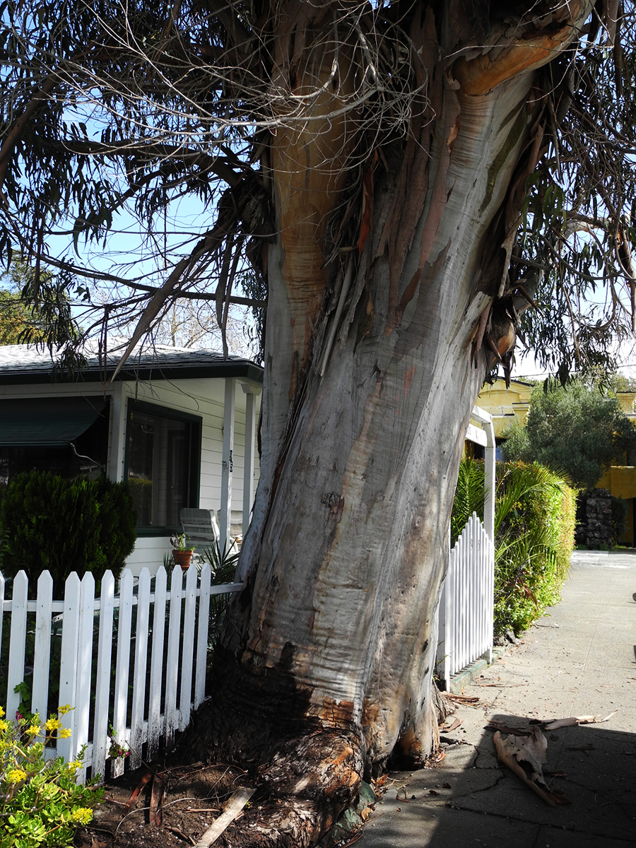
It’s always sad when we lose a tree. I called it “the Big Euc.”
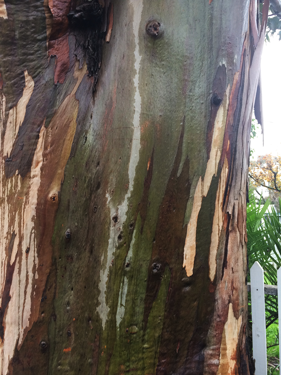
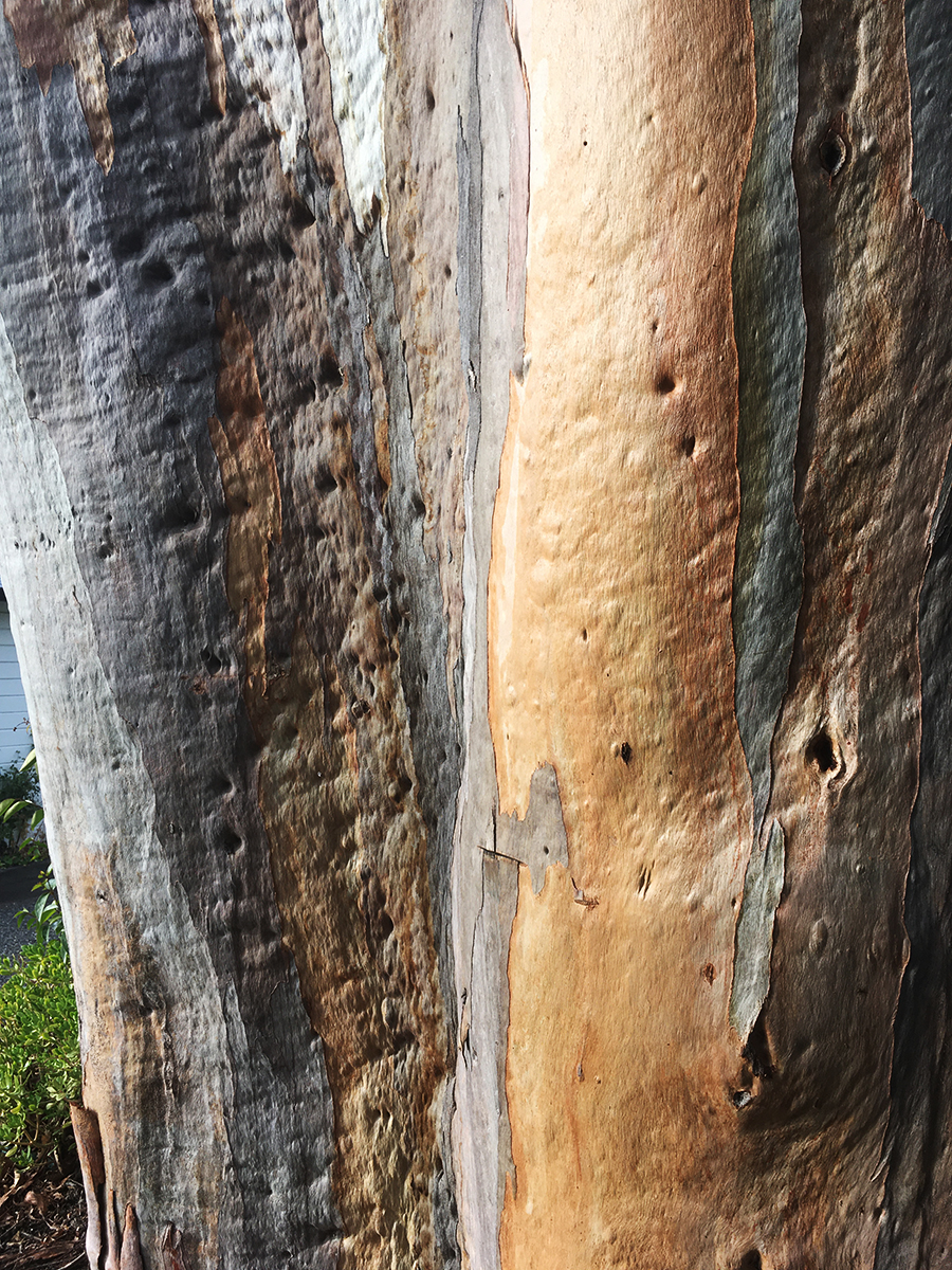
I know eucalyptus are exotic, invasive, and sometimes dangerous (they are highly flammable and may have other impacts, but the story is not only negative: see https://ucanr.edu/site/igors-urban-website/eucalyptus-california) .But they are, by now naturalized in California and in our minds. We have grown up with them. Their fragrance is embedded in our olfactory cortexes. The beauty of their variegated bark delights.
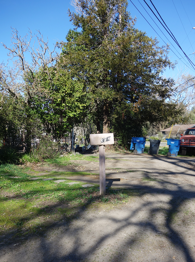
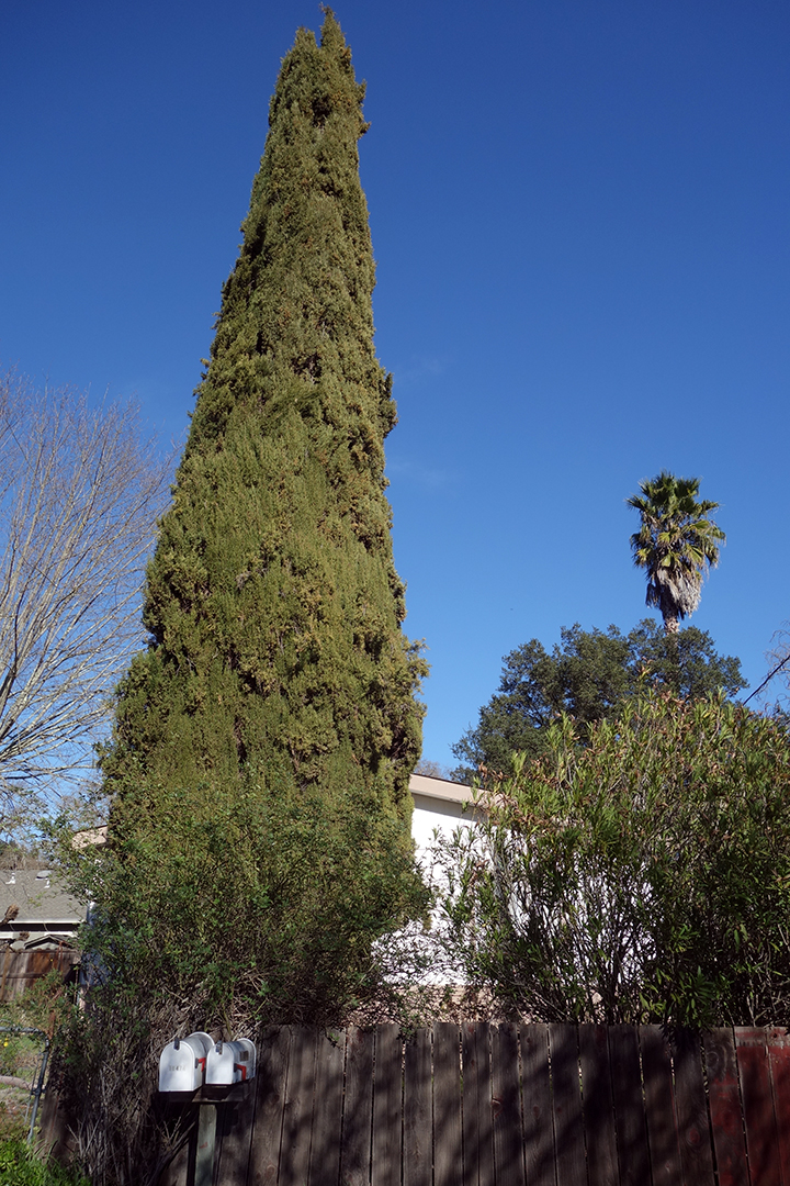
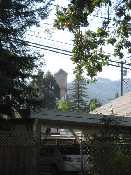
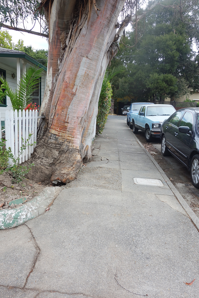
This friend grew on Vallejo Ave. near Highlands Blvd. in Boyes Hot Springs. Probably a volunteer, it may have sprouted around the time the motor court behind it was built, possible just after the 1923 fire. https://springsmuseum.org/2017/11/01/fire/


2007

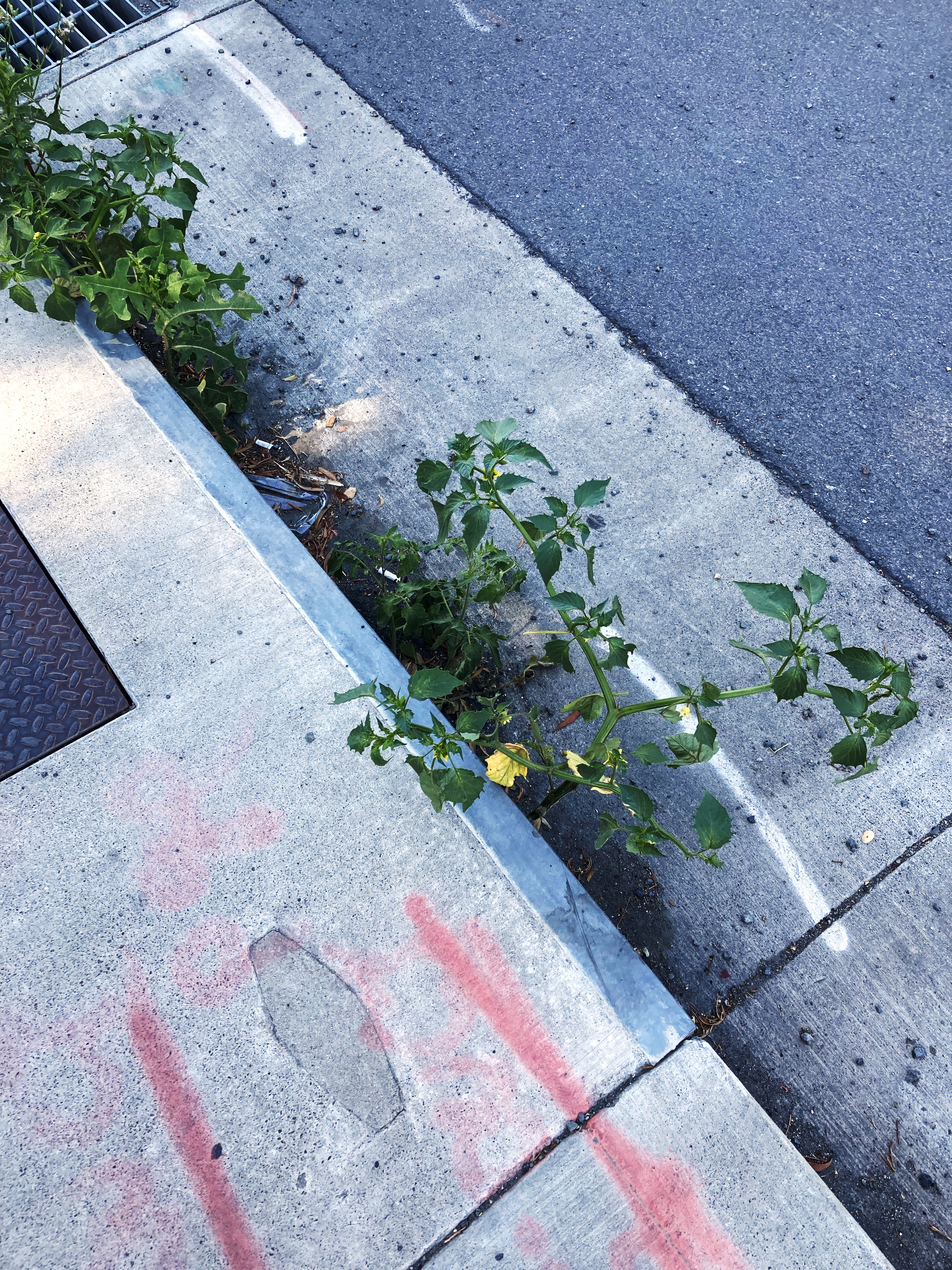
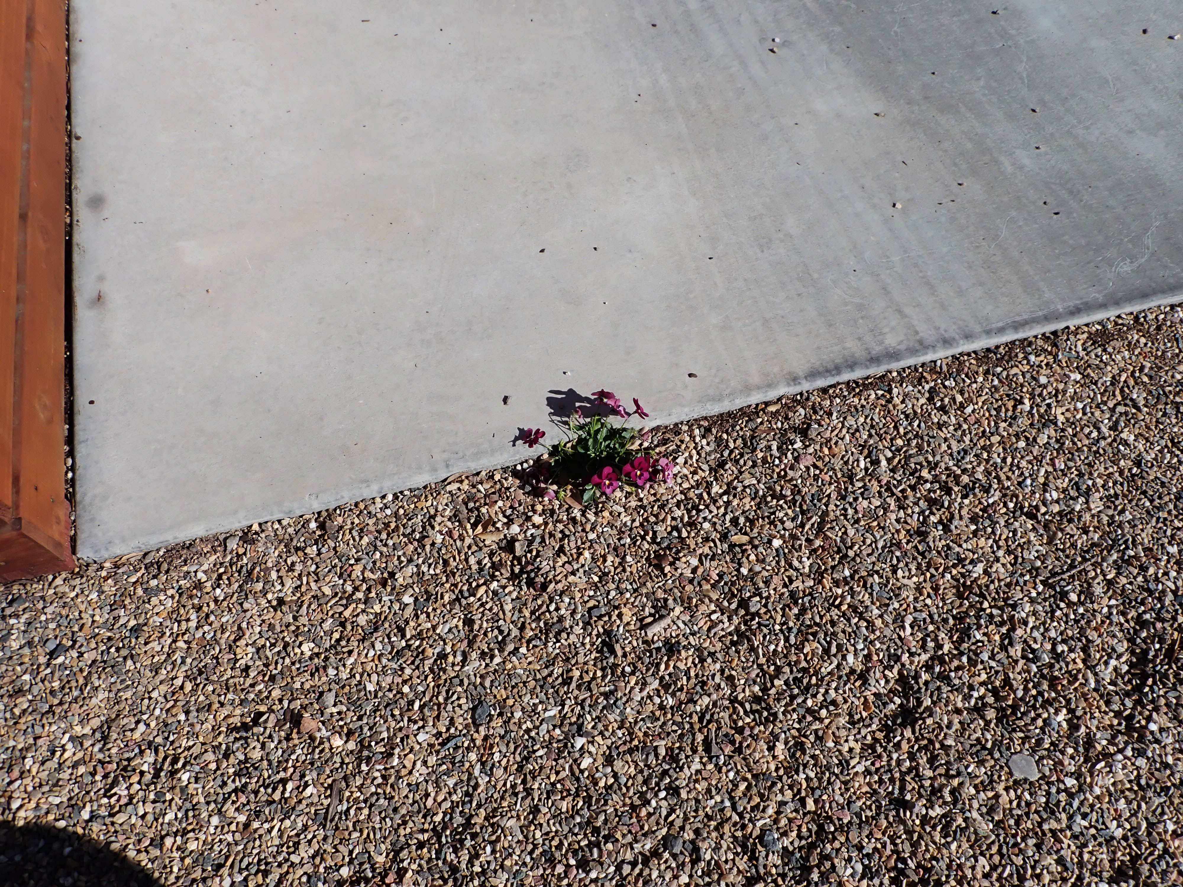
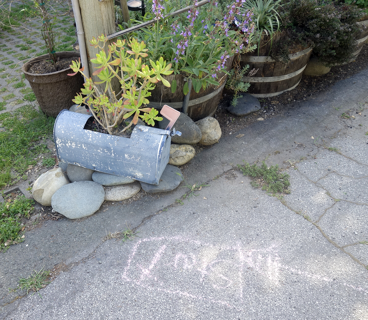
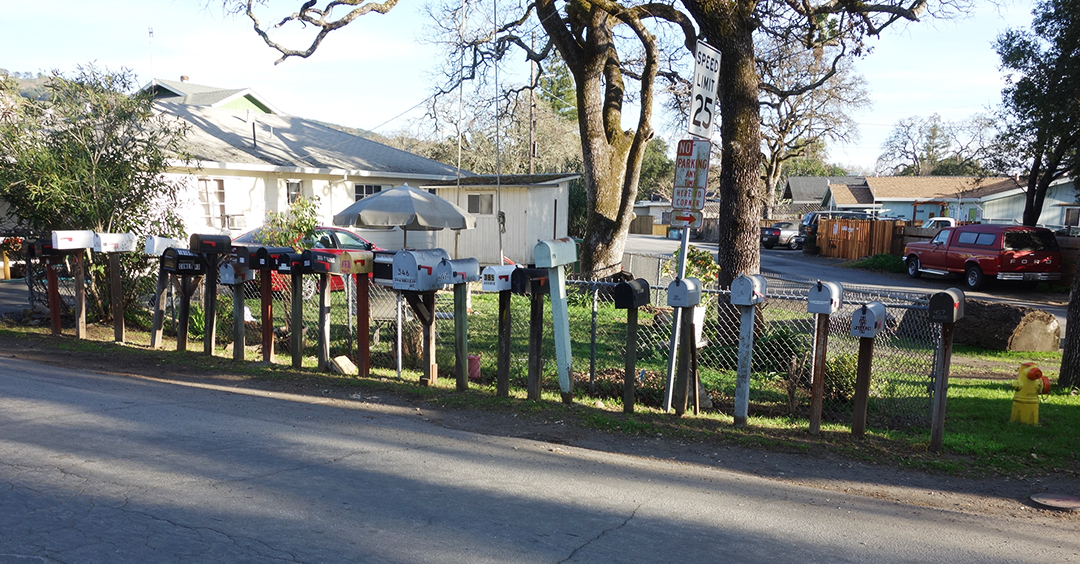
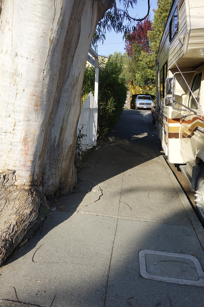
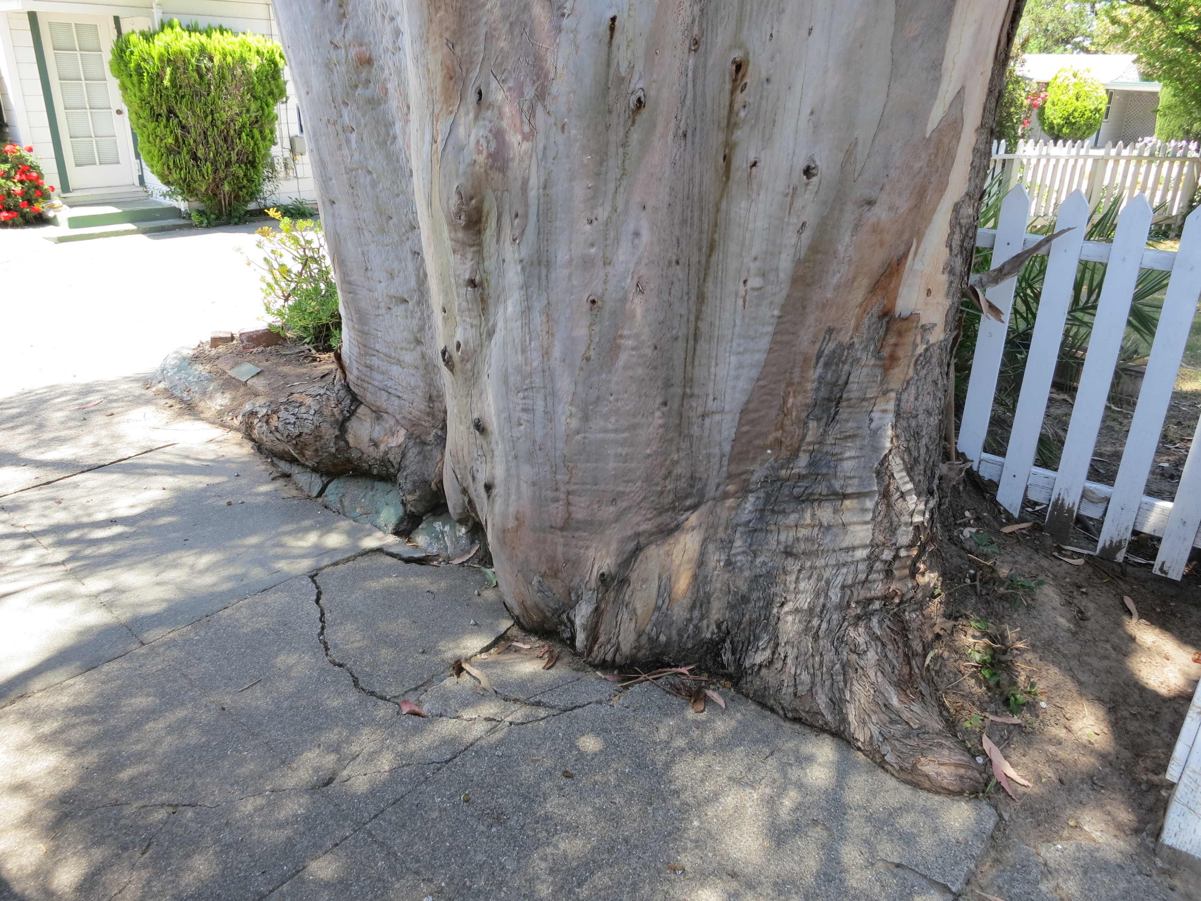
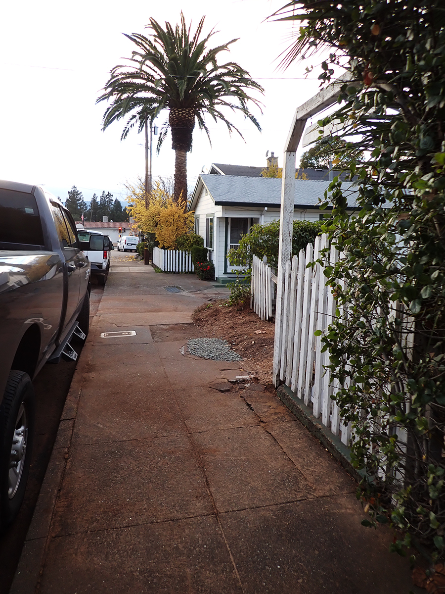
I actually liked the way this tree was grinding up the concrete sidewalk, like a very slow motion wave of living wood. I have special place in my heart for the interaction of trees and the built environment.
Makes beautiful shadows.

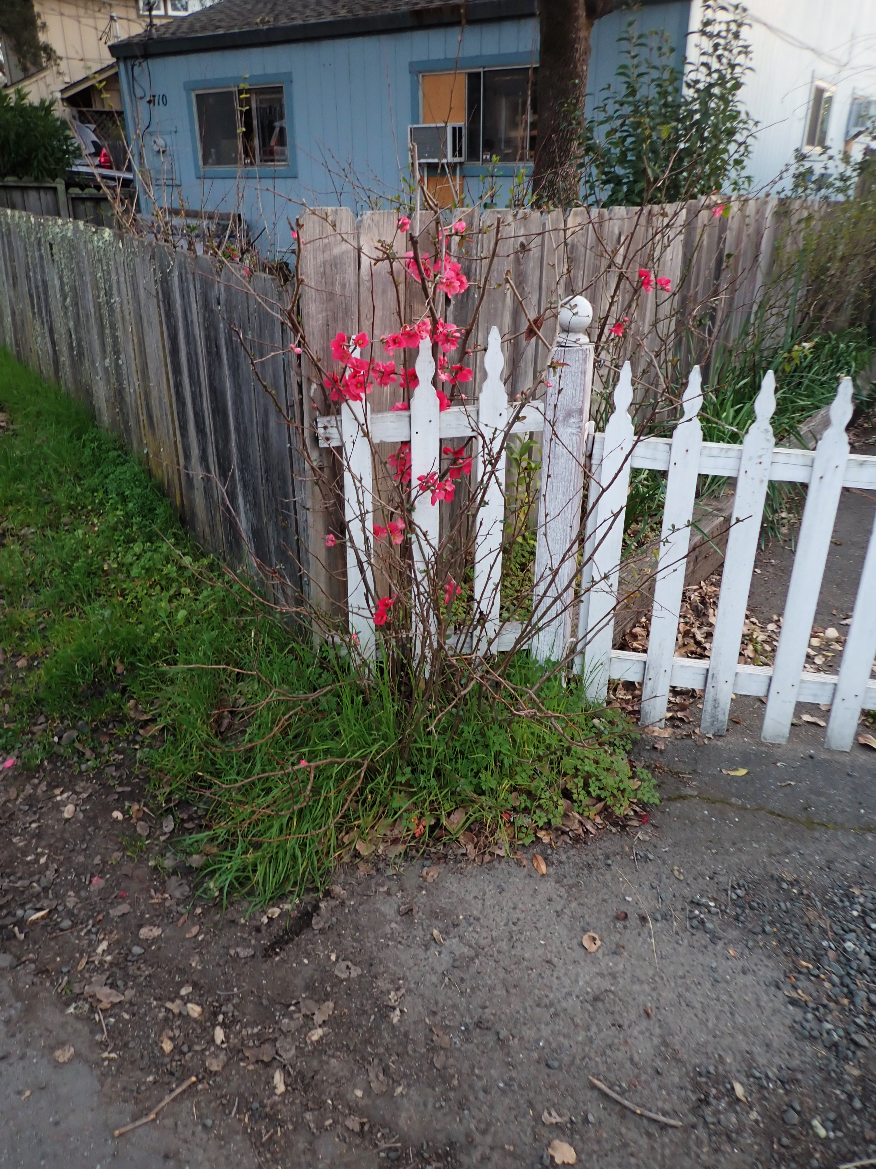
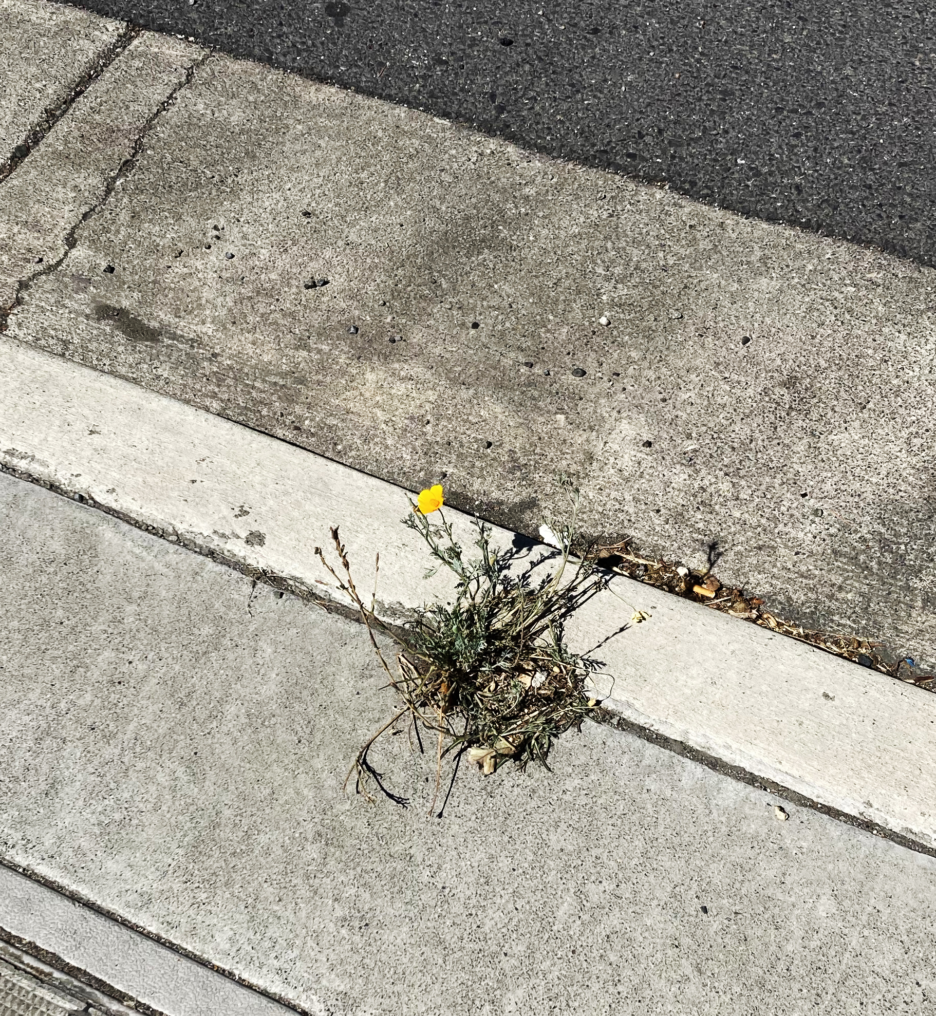
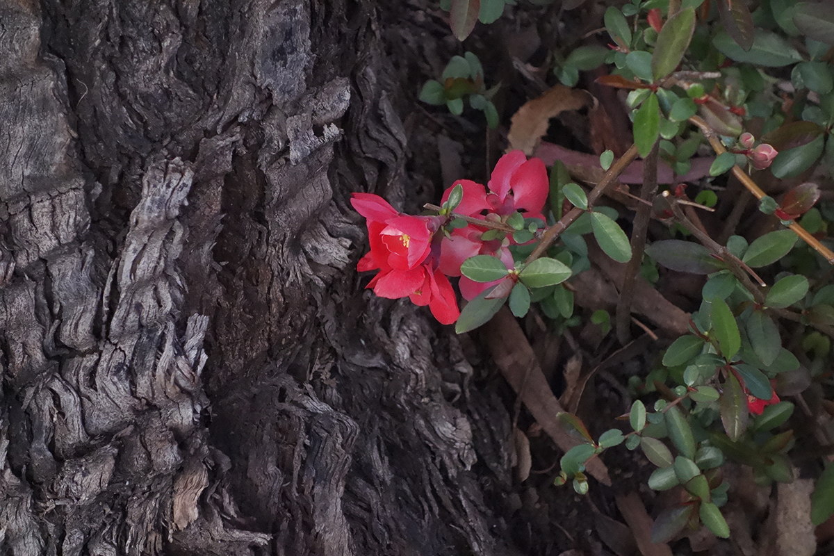
This quince volunteer bloomed every February for Lunar New Year.
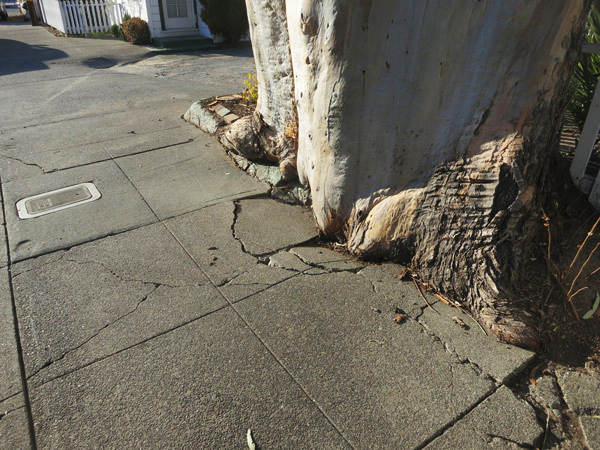

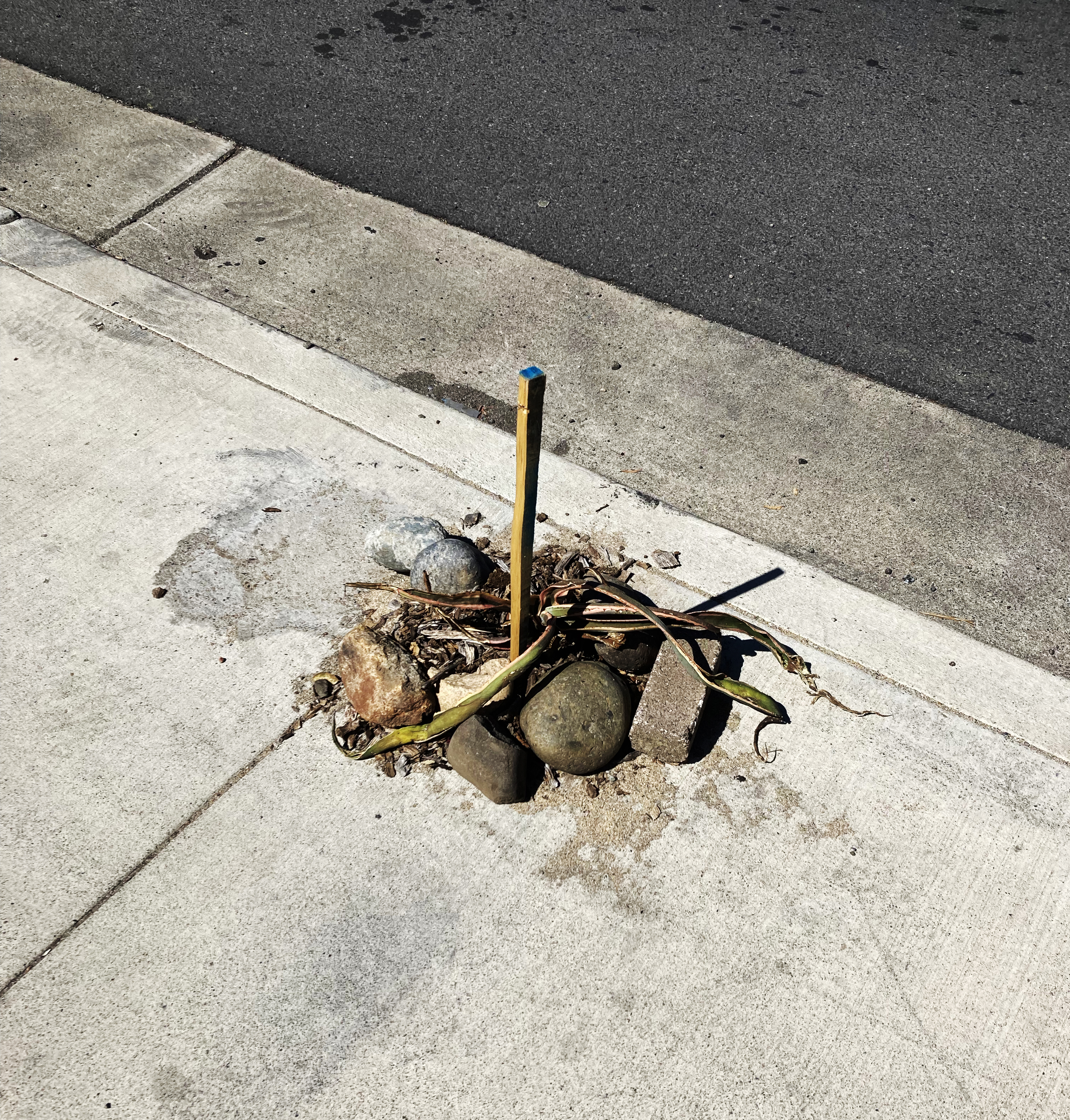
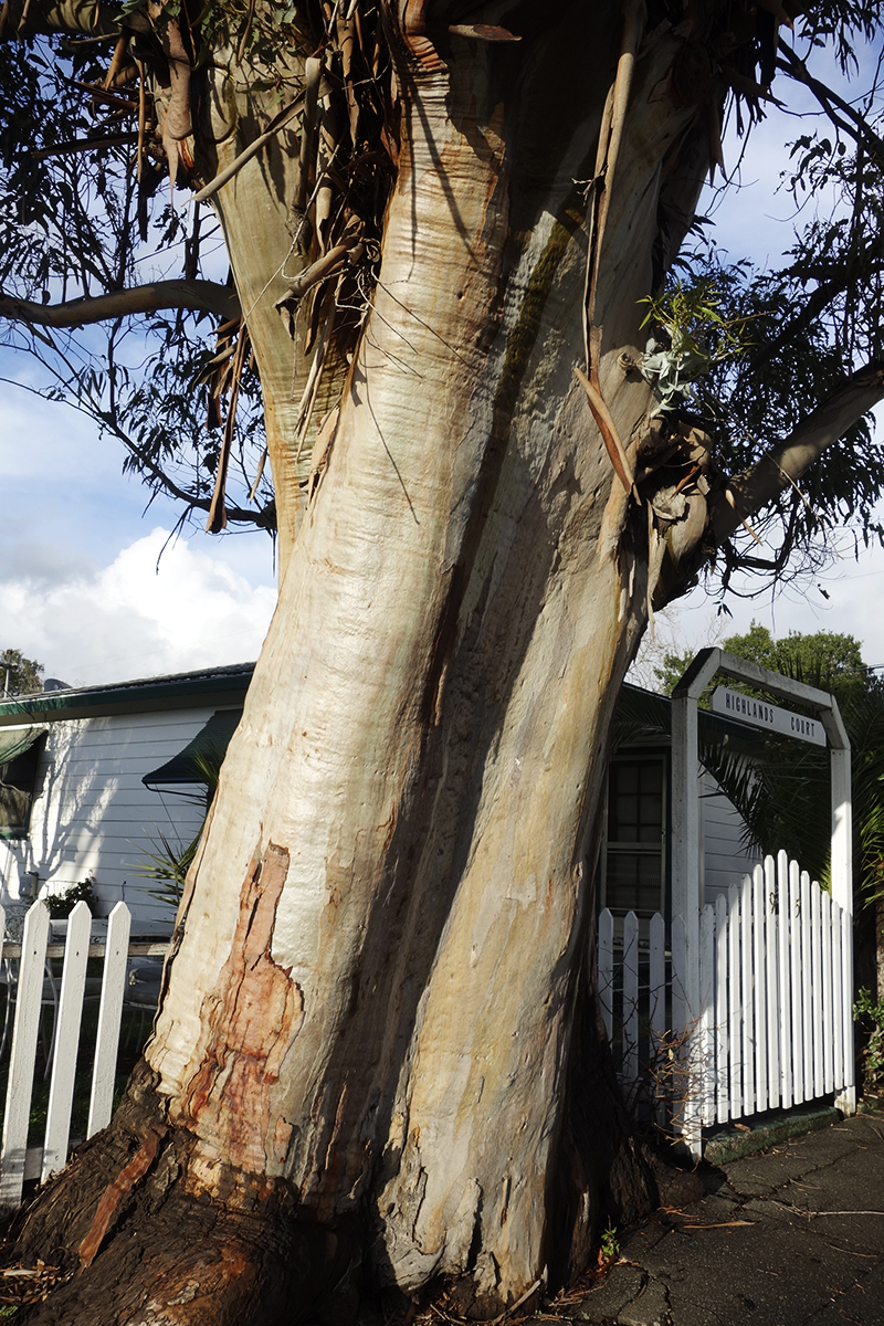
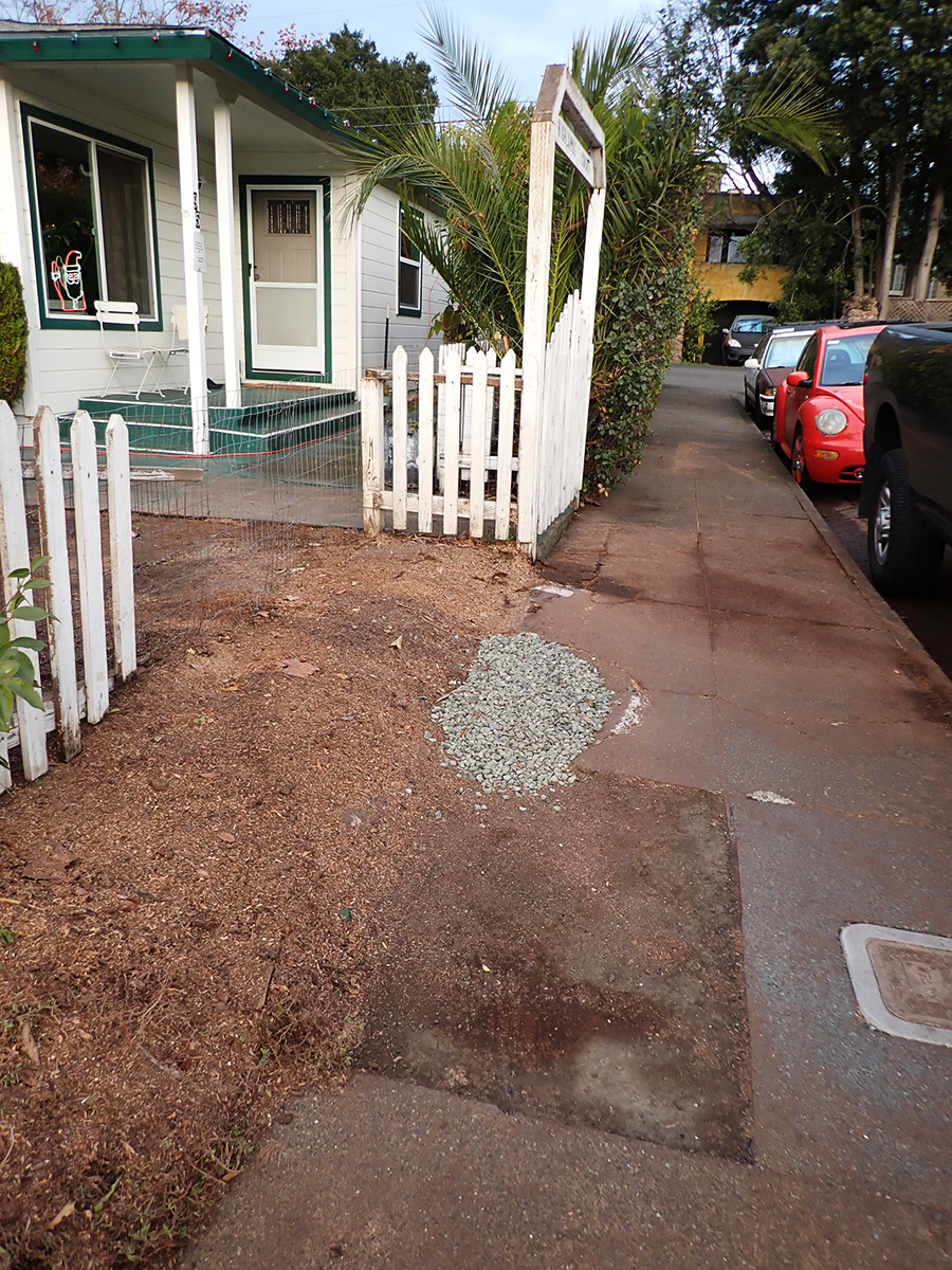
Eventually a piece of the concrete was removed for some underground plumbing repair and replaced with crushed rock.

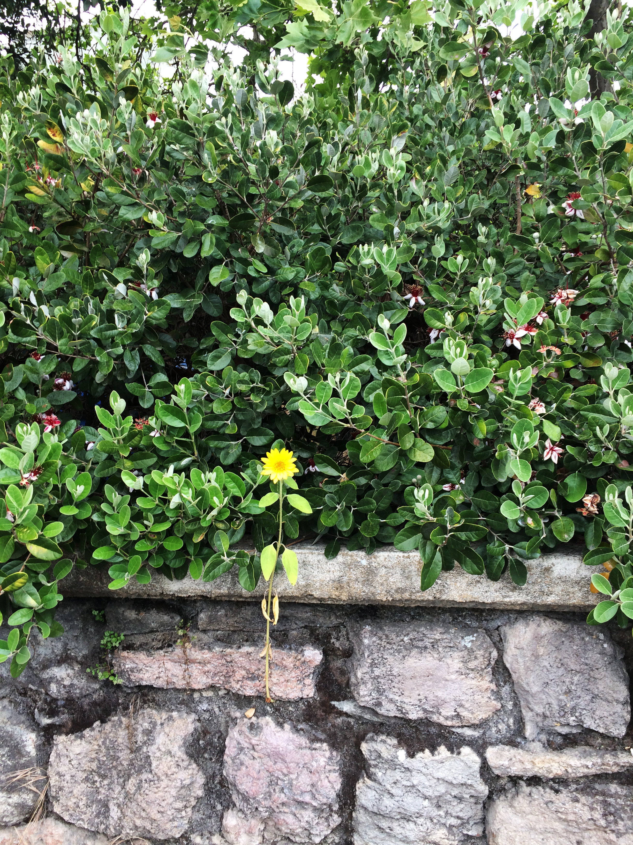
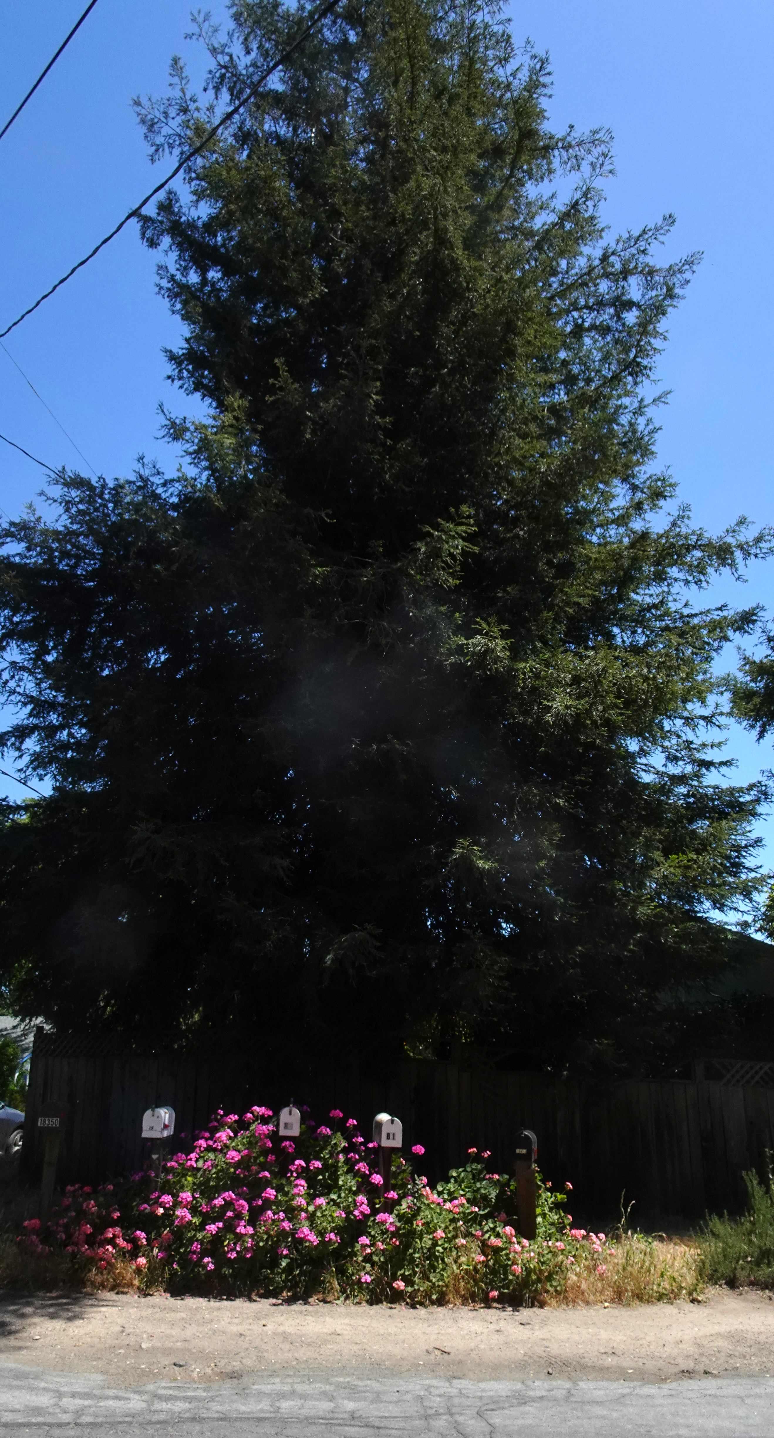
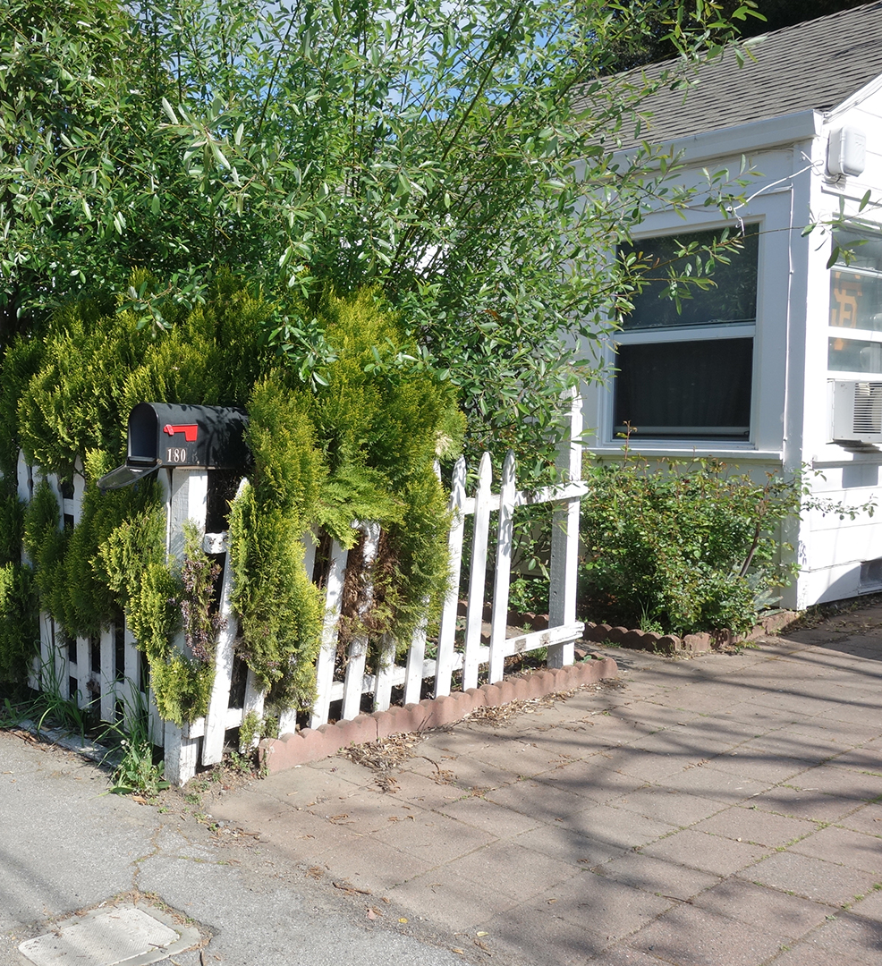
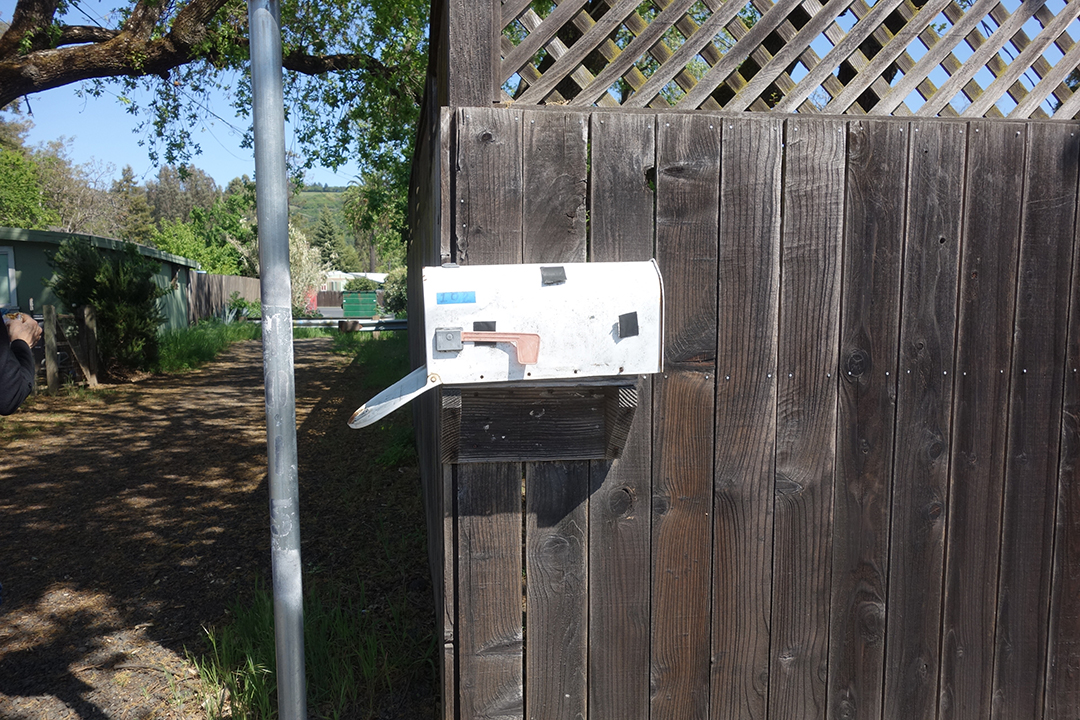
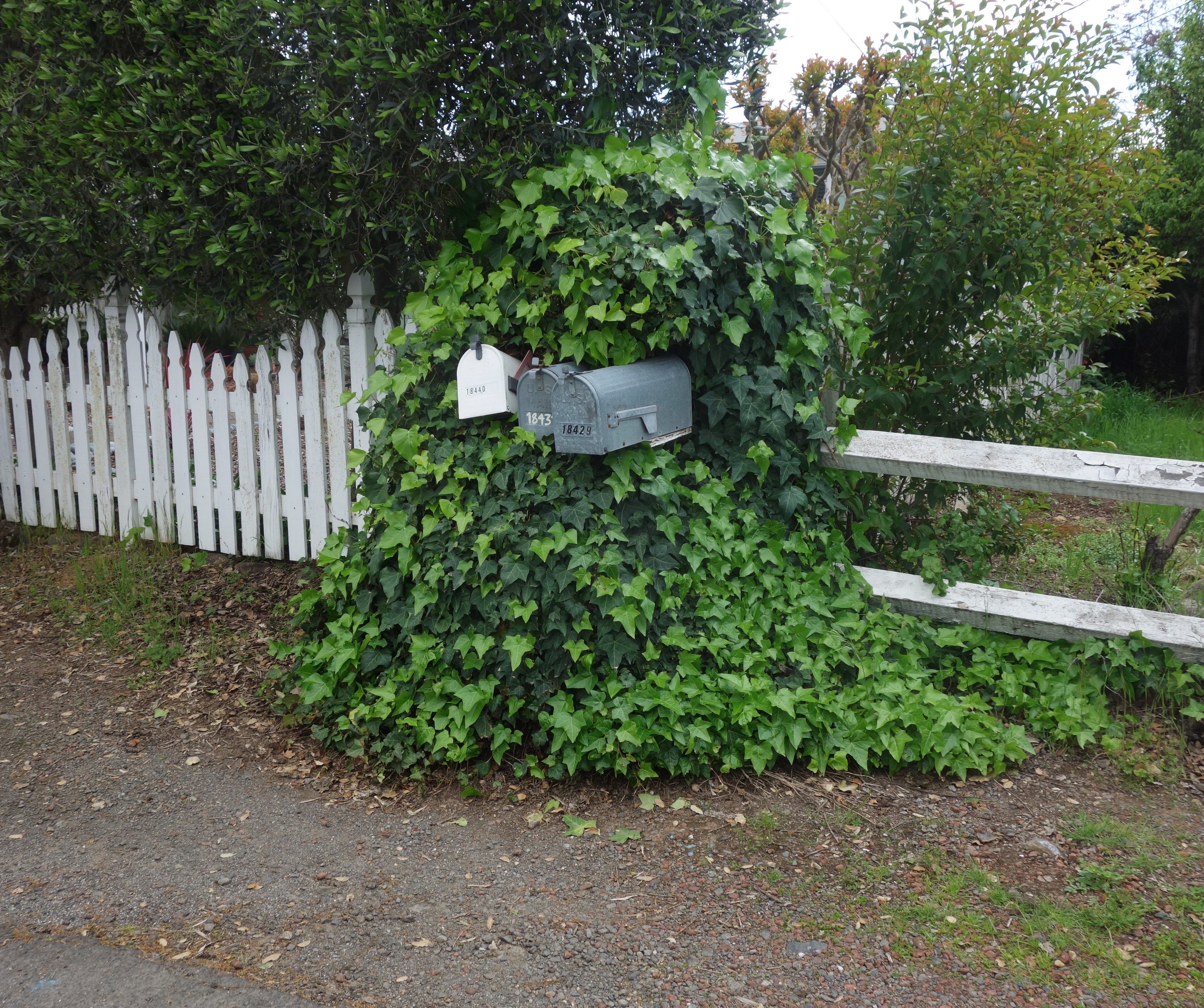
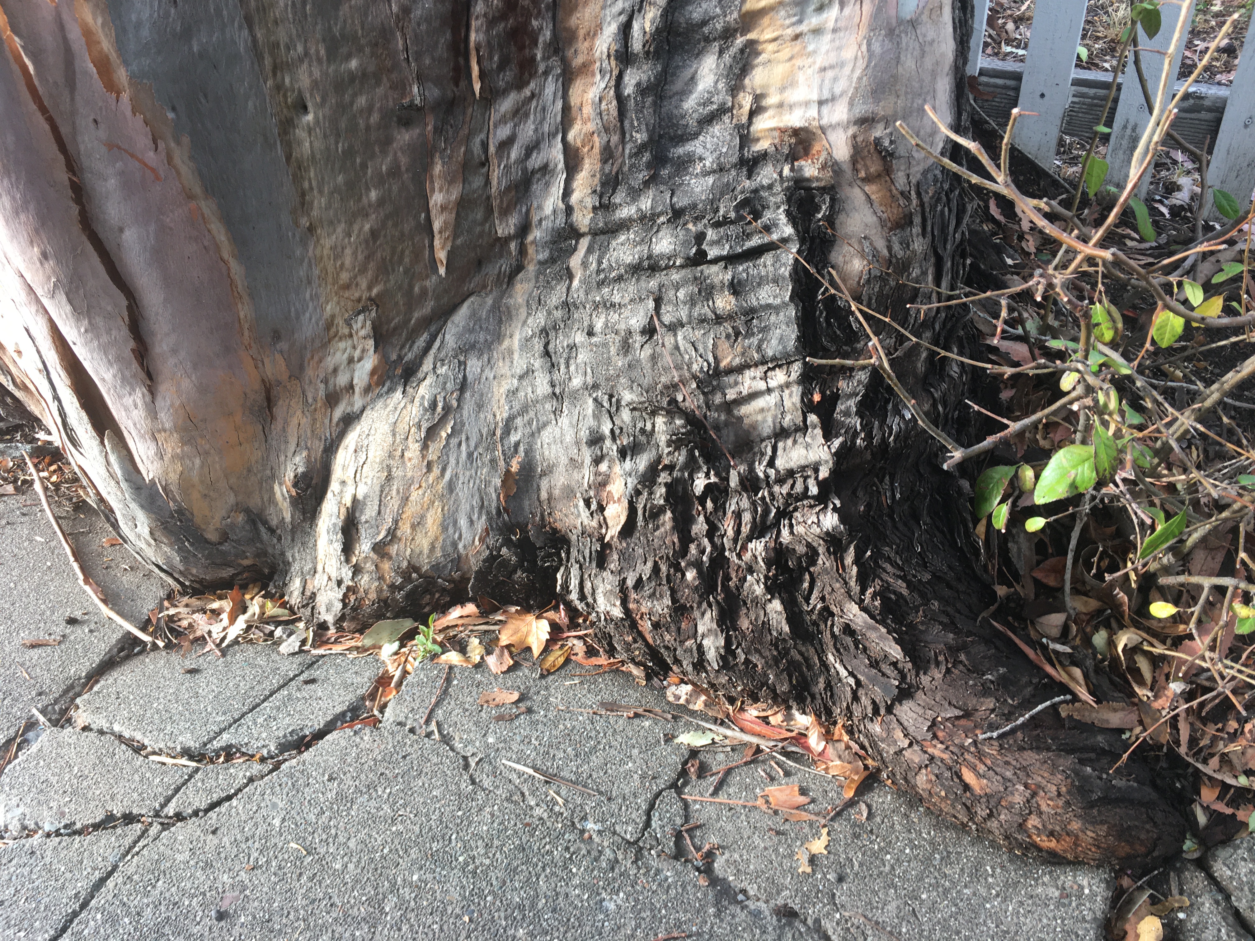
The green concrete curb continues to be submerged in tree.


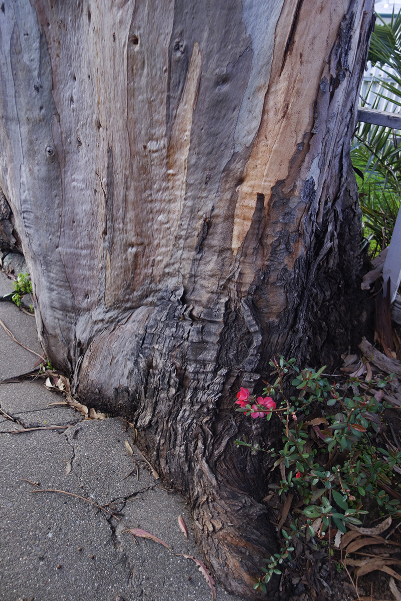
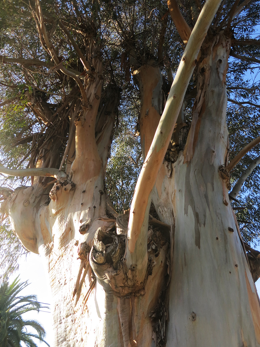
Some beauty shots.
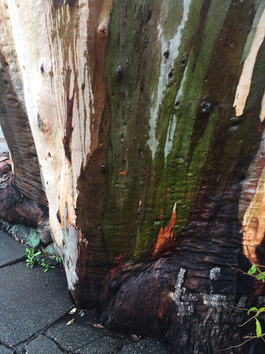
The wet bark is even more beautiful, and the fragrance intensifies.

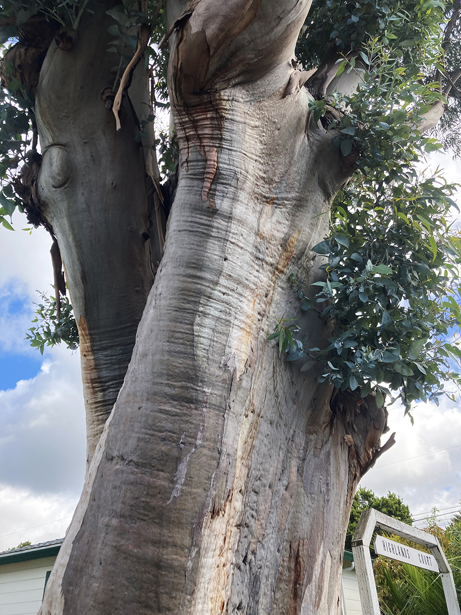
So limb-like, sensuous.


December 2025
Just a memory
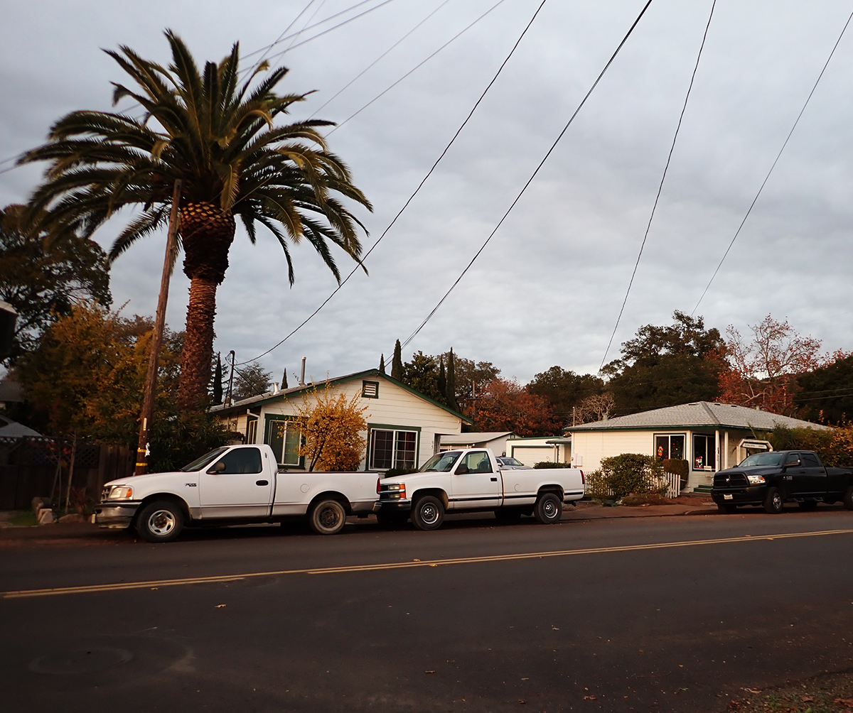
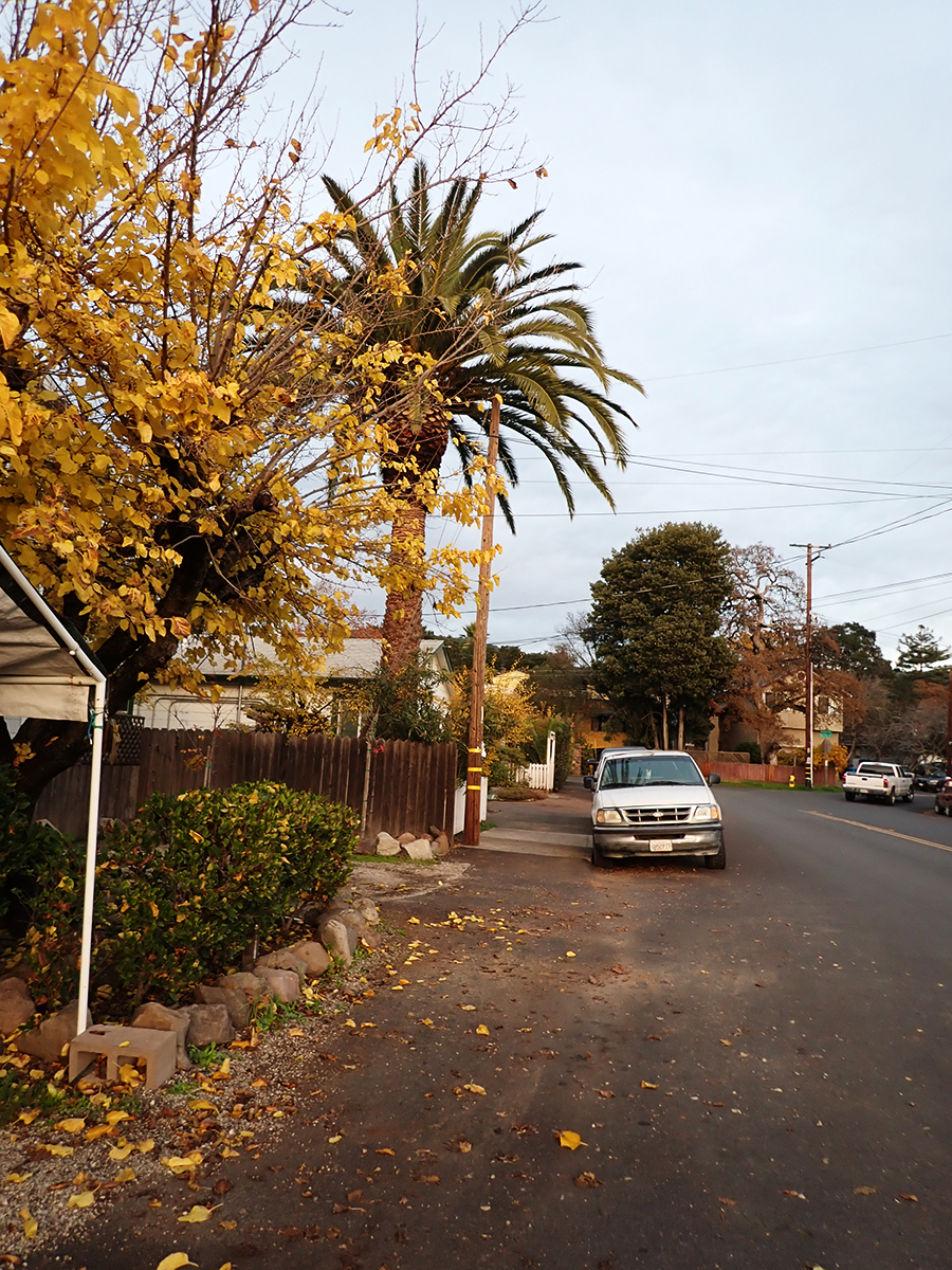
The palm stands alone

“Bark and Bite.” Painted photo collage circa 20″x30″. 2019. Michael Acker
For an highly interesting capsule view of the trees and their impact on the California environment, see this from UC Agriculture and Natural Resources: https://ucanr.edu/site/igors-urban-website/eucalyptus-california