I covered this in a previous post, but I thought it was worth a new look.
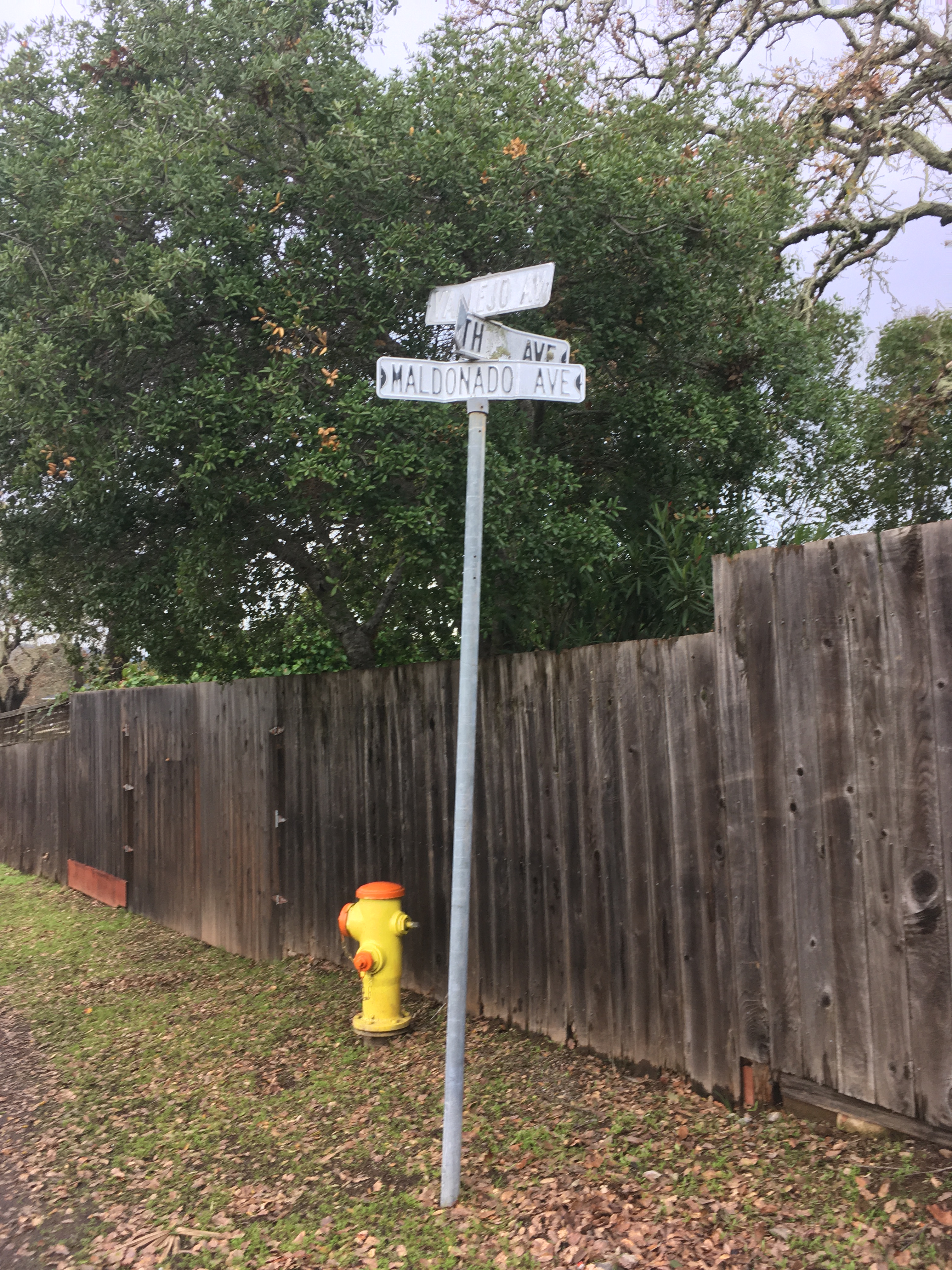
The intersection of Vallejo, Fourth, and Maldanodo showing the wonderfully distressed first generation sign, which has been replaced. If I had thougt faster, I could have gotten County Roads to give me the old sign. Alas, it was junked.
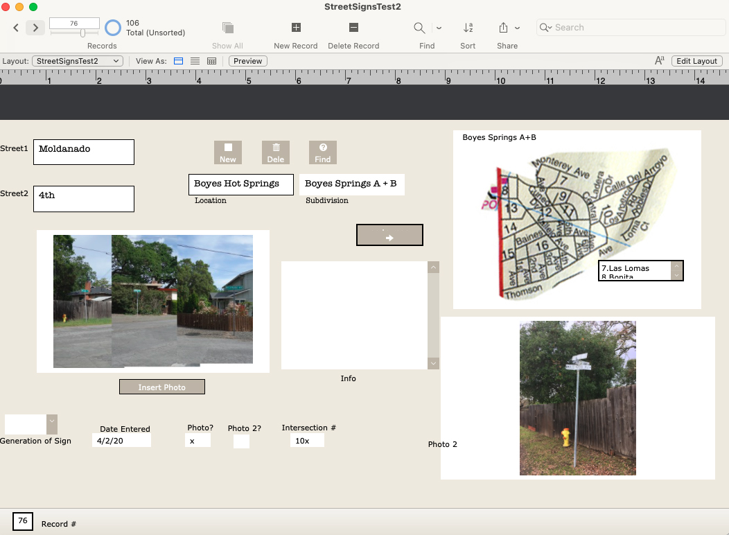
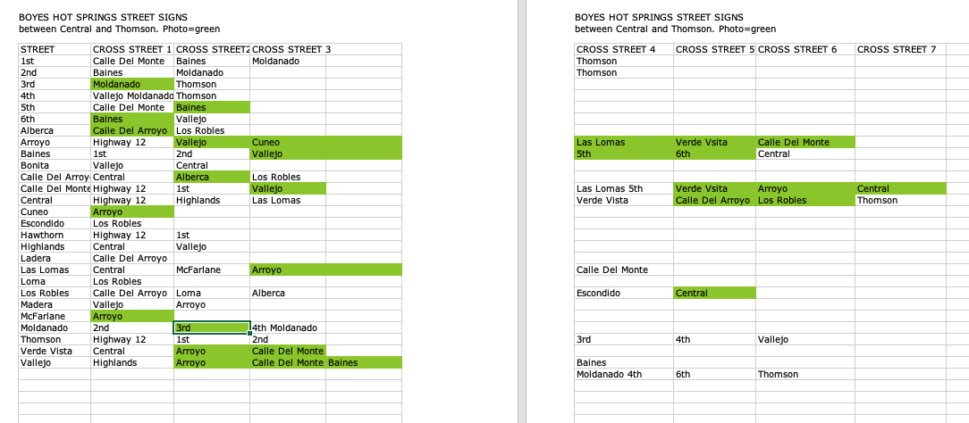
In 2020 I started photographing every every street sign in my immediate neighborhood with the intention of creating a database of intersections. Why? Obsessiveness. Completeness. The desire to record and collect (see website introduction.) Future use. It’s history. Because it might all burn down, and no one would remember what it looked like. And, I really like databases and consider them an art medium. I have also included photographs of the Neighborhood Phenomena in the vicinity of the intersections.
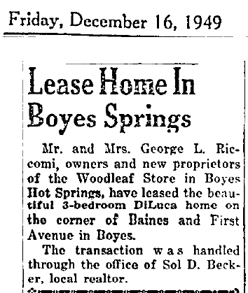
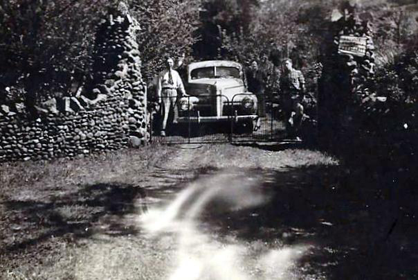
In addition to my photographs, I have included older (“historic”) ones, where they exist, newspaper clippings, and other ephemera. I know of no older photographs of intersections other than the ones at Highway 12, which were made primarily for commercial purposes.
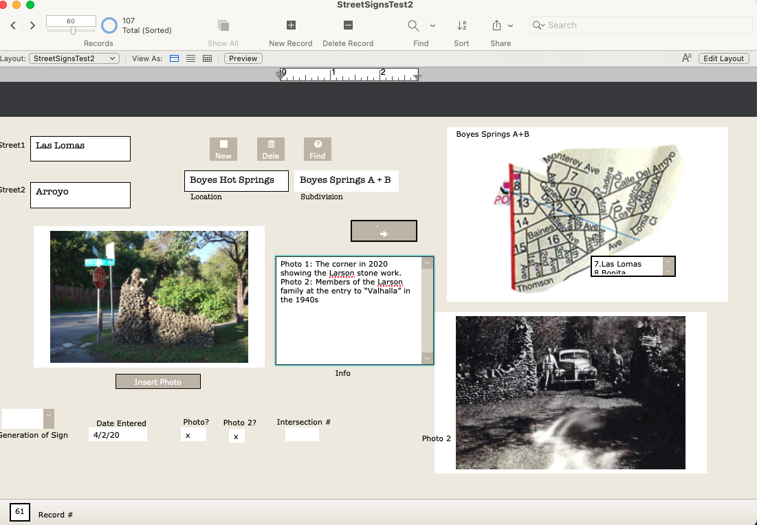
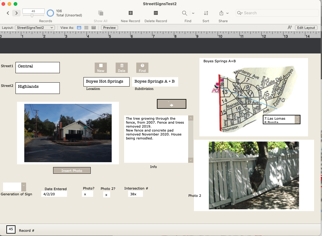
There are 107 records in the database (I probably missed some), one for each intersection in the Boyes Springs A and B subdivisions. The fields include “Generation of Sign” because three distinct styles of sign exist.Time permitting, the database would be expanded to include the surrounding subdivisions (link to post) Sonoma Highlands, Woodleaf Park, etc.Each record contains two photos or other images (sometimes newspaper clippings, other documents), and the map, which is still under development (ie, my Filemaker skills need improving.)
Of course, the only constant is change, which means hours of fun for me updating the database.
 springs museum