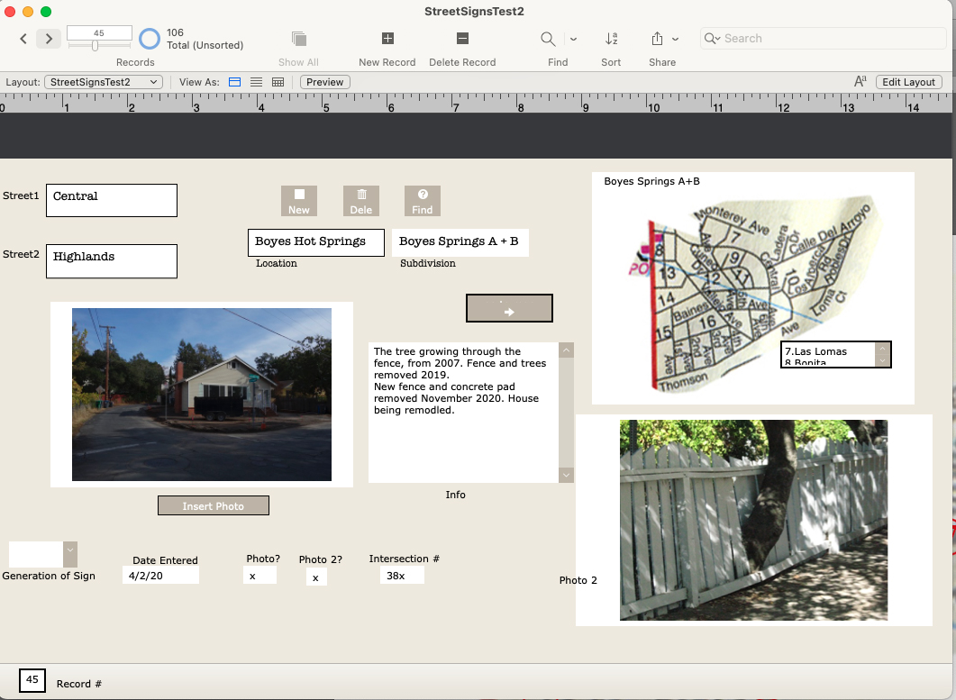
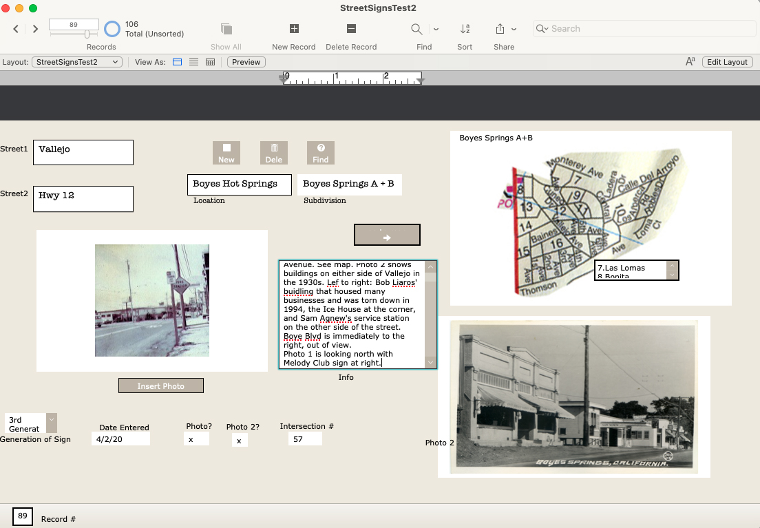
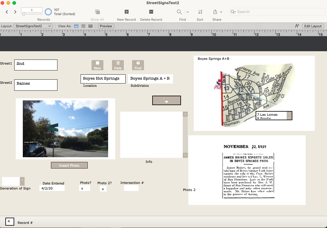
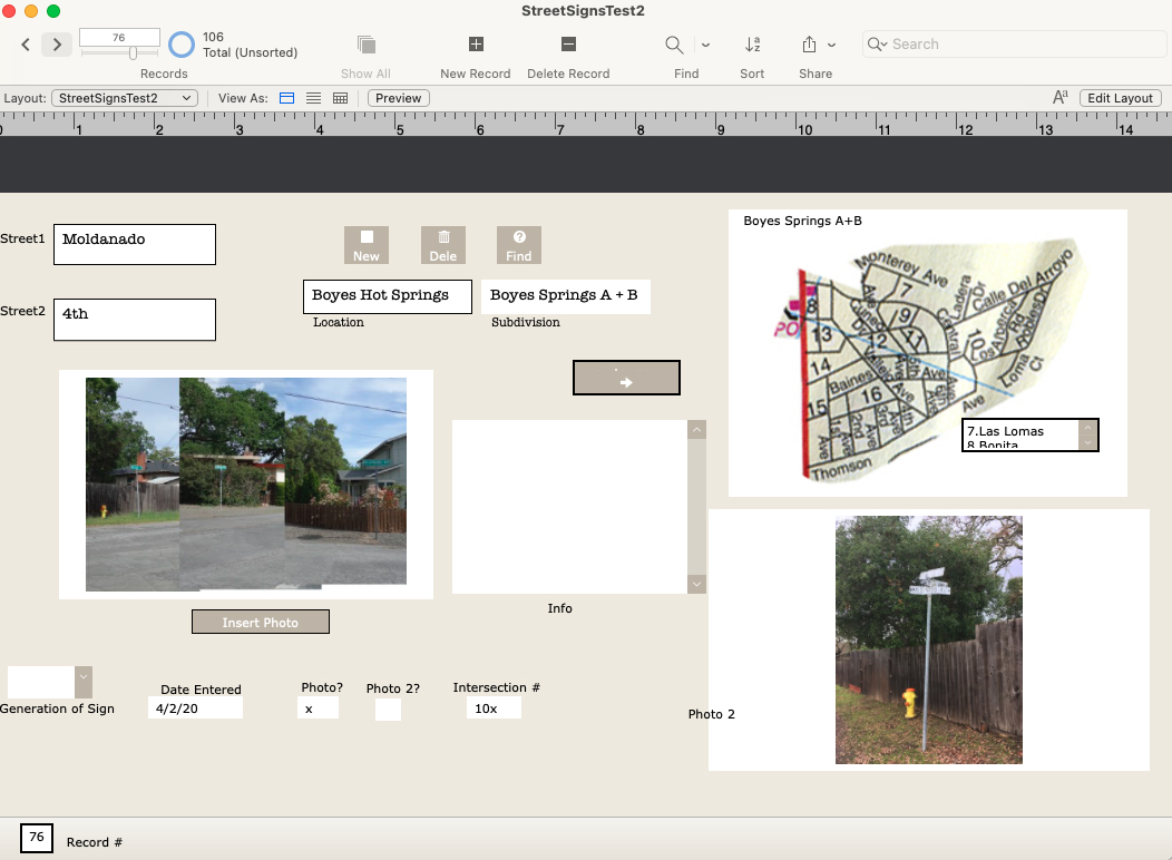
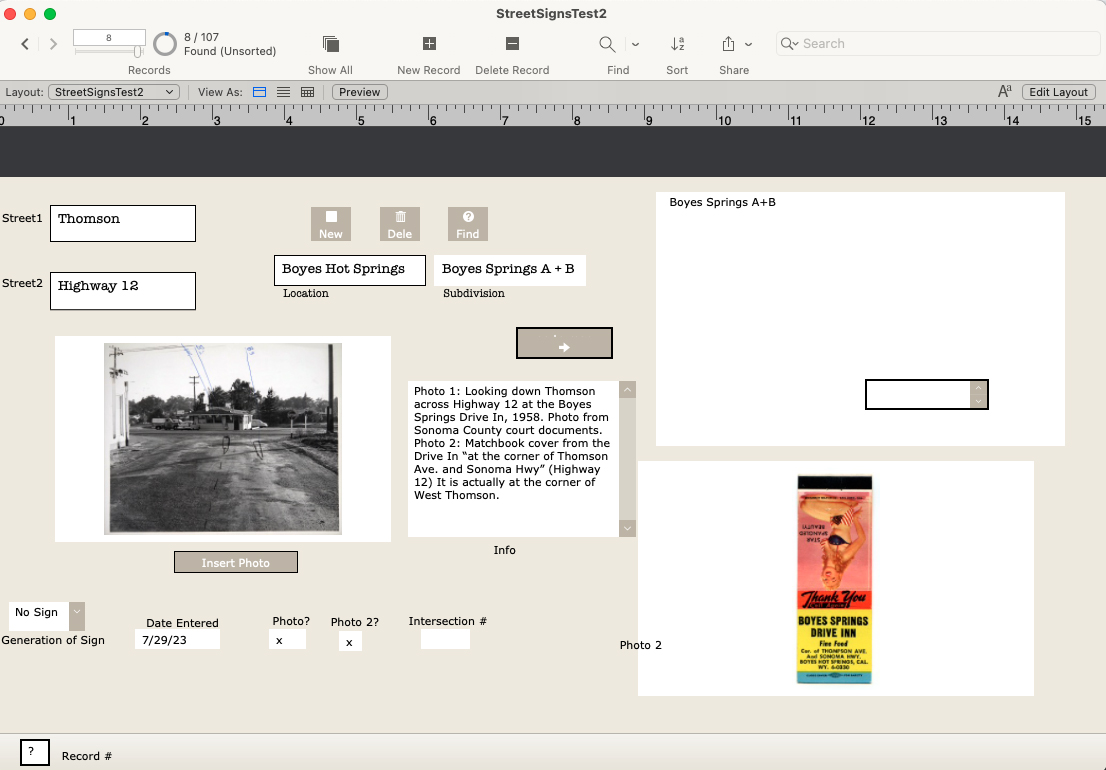
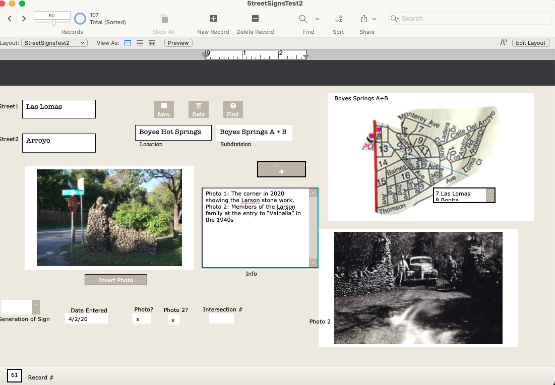
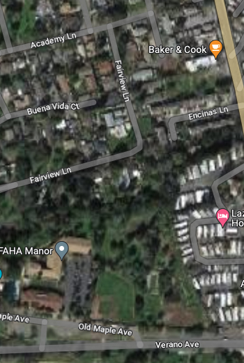
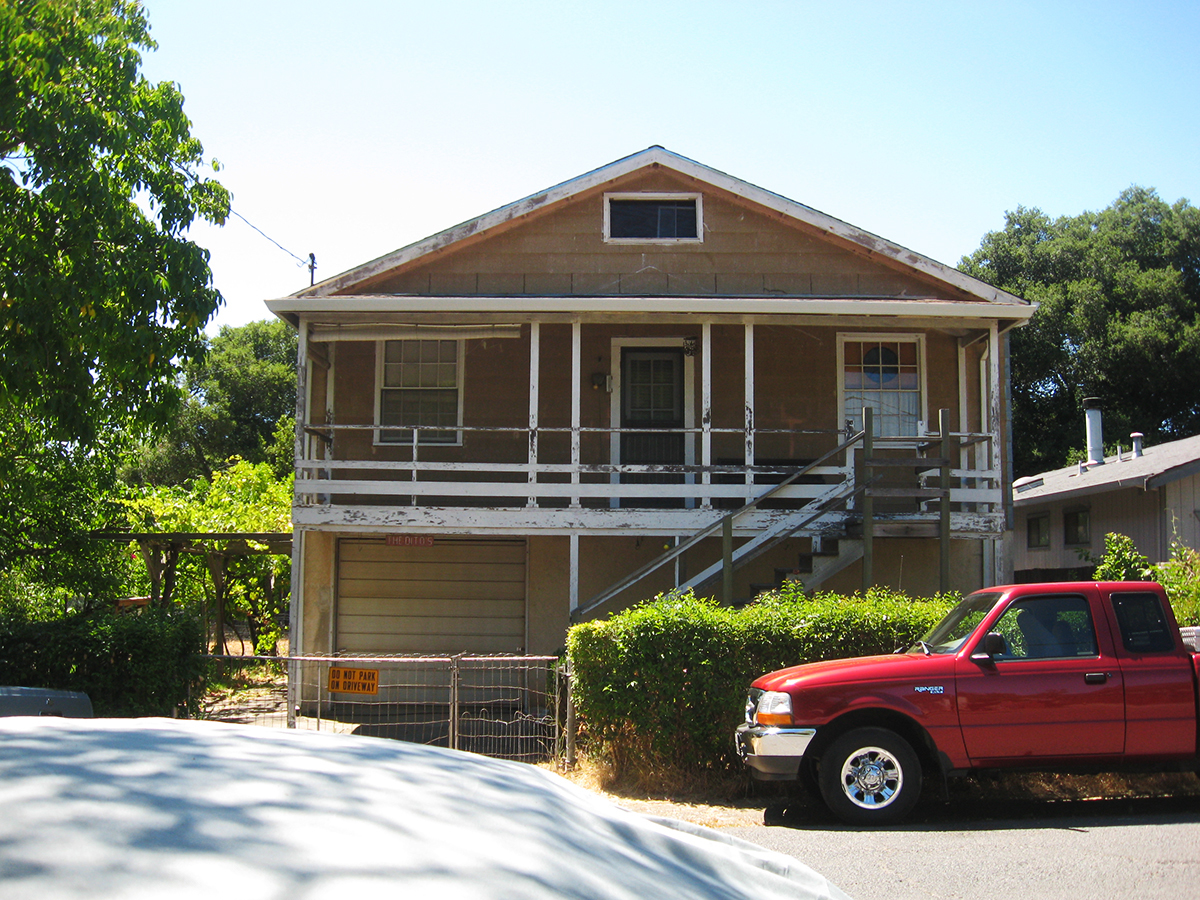
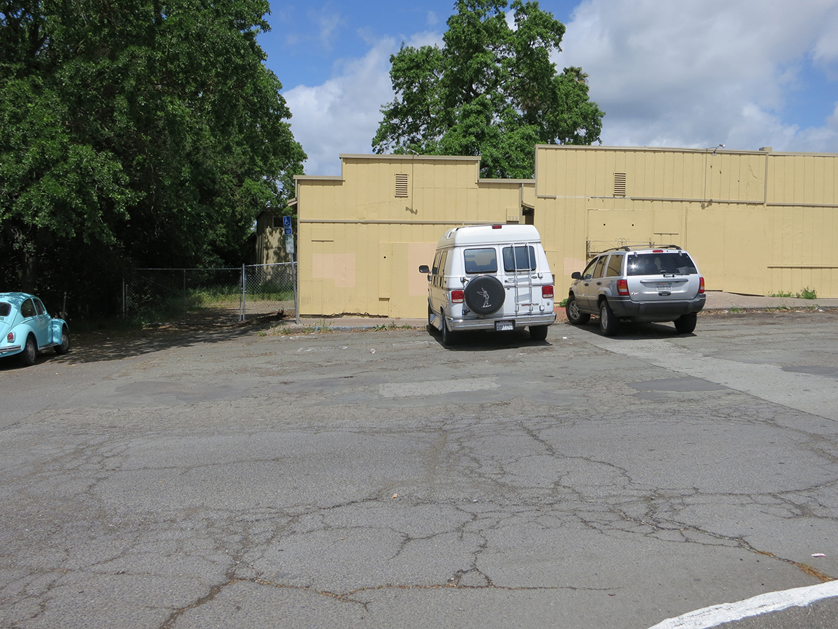
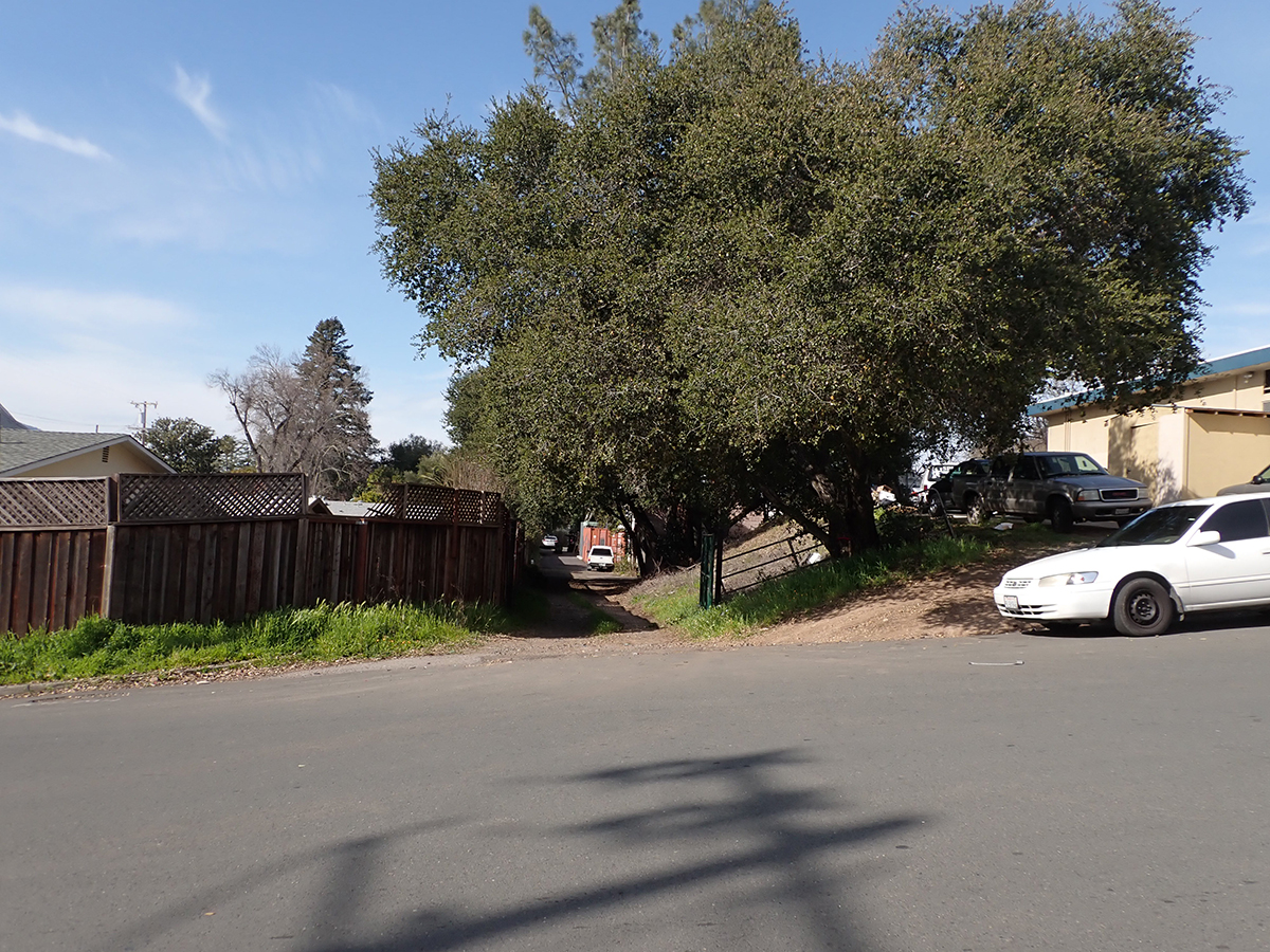
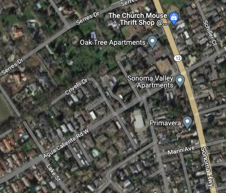
In 2020 I photographed every street sign in my immediate neighborhood with the intention of creating a database of intersections. Why? Obsessiveness. Completeness. The desire to record and collect (see website introduction.) Future use. It’s history. Because it might all burn down, and no one would remember what it looked like. (And, I really like databases and consider them an art medium.) I have also included photographs of the Neighborhood Phenomena in the vicinity of the intersections, such as, the tree growing through the fence above.
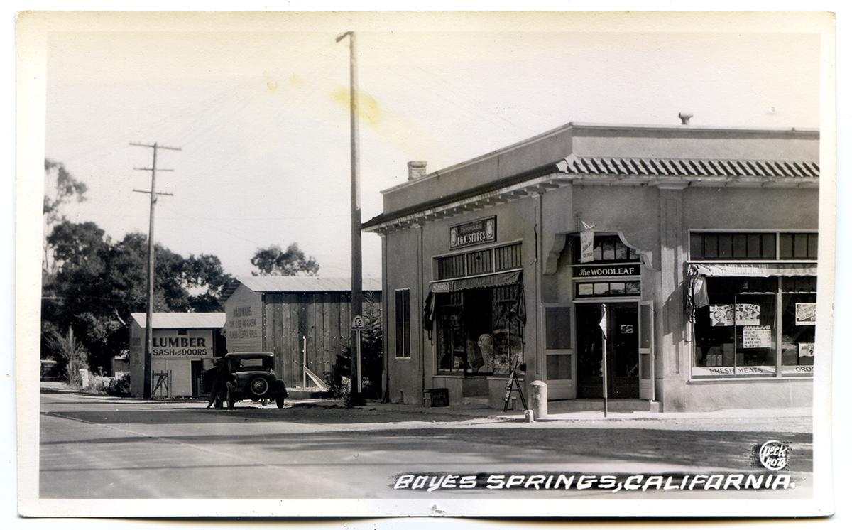
In addition to my photographs, I have included older (“historic”) ones, where they exist, newspaper clippings, and other ephemera. I know of no older photographs of intersections other than the ones at Highway 12, which were made primarily for commercial purposes.
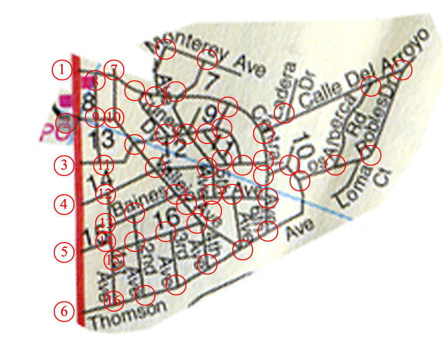
There are 107 records in the database (I probably missed some), one for each intersection in the Boyes Springs A and B subdivisions. The fields include “Generation of Sign” because three distinct styles of sign exist. Time permitting, the database would be expanded to include the surrounding subdivisions (more here) Sonoma Highlands, Woodleaf Park, etc.
The corner of Maldonado, 4th, and Vallejo had three of the oldest style signs on one pole until recently. I realize I misspelled Maldonado in the db.
The Thomson and Highway 12 entry features a photo from 1958 and a matchbook cover.
Las Lomas and Arroyo shows the stonework built by the Larson family, in 2020 and the 1940s, with family members.
The map is still under development (ie, my Filemaker skills need improving.)
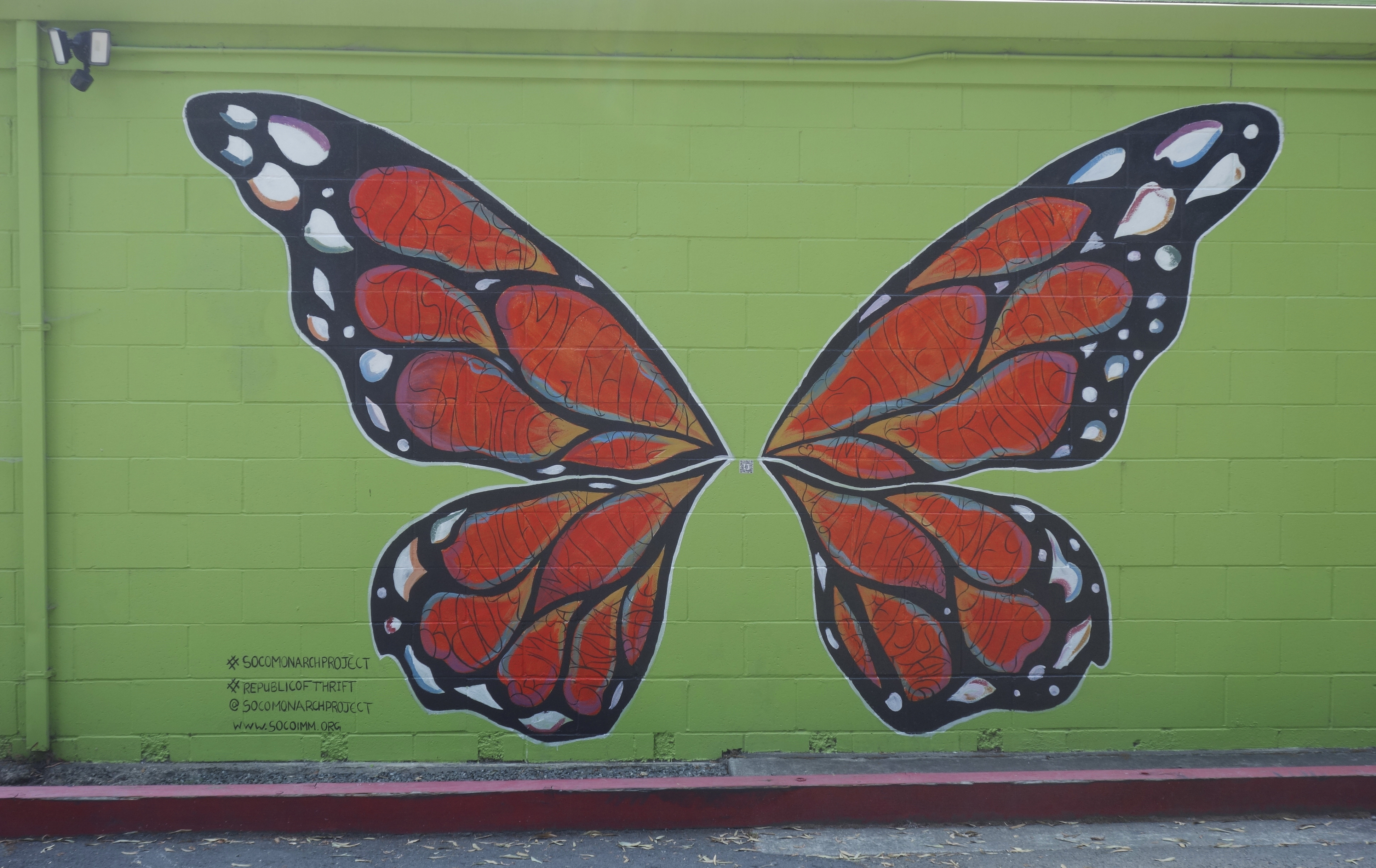
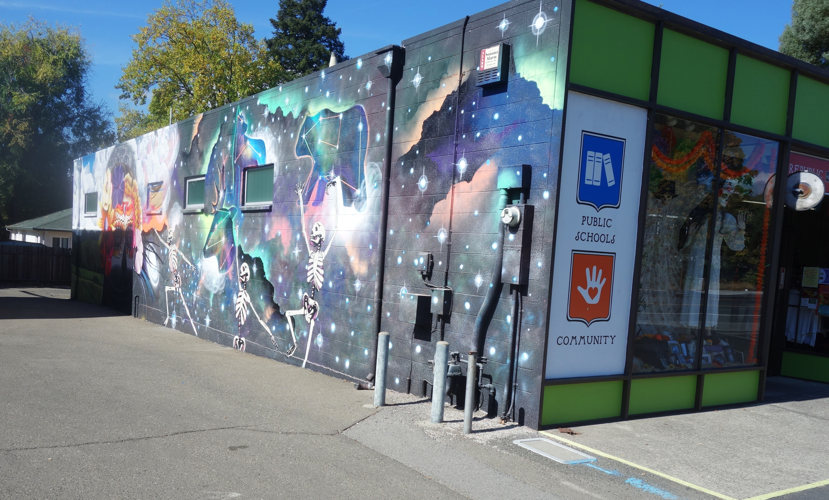
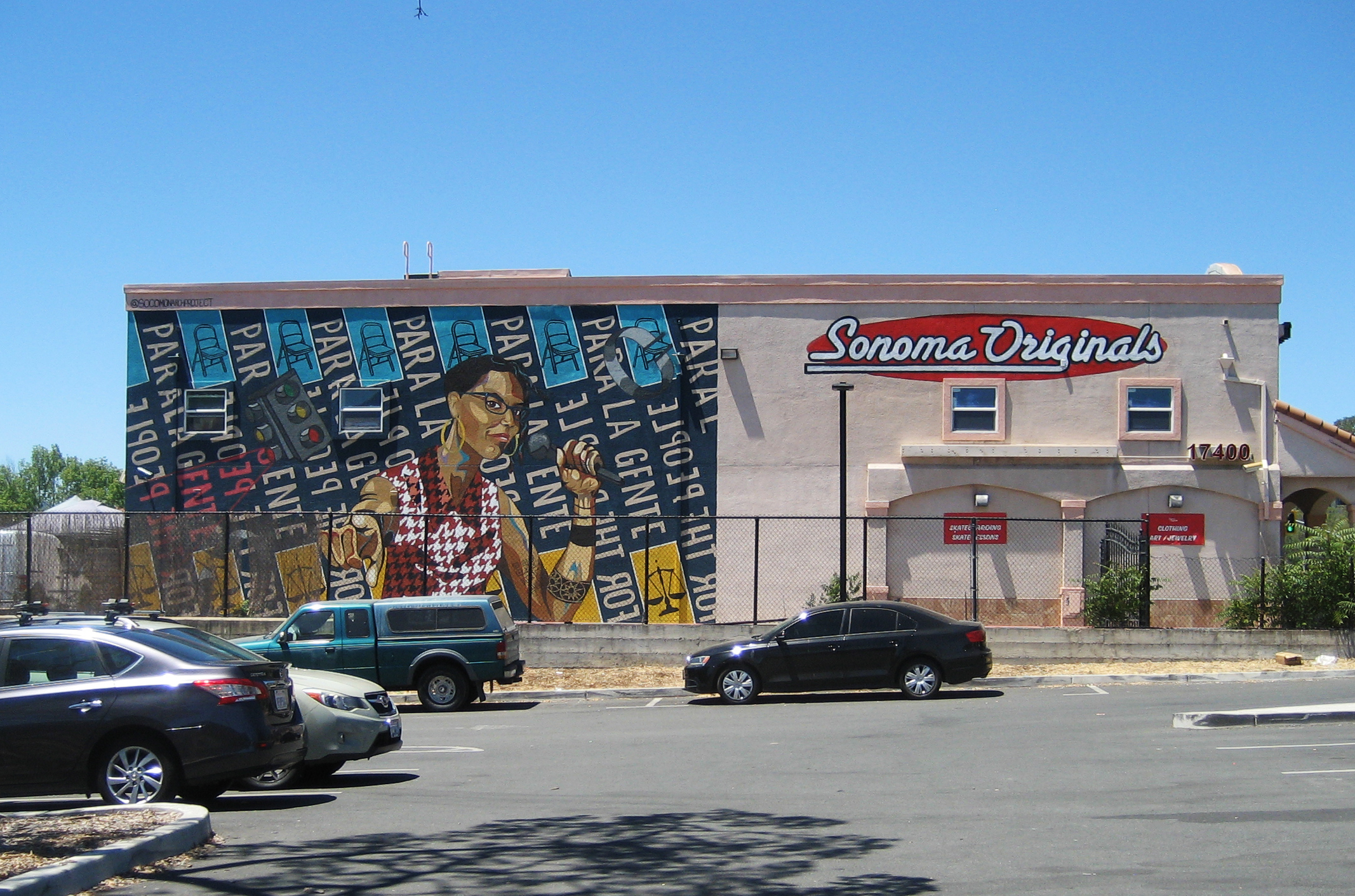
Public art grows in fits and starts hereabouts but we are starting to build up a nice stock of murals. Here we look at four of them.
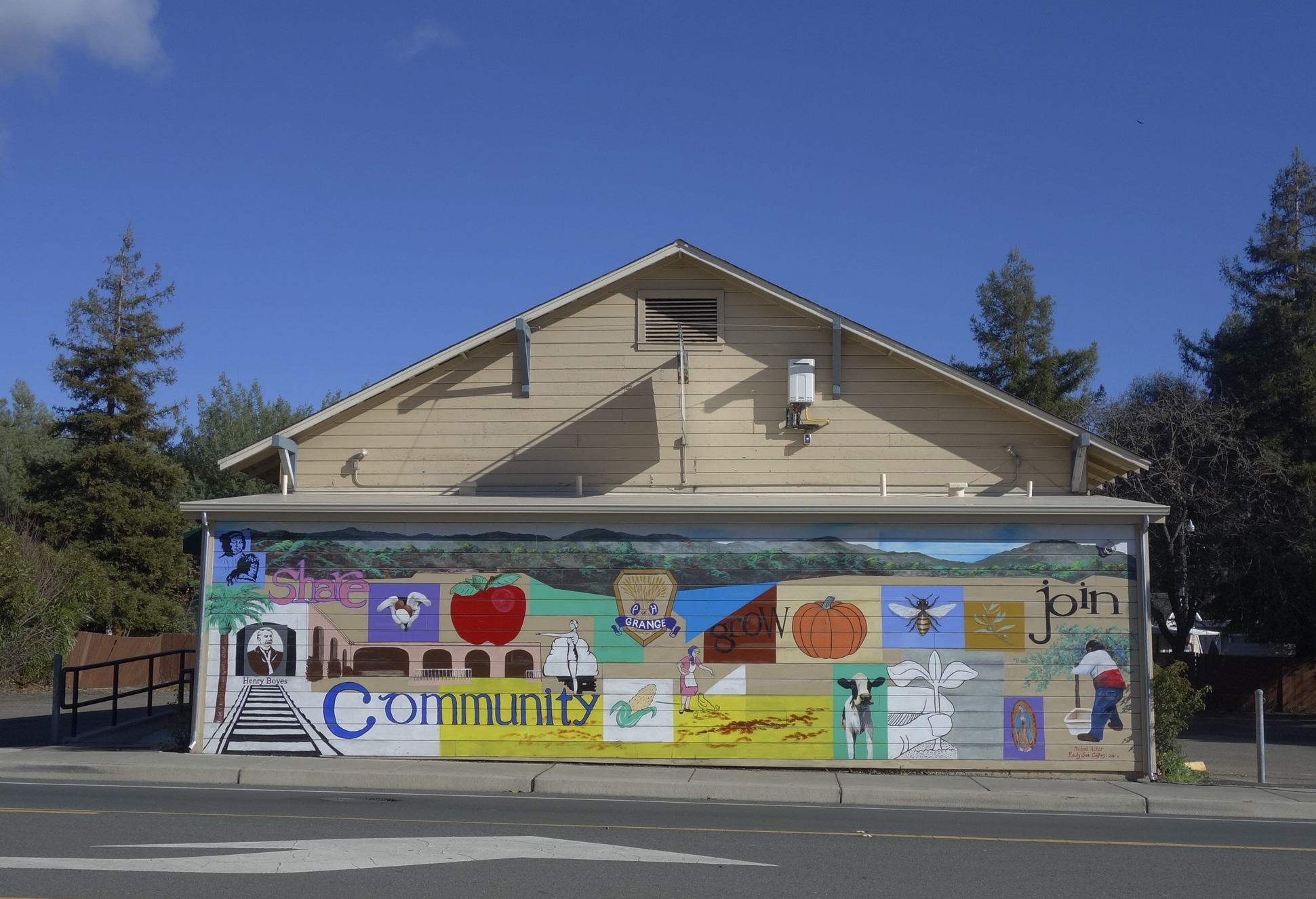
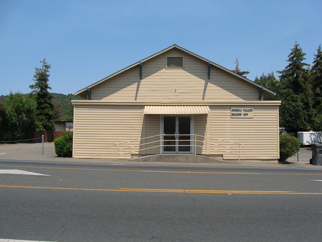
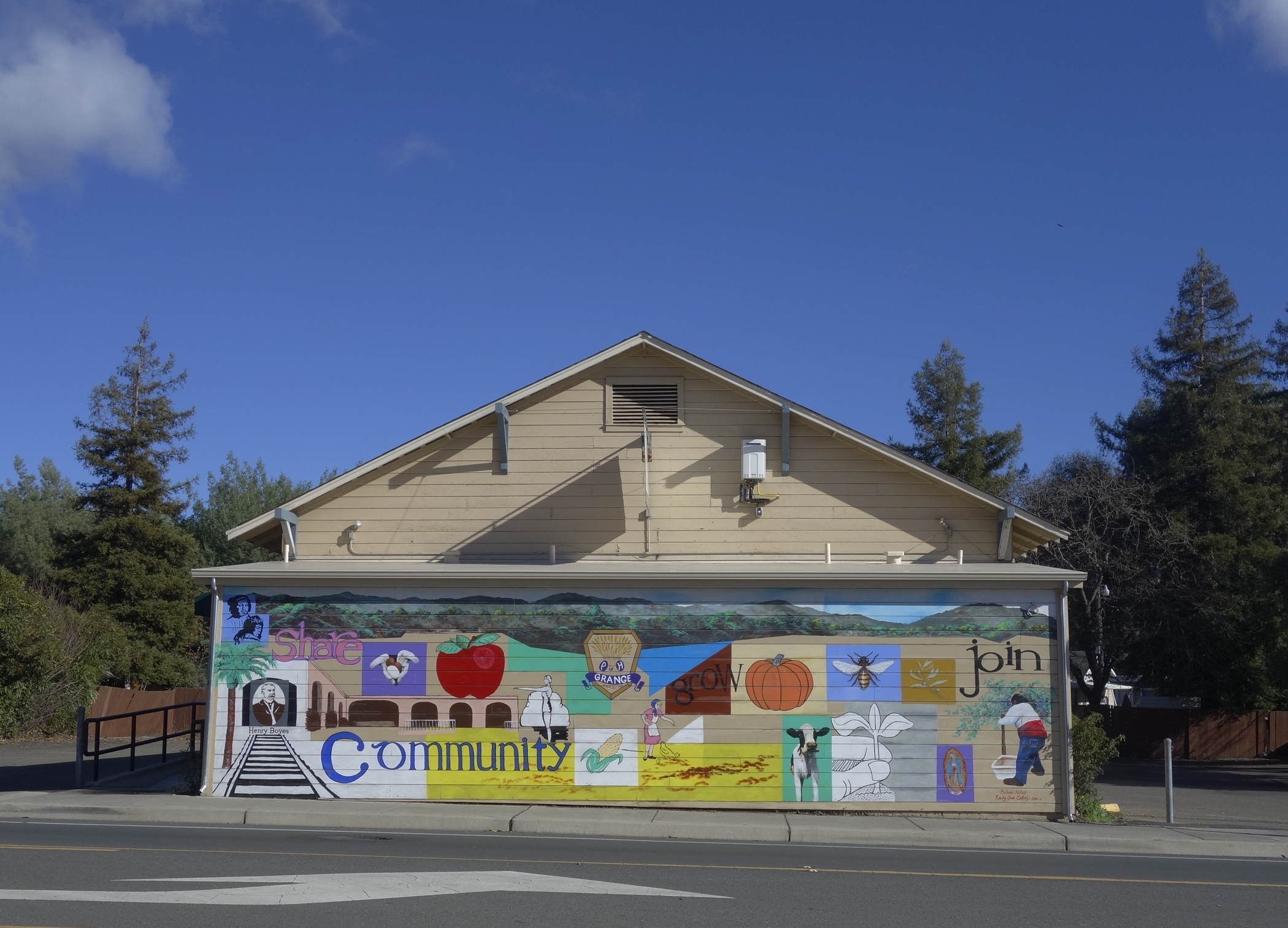
The mural on the front of the Sonoma Valley Grange building, located at 18627 Sonoma Highway. The Grange has owned the building, which was probably originally a dance hall, since 1934. See (https://springsmuseum.org/2022/06/28/the-sonoma-valley-grange-traditionchange-and-renewal/) for more about the Grange. Through the Redevelopment Façade Improvement project, the Grange got funding for the mural in 2010. It was designed by Michael Acker and painted in collaboration with Randy Sue Collins. It depicts a bit of Boyes Hot Springs and Grange history. It being on the west facing wall, it takes a terrific beating from the sun, and has been restored twice.
The Republic of Thrift building at 17496 Sonoma Highway has two murals sponsored by the Monarch Project (https://www.socoimm.org/) along with others. On the west facing wall is the giant Monarch butterfly, completed in June 2020. According to the Index Tribune, “Artist Rima Makaryan, just 17 years old, painted a Monarch butterfly as part of “The Monarch Project,” a Sonoma County nonprofit organization working to tell the stories of immigrants and empower the community.” “We are working to have a conversation about immigration through art,” said Makaryan. “Oftentimes immigrants are labeled aliens or talked about negatively. The goal of the Monarch Project is to find beauty in the subject.” The mural, painted on the west-facing wall of the thrift store, features a Monarch butterfly filled with words describing the immigrant experience, such as resilience, hope, amor, sacrifice and fear. Makaryan noted, “The words are meant to embody the journey and diversity of all migrants. It’s all about the beauty of the topic, good and bad.”
On the east wall a fantastical spray-paint mural by the artist Chor Boogie (https://chorboogie.com/), along with a crew of high school students was painted in 2018. the Led by Sonoma Valley Museum of Art, community partners were Artescape and La luz Center. Co-sponsors were the California Arts Council, the NEA, and the Bank of Marin.
The building at 17400 Sonoma Highway displays yet another Monarch Project mural. Completed in June 2021, it features an image of Dmitra Smith, “…a powerful force fighting against racism in Sonoma County,” according to their website. “Ms. Smith is the former Chair of the Sonoma County Commission on Human Rights, and was the program manager for the Junior Commission, having mentored over 100 Sonoma County students between 2013- 2020. Smith is a co-founder of the essential workers’ mutual aid collective Food for All – Comida para Todos.”
At the time the mural was painted, the building was the home of Sonoma Originals skate shop. Sadly, it is now empty.
We actually have a lot of art in the Springs, some of it “official,” as the above are, some harder to find, personal expressions, often ephemeral, but worth noting, as we will do in future posts
Index Tribune courtesy of the Sonoma Valley Historical Society
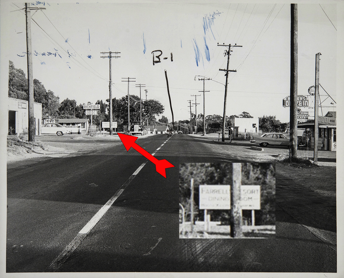
Farrell’s Resort existed on land near the corner of Siesta Way and Sonoma Highway, between the years 1945 and 1958. A county court photograph from that year shows the resorts sign on the highway. An Index Tribune story in 1959 about a barn fire on the property mentioned “the pioneer Ferrell’s Resort property,” which implies, to me, it didn’t exist in 1959, as the barn was being burned by the fire department for training.
This photo is an exhibit from a lawsuit involving a traffic accident in 1958, courtesy of the Sonoma County Library. Difficult to see, at left, below the Richfield sign, half obscured by a power pole (!) is a sign advertising Farrell’s Resort. Thomson Ave (not East Thomson!) is at left. Across the highway is Baker’s Drive-In, current site of the Fruit Basket.
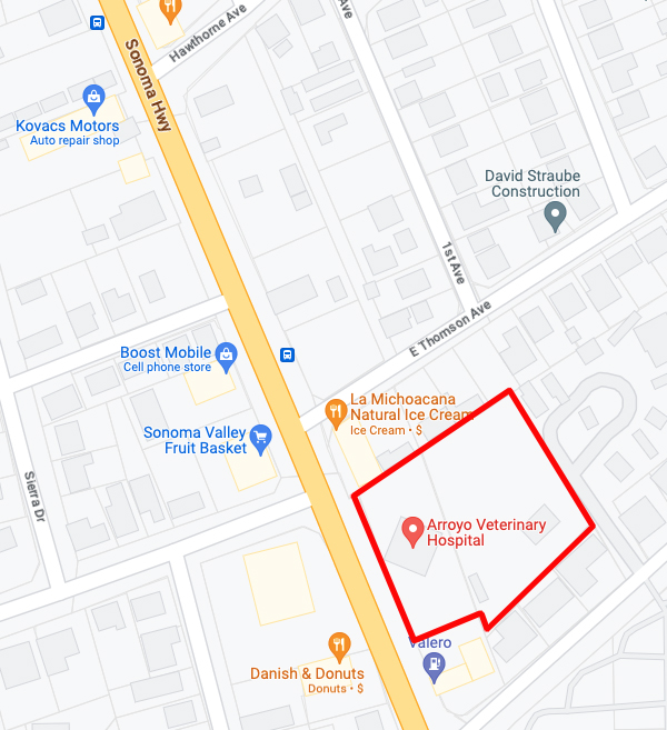
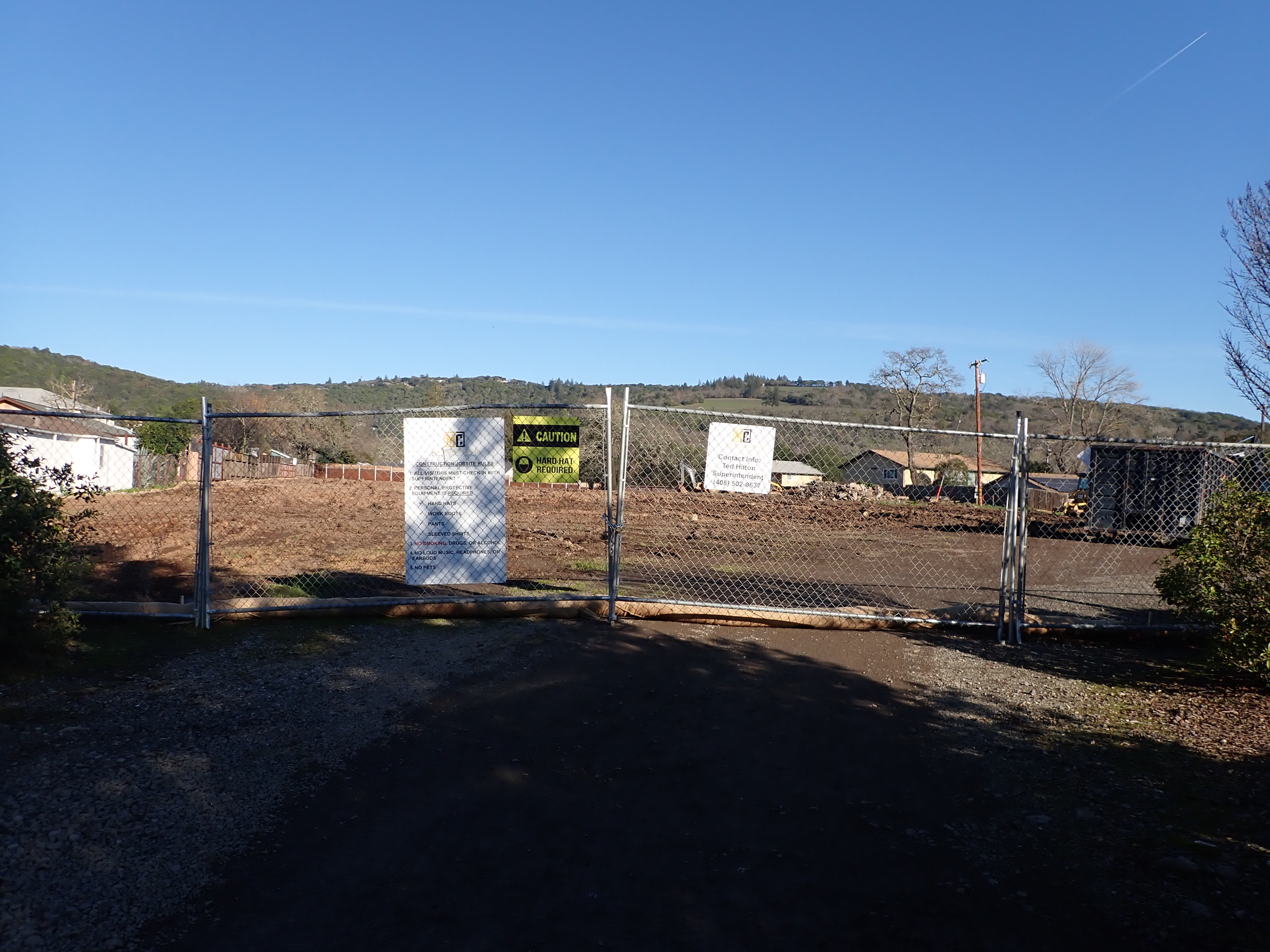
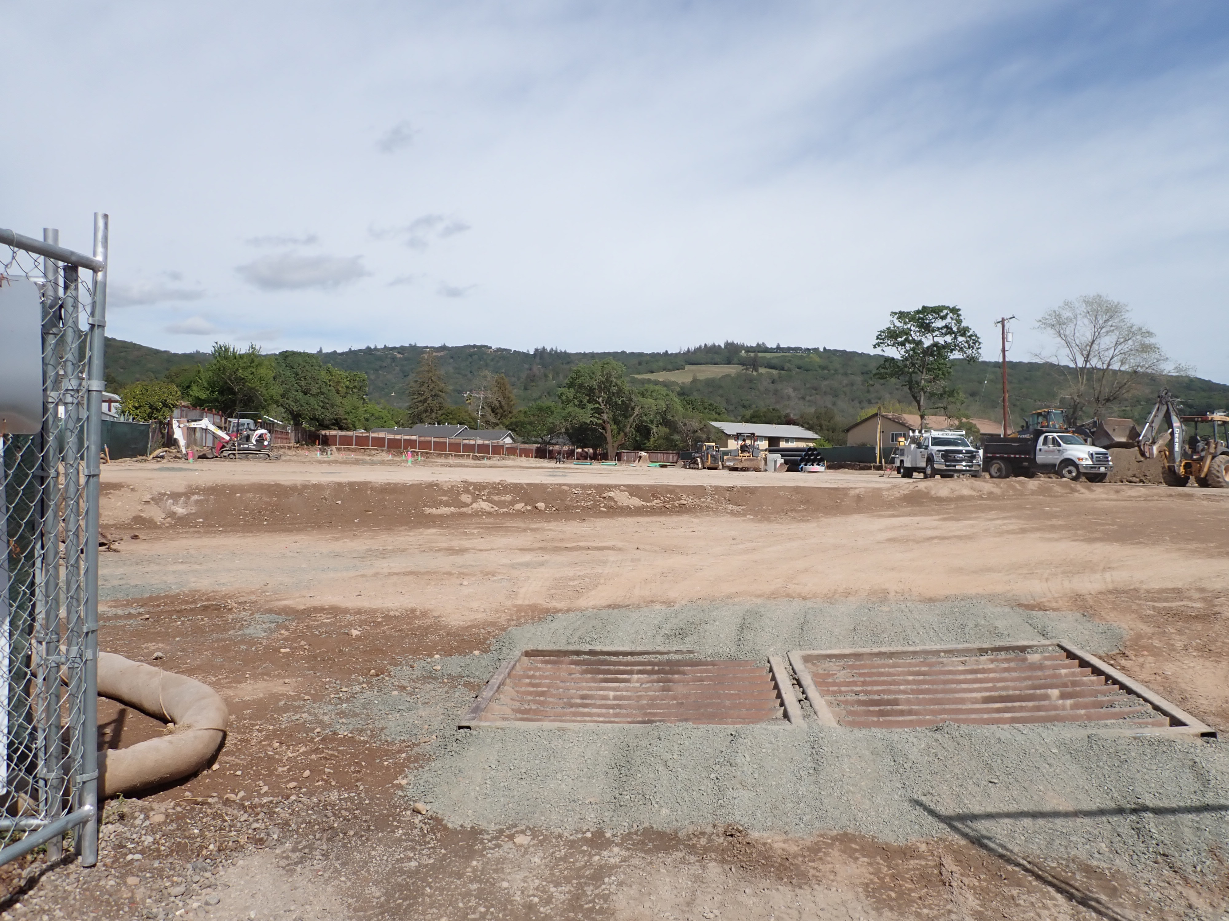
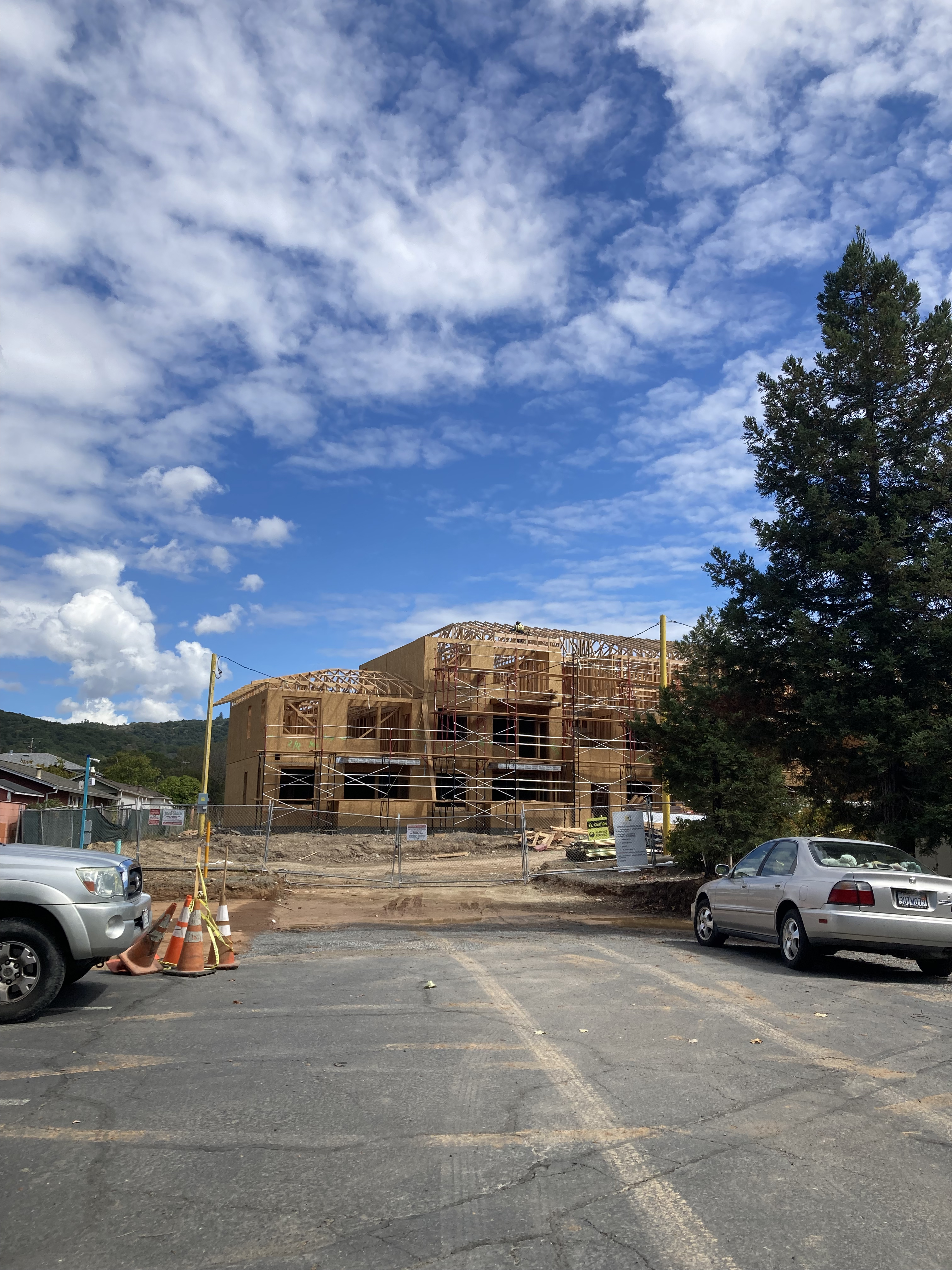
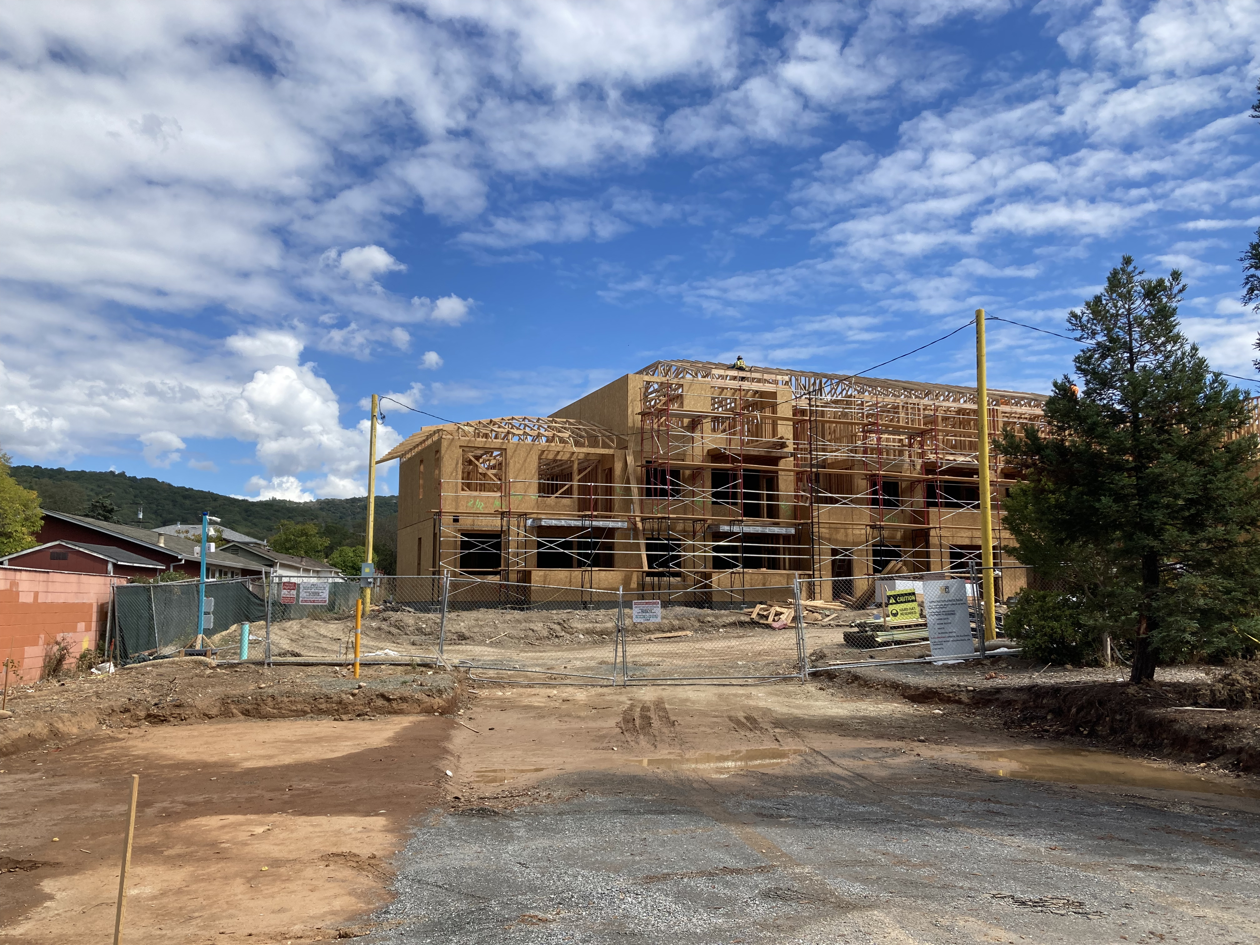
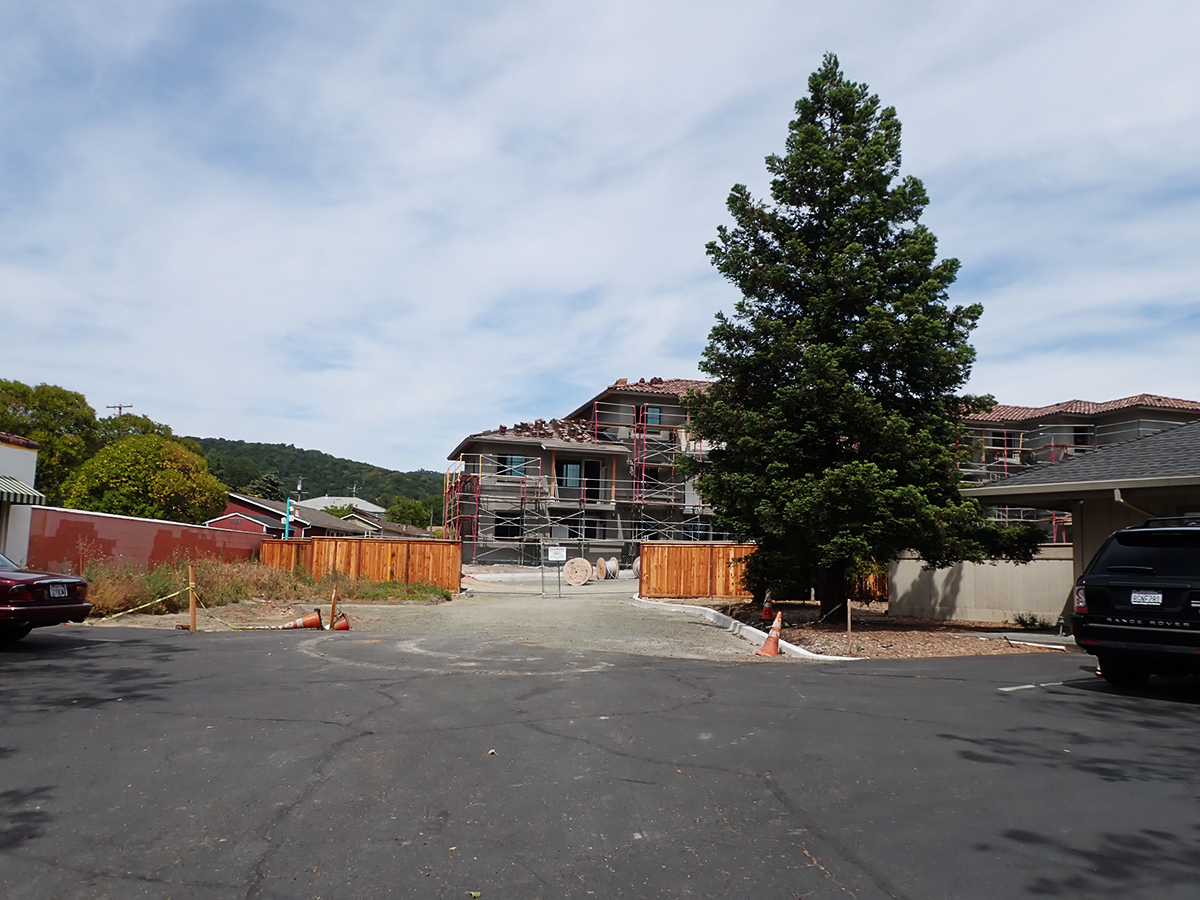
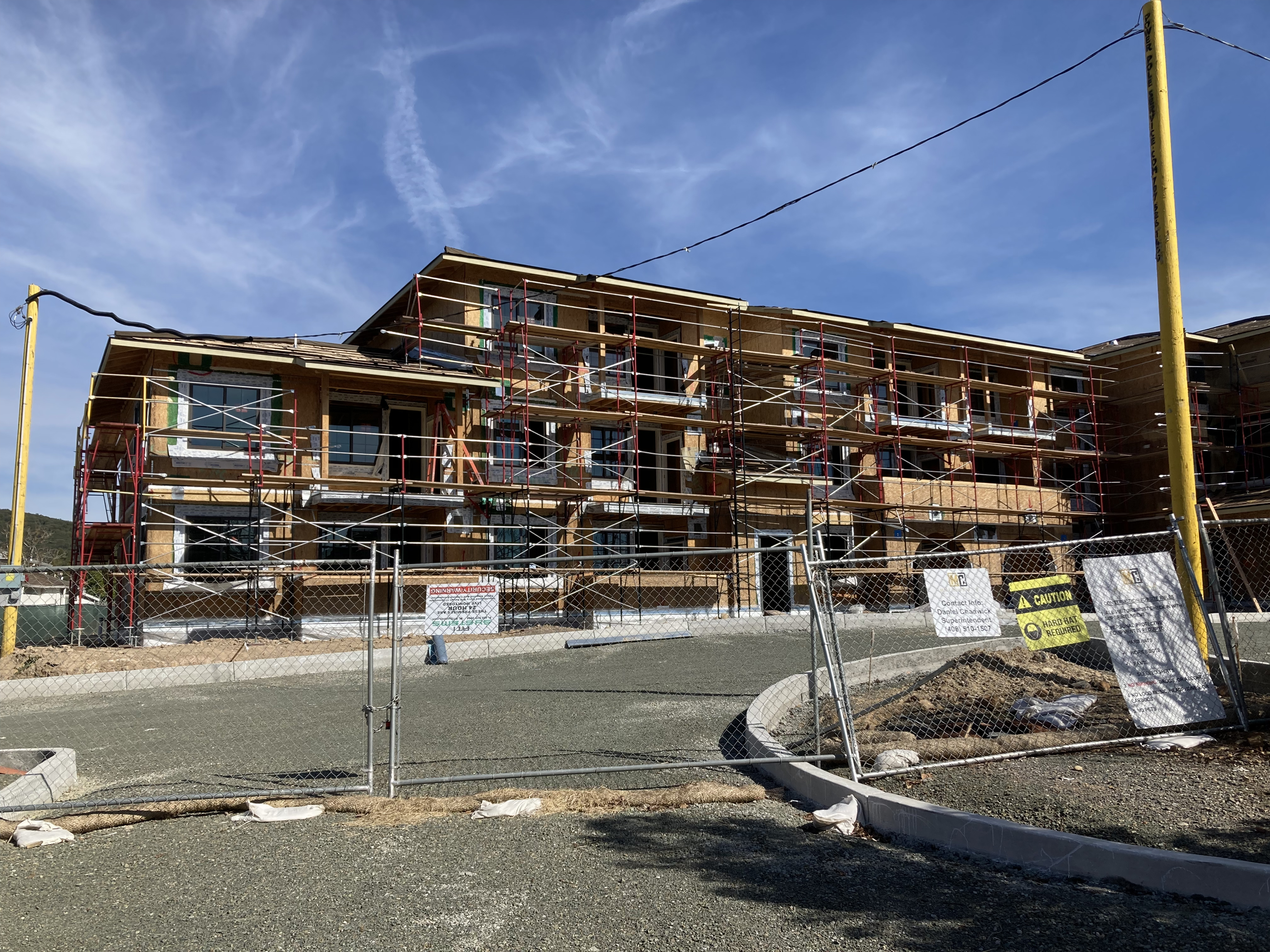
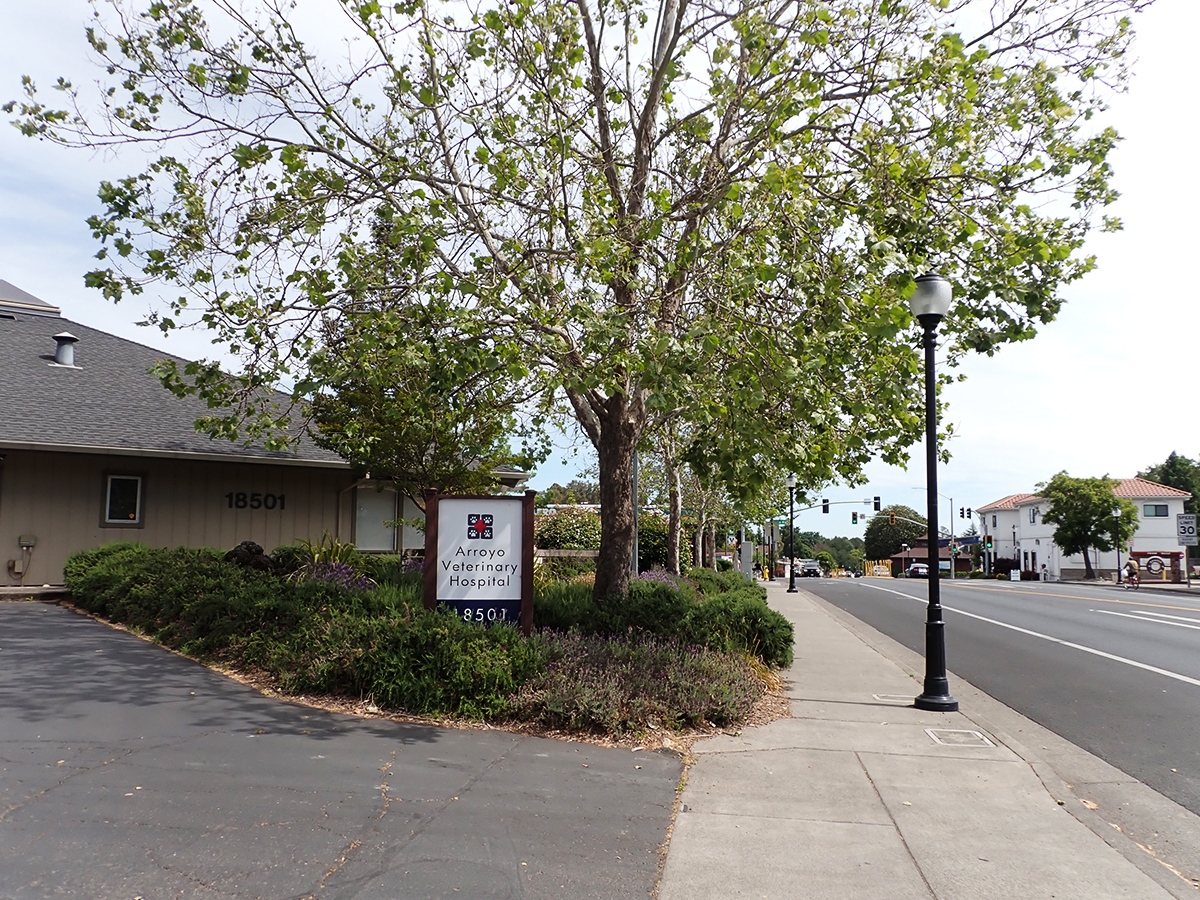
The property behind the Arroyo Vet building continued as a trailer park until 2020 when affordable developer Milestone Housing (https://milestonehousing.com/projects/) bought the land. In 2022 they started construction on a 92 unit apartment complex intended for senior households that have incomes in the 30 to 60 per cent of area median income. In May of 2023 construction is ongoing. See photos below.
Apartment construction, February 2022 through May 2023
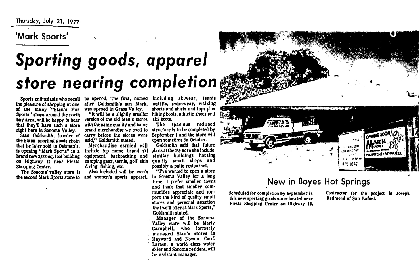
In 1977, on part of the Farrell’s site facing the highway, Stan Goldsmith built a commercial building to house his Mark’s Sporting Goods. Goldsmith owned the whole property and told the Index Tribune that “…future plans at the 1.5 acre site include similar buildings housing quality small shops and possibly a patio restaurant.”
Goldsmith had founded a successful chain of sporting goods stores, located throughout California, which he sold before moving to Boyes Hot Springs. According to some of his ad copy, “In 1954 Stan Goldsmith revolutionized the retail sporting goods business by building the largest sport store in northern California (10,000 sq ft.) and becoming the first to combine active sportswear with sports equipment…Stan Goldsmith founded the Marin Skin Divers Club, the Northwoods Bowmen’s Club and designed the first nylon covered sleeping bag. Stan’s and the first air compressor to fill dive tanks in Northern California.” Index Tribune advertisement, 1979.
Mark’s Sporting Goods in Boyes Hot Springs, named after Stan’s son, opened in 1977. It was the second Mark’s. the first one was in Grass Valley, in an identical building.
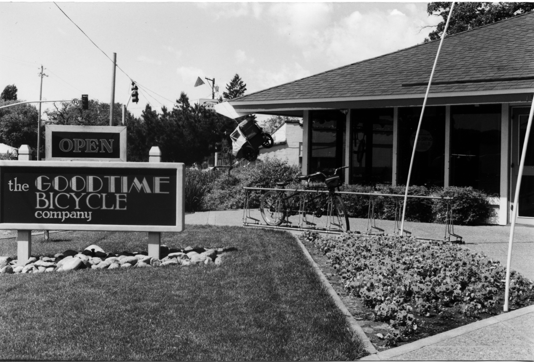
Tragically, Stan was killed in the crash of his private plane in 1982. His widow sold and the store continued operating until 1990, when Doug McKesson bought the building, but not the entire parcel, to house his Goodtime Bicycle Company. McKesson sold to Dr. Rhonda Stallings and Rich Lee in 2000. A major remodel was necessary to convert the space. The new Arroyo veterinary Hospital opened in 2001.
1990s
2023
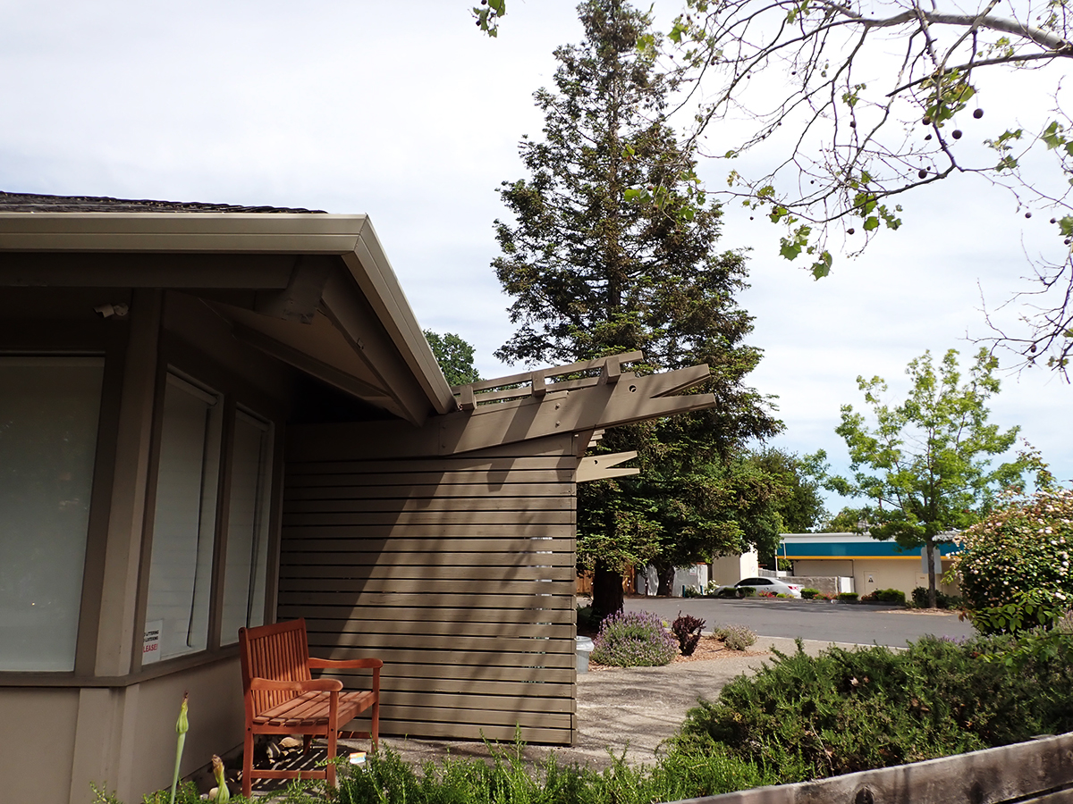
Appropriate, whimsical rafter-tails were added during the conversion to an animal hospital.
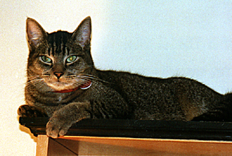
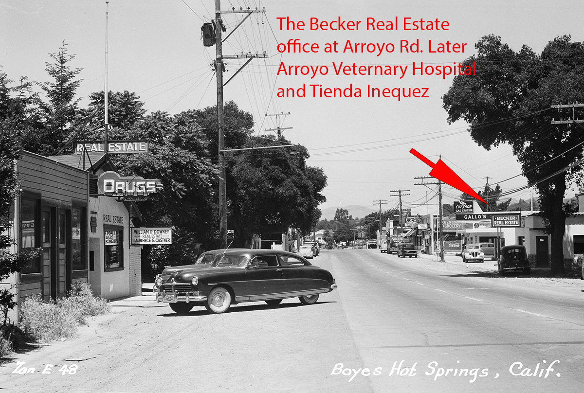
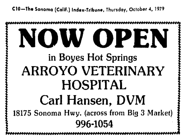
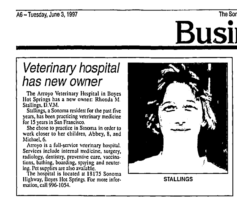
Digression the First: The original Arroyo Vet Hospital was started by Dr. Hansen 1979, in a building on Sonoma Highway at Arroyo Rd, which was probably built in the 1920s, and had housed various businesses including Becker’s Real Estate Agency. Dr. Rhonda Stallings took over from Dr. Hansen in 1997, the same year your correspondent moved into a house just a block up Arroyo Road. Imagine our sense of security knowing we could WALK our sick cat to the vet’s office. And thank you to Rhonda for saving Ralph’s life.
Ralph
1950s
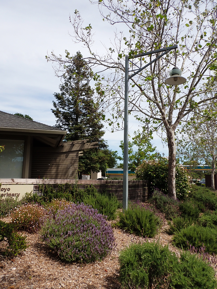
Digression the Second: The photo below shows a streetlight proposed for the Redevelopment sidewalk project. This was offered by landscape architect Ron Wellander and installed in 1997. The design was not used. It stands today, in 2023, lonely, unlit.
The first hearings for the sidewalk project were held in 1984. The initial pilot project was completed in 2002. The entire project, two miles of sidewalks and streetlights, was finished (except for one very irritating and dangerous gap) in 2016. Thirty. two. years.
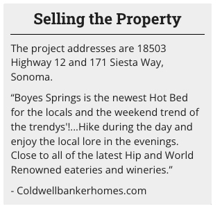
I can’t resist sharing this text from a Coldwell Banker website. The addresses represent the apartment site.
Please stay tuned to the Springs Museum. We aim to bring you all the best in local lore!
Thanks to Rich Lee and Doug McKesson for their memories
Index Tribune courtesy of the Sonoma Valley Historical Society
Zan postcard courtesy of Stanford University Library, Special Collections
UPDATE, September 17, 2023
According to Mrs. Mary Farrell’s obituary in the Index Tribune in January of 1956, her resort was “part of the former Appleton ranch.” Before Appleton, a certain ”Mrs. Loud came to California in 1864…Her husband was Alfred C. Loud, who settled on what was afterward the Appleton ranch.” Index Tribune of Jan 14,1922 obit of Mrs. Loud.
In the 1975 obituary for Appleton’s daughter, the renowned Carrie Burlingame, Horatio Appleton established his ranch “in the Springs area in 1865.” He was “a pioneer vineyardist and a descendant of the Greenleaf and Adams families of New England.” He was instrumental in identifying the Phylloxera louse that decimated American vineyards in the 19th century.
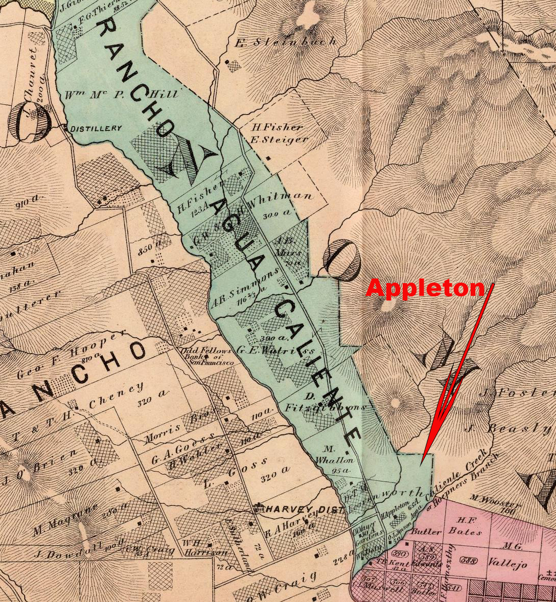
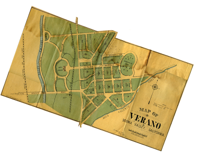
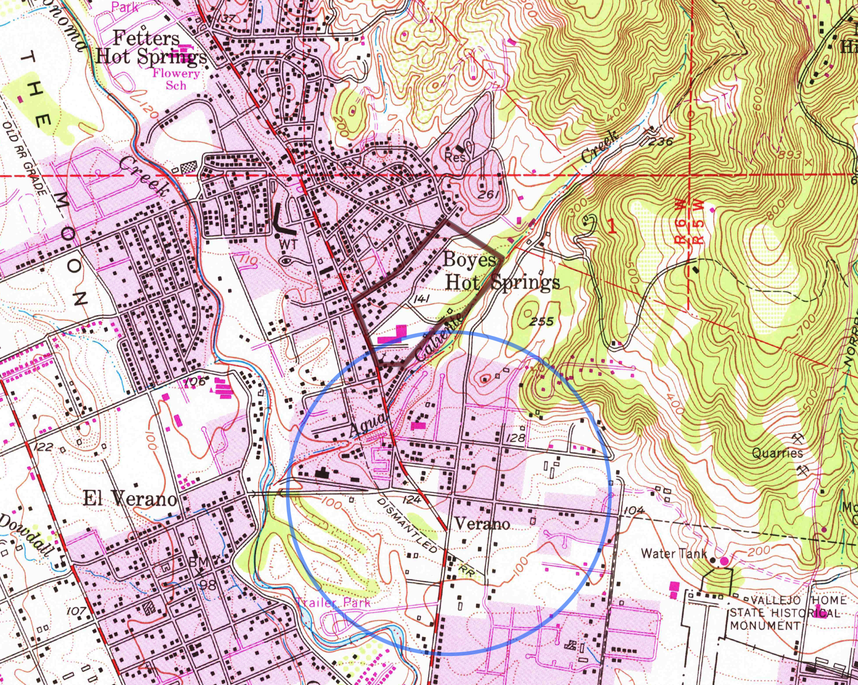
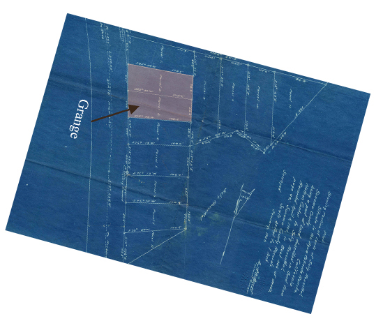
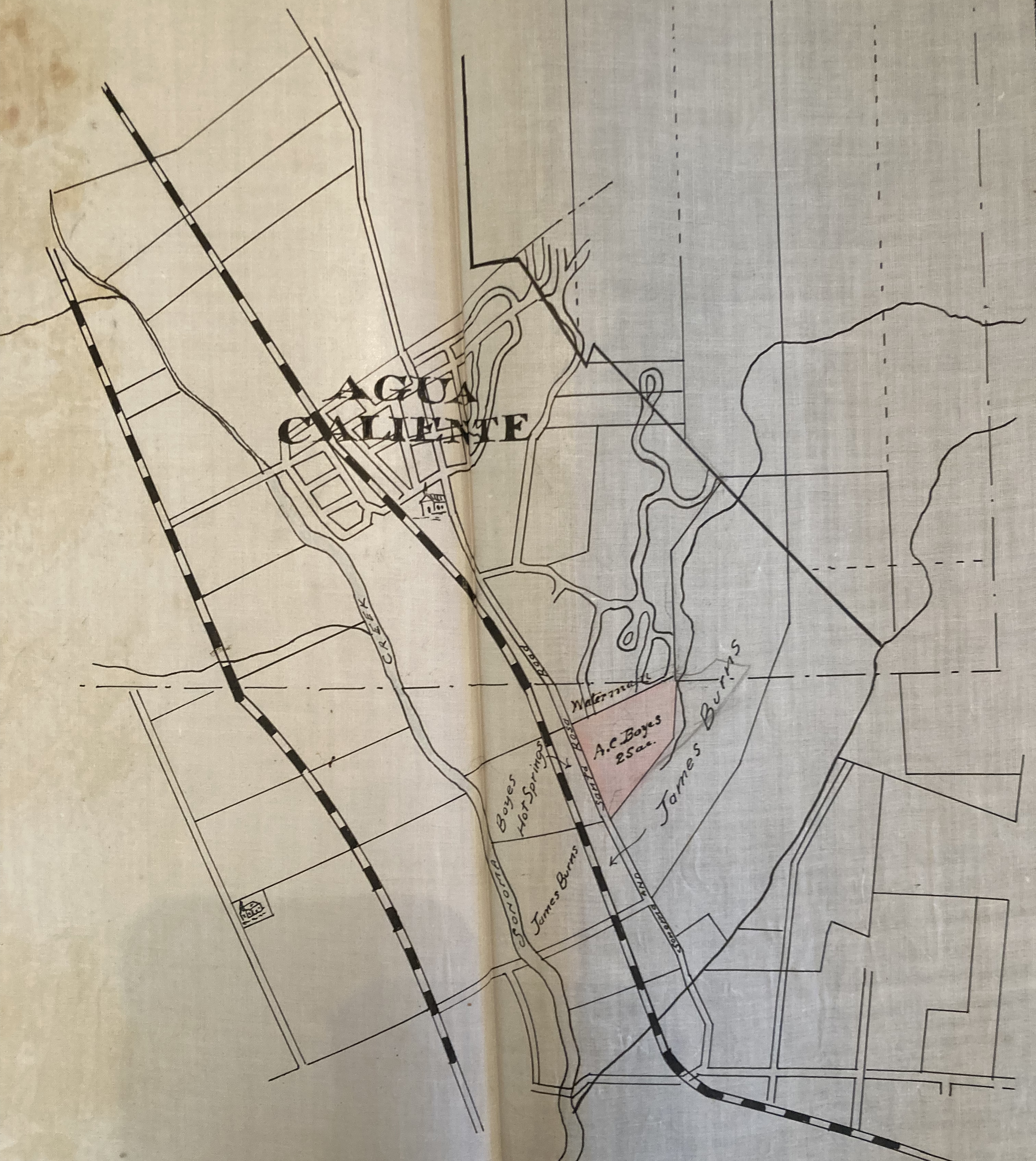
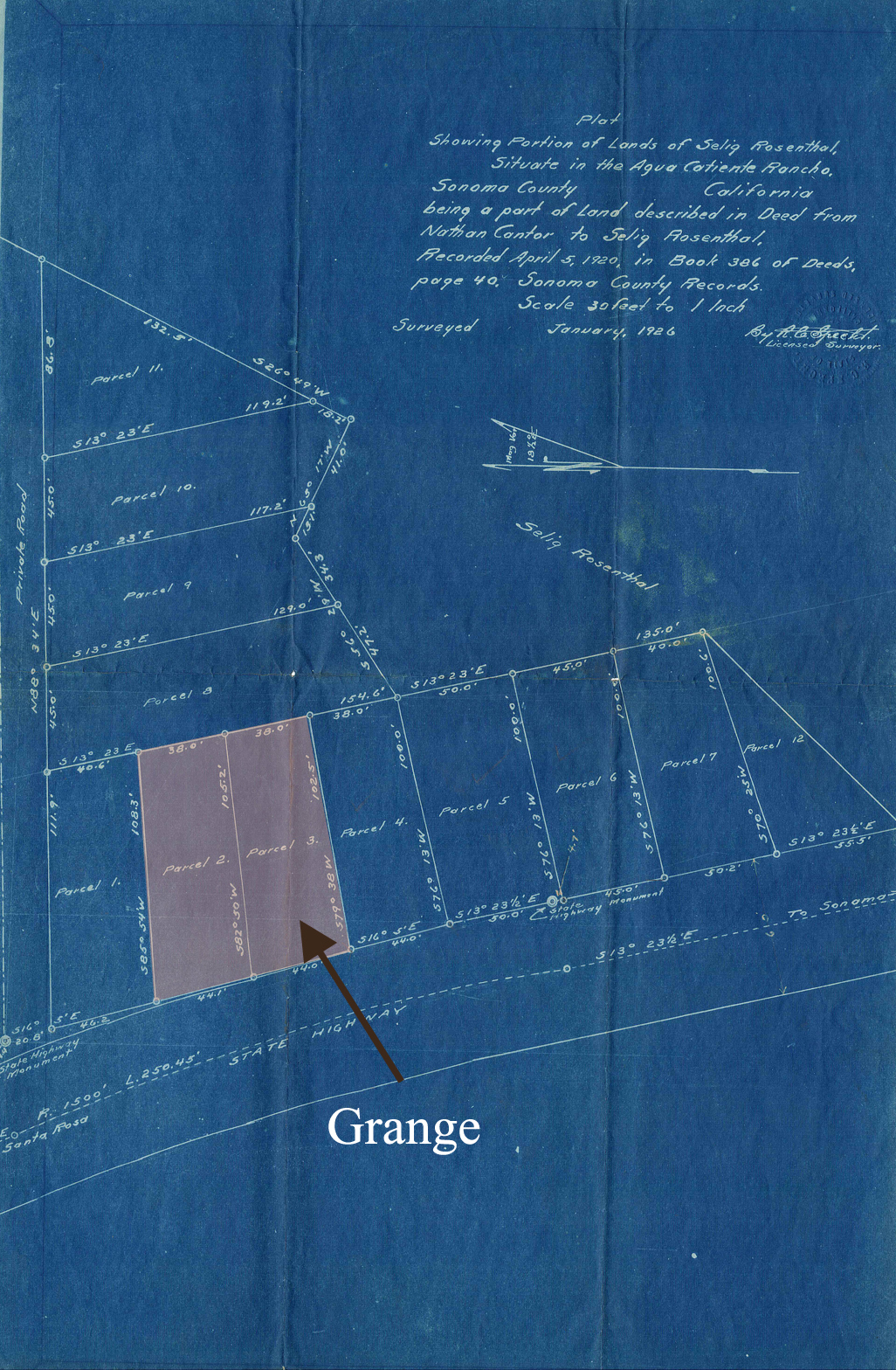
Appleton appears as a property owner on the Reynolds and Proctor maps of 1877 (65 acres) and 1889 (160 acres). (See below). According to the Index Tribune, in 1888: “Several new town sites have been laid out and surveyed in this valley the past few months…Verano is …another new town site which has lately been laid off on the Appleton and Burns places…” (see Boyes abstract map). Parts of the town of Verano (not El Verano), were later owned by Nathan Cantor and Selig Rosenthal. Some of this became the Acacia Grove mobile home park with a carve-out for the Grange in 1934. Read more about Rosenthal, et al, here.
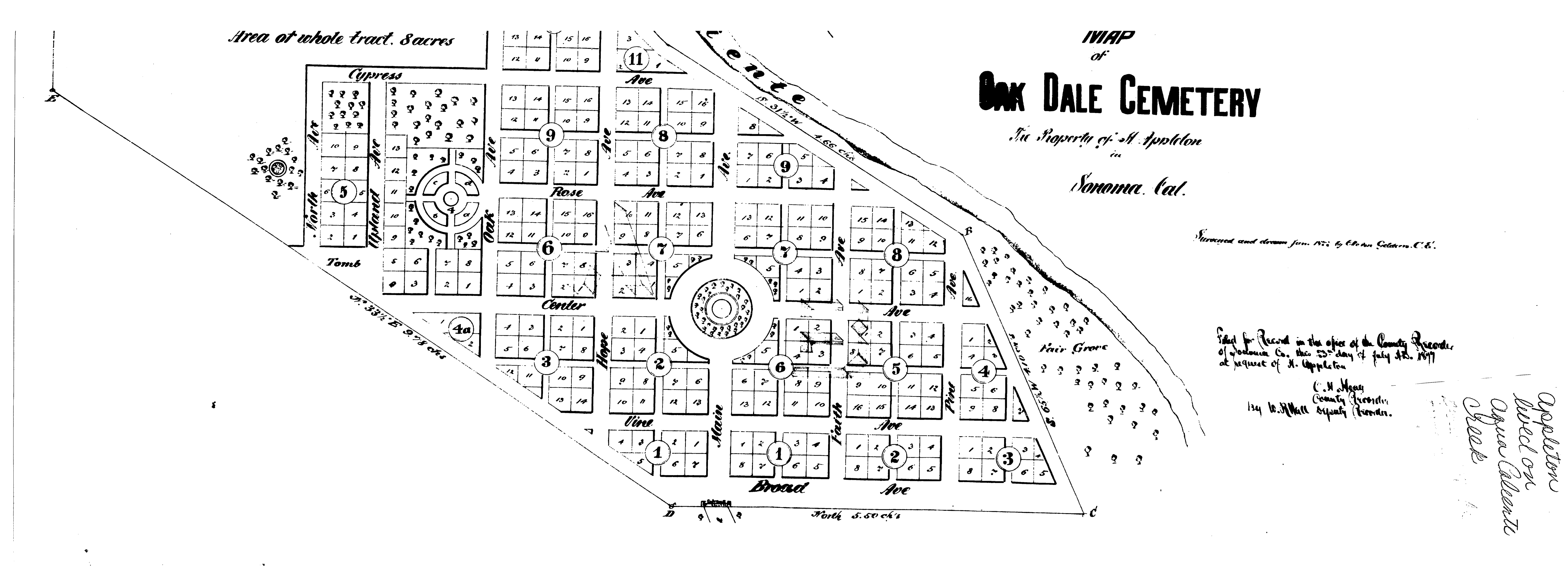
in 1877 Horatio Appleton published a plat of a cemetery on part of his land. (see below)
1877 Reynolds and Proctor map. Sonoma Highway runs through the green area. Its left boundary is Sonoma Creek. Agua Caliente Creek, the south boundary of Appleton’s ranch, joins Sonoma Creek at the bottom of the green area.1880s map of Verano, oriented to match the first map. This was a fanciful depiction of a town that never existed as such, though it did have a railroad depot. Eventually, the “Town of Verano” moved or expanded to the south side of Agua Caliente Creek, as can be seen in the quad map below. The dark line is the approximate outline of the Appleton ranch.Rosenthal’s resort, 1934, showing the lots he sold to the Grange. Sonoma Highway is at left.Map from the abstract of title to Henry Boyes’ land. James Burns land is labeled. Appleton, next to it, is not. An abstract of title was a document used to prove ownership in the days before title insurance. More here.Appleton’s Oak Dale Cemetery, 1877. Another fanciful map.
Thanks to the Sonoma Valley Historical Society, for everything, really, and to the Rumsey Map Collection.
David Douglas, the great English botanist, for whom the Douglas Fir, and many other plants is named, collected in the Pacific Northwest, the Eastern seaboard, and Hawaii, in the years 1823-1834. He also spent some time in California. (čəbidac is the Lushootseed name for D. Fir. Another Coast Salish name for the tree, used in the Halkomelem language, is lá:yelhp https://shoreline.libguides.com/treecampus/douglas_fir)
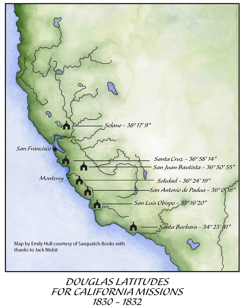
He traveled in there during the years 1830-32, collecting many species then unknown to botanists. He visited the colonial settlements from Santa Barbara to Sonoma, measuring the latitude and longitude at many of them. While in Sonoma he probably spent some time with the Mission fathers, as he had further south. He appreciated them as educated men who spoke fluent Latin.
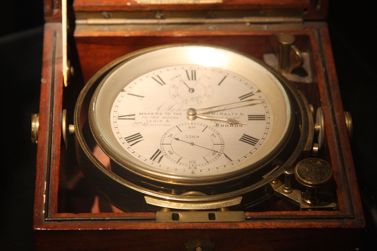
Back in London in 1827, Douglas had trained in surveying with geographer and astronomer Edward Sabine. On his 1829 return voyage around the Horn to North America, Douglas practiced with the instruments and studied the math. He became proficient at the difficult task of measuring longitude, given the unreliability of chronometers at that time.
The longitude as measured today: 38° 17′ 41.2368” N.
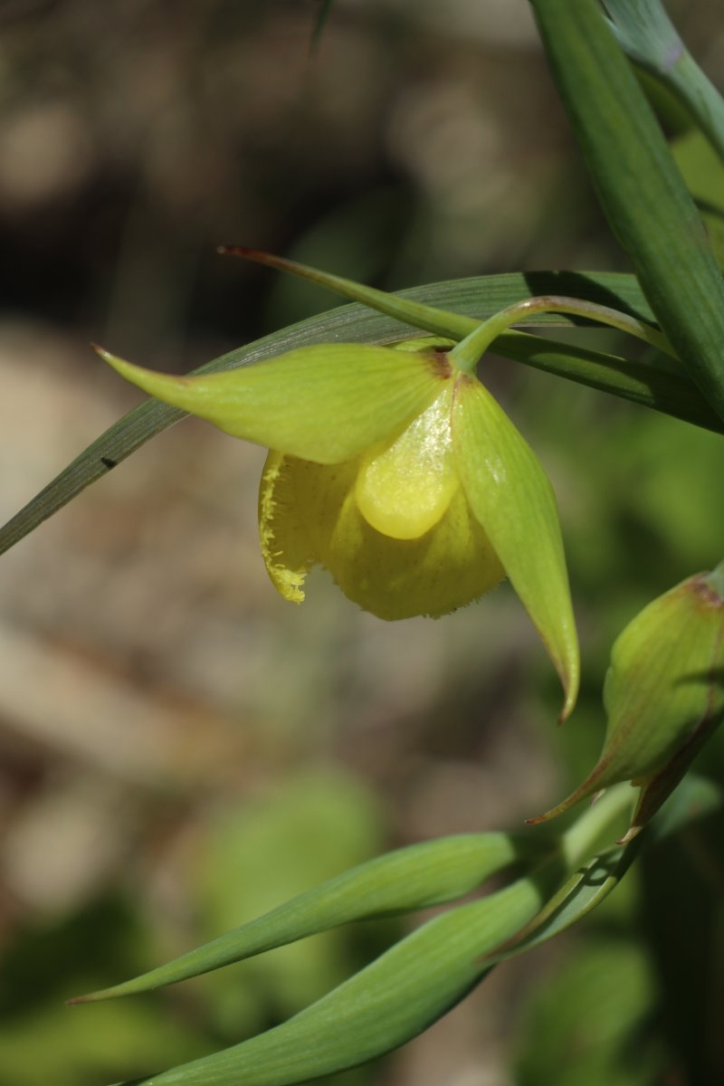
According to Willis Jepson, the dean of California botany, writing in 1933, “He was the first botanical collector in California in residence for any extended period and during this time he traveled through the Coast Ranges from Monterey north to the Mission San Francisco De Solano (Sonoma) and south to the Mission of Santa Barbara. He was not only the first traveler to collect the extensively rich and varied spring flora of the Coast Ranges, nearly all the species of which were new to botanical science, but also the first to leave some written description of it. Hundreds of new species, our most familiar plants, were based on the Douglas collection…” And “It has been suggested that Douglas visited Mt. Diablo, but the form of Calochortus pulchellus which he obtained might have been collected in the Sonoma region.”
Willis Linn Jepson was a co-founder of the Sierra Club and founder of the California Botanical Society. The oldest known California Bay Laurel (Umbellularia californica) is named after him. https://www.smcgov.org/parks/what-see-crystal-springs-trail
Calflora: Information on California plants for education, research and conservation. [web application]. Berkeley, California: The Calflora Database [a non-profit organization]. Available: https://www.calflora.org/ (Accessed: April 30, 2023).
Calochortus pulchellus is a rare species of flowering plant in the lily family known by the common name Mt. Diablo fairy-lantern or Mount Diablo globelily.
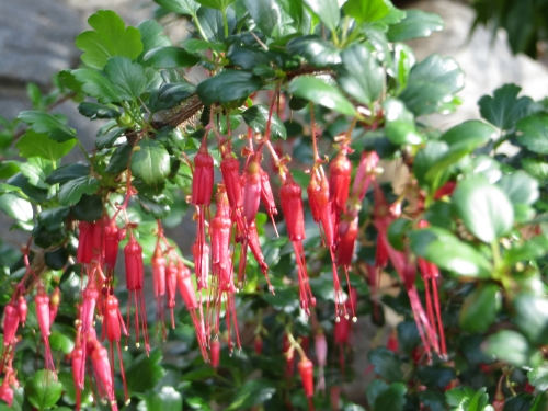
Of the first plant he encountered in California, Douglas stated (one-upping his mentor Menzies?), “Early as was my arrival on this Coast Spring had commenced. The first plant I took in my hand in full flower was Ribes Staminum, (Smith) remark able for the length and crimson splendour of its stamens, a plant not surpassed in beauty by the finest Fuchsia, for the discovery of which we are indebted to the good Sir Arch. Menzies in 1779.” The epithet Ribes staminum is way out of date. It has been suggested to me by the esteemed botanist Steve Acker, Phd. That the species described by Douglas would be Ribes divaricatum var. pubiflorum. However, given Douglas’ description it could be Fuchsiaflower Gooseberry, Ribes speciosum
My thanks to Peter Meyerhoff and Jack Nisbit for assistance. Jack is the author of two books about David Douglas, “The Collector: David Douglas and the Natural History of the Northwest” and “David Douglas: A Naturalist at Work” available from Sasquatch Books: https://sasquatchbooks.com/
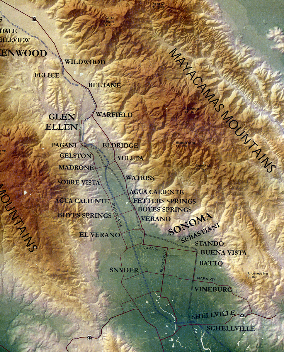
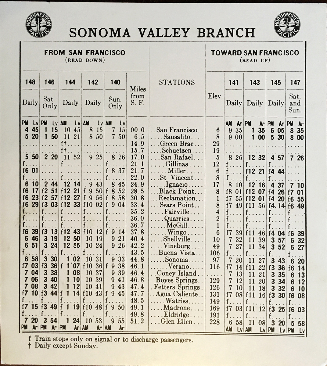
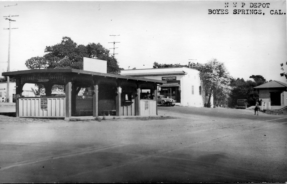
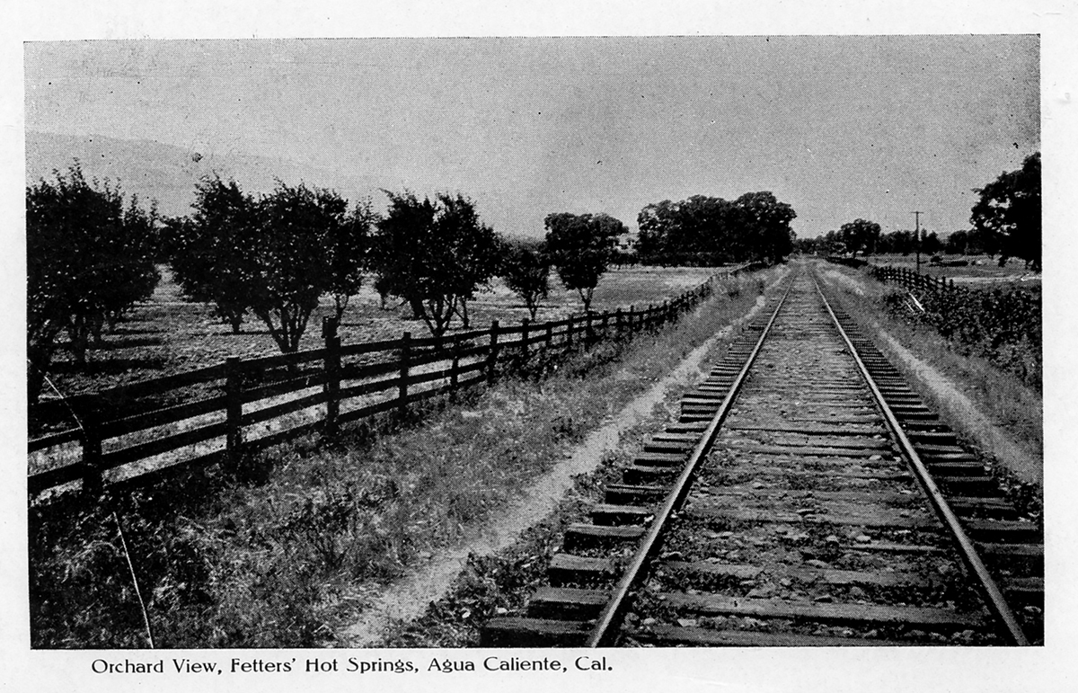
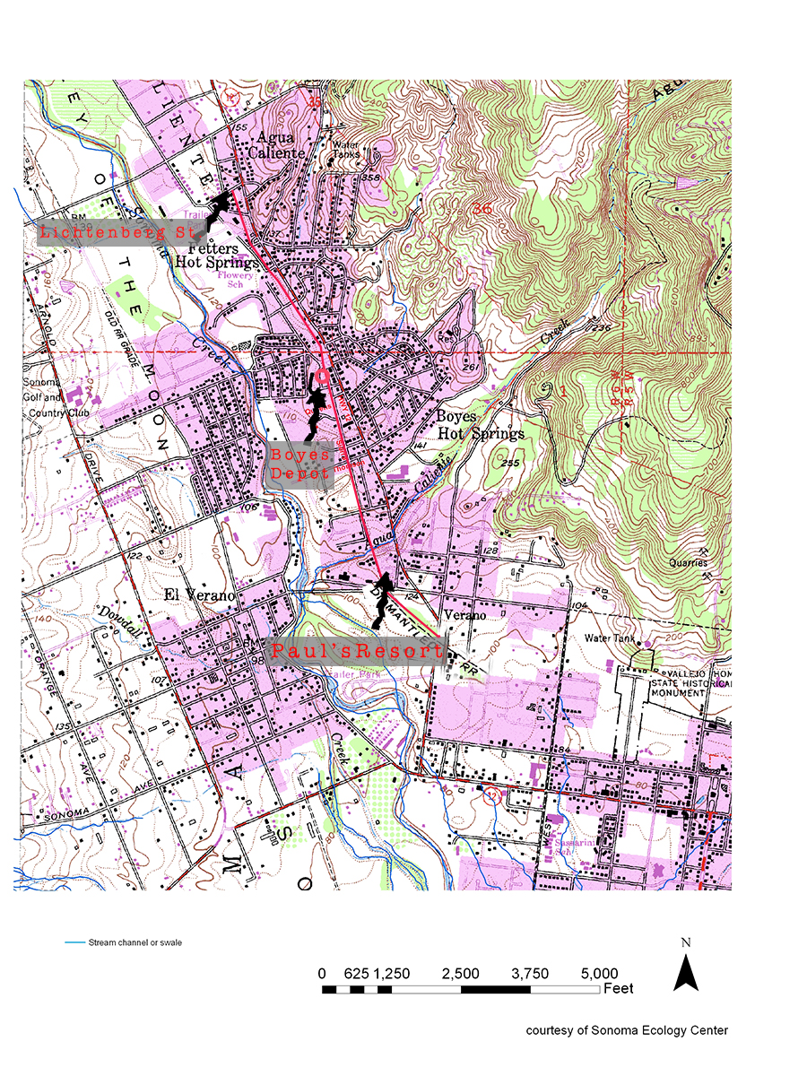
The last year of operation for the Northwest Pacific Railroad in Sonoma Valley, which ran on the east side of Sonoma Creek, was 1942. That year freight service ended, and the tracks were torn up for steel for the war effort. Traces of the right-of-way can be seen in several places in El Verano, Boyes Hot Springs, Fetters Hot Springs, and Agua Caliente.
From El Verano going north:
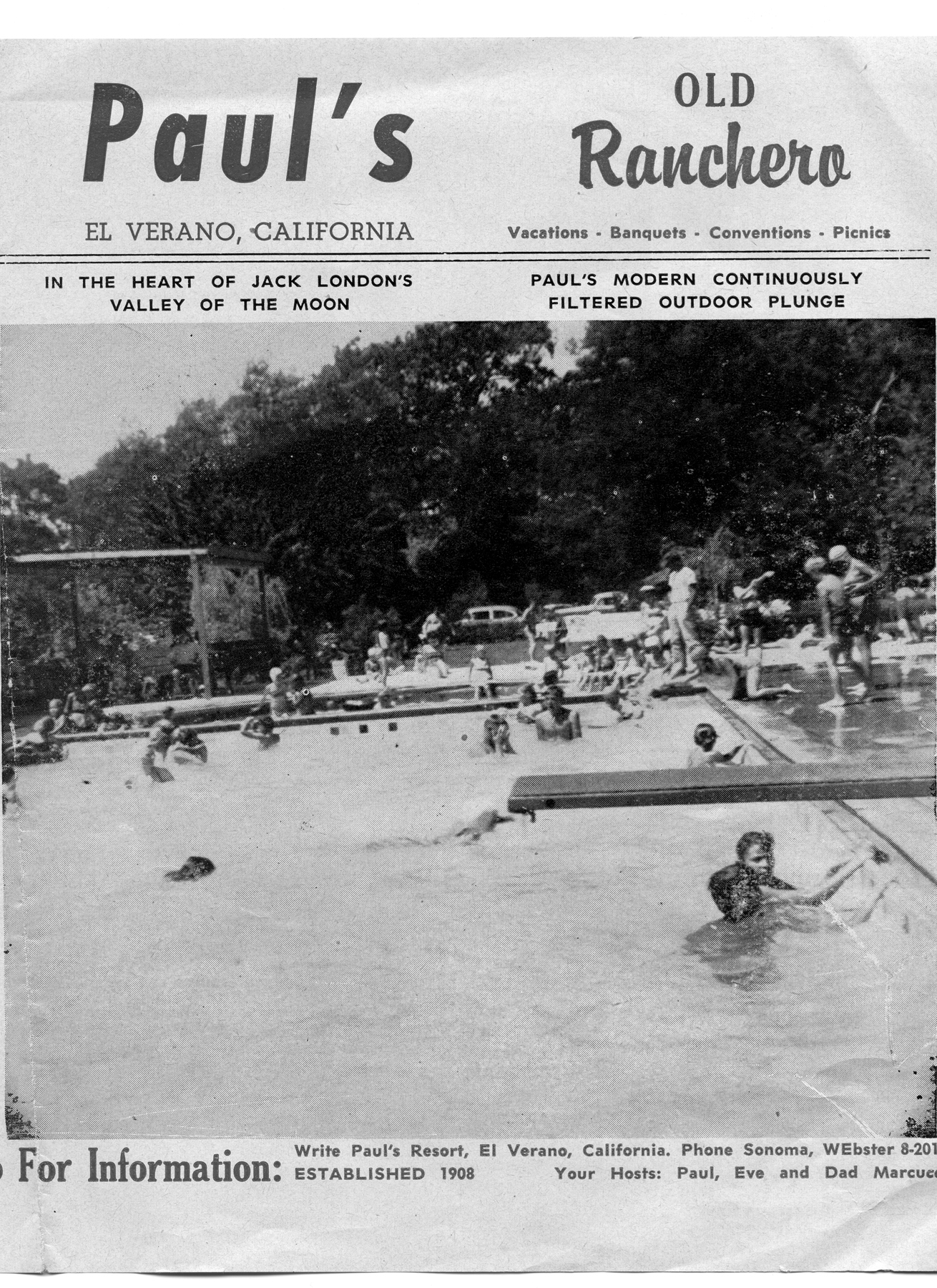
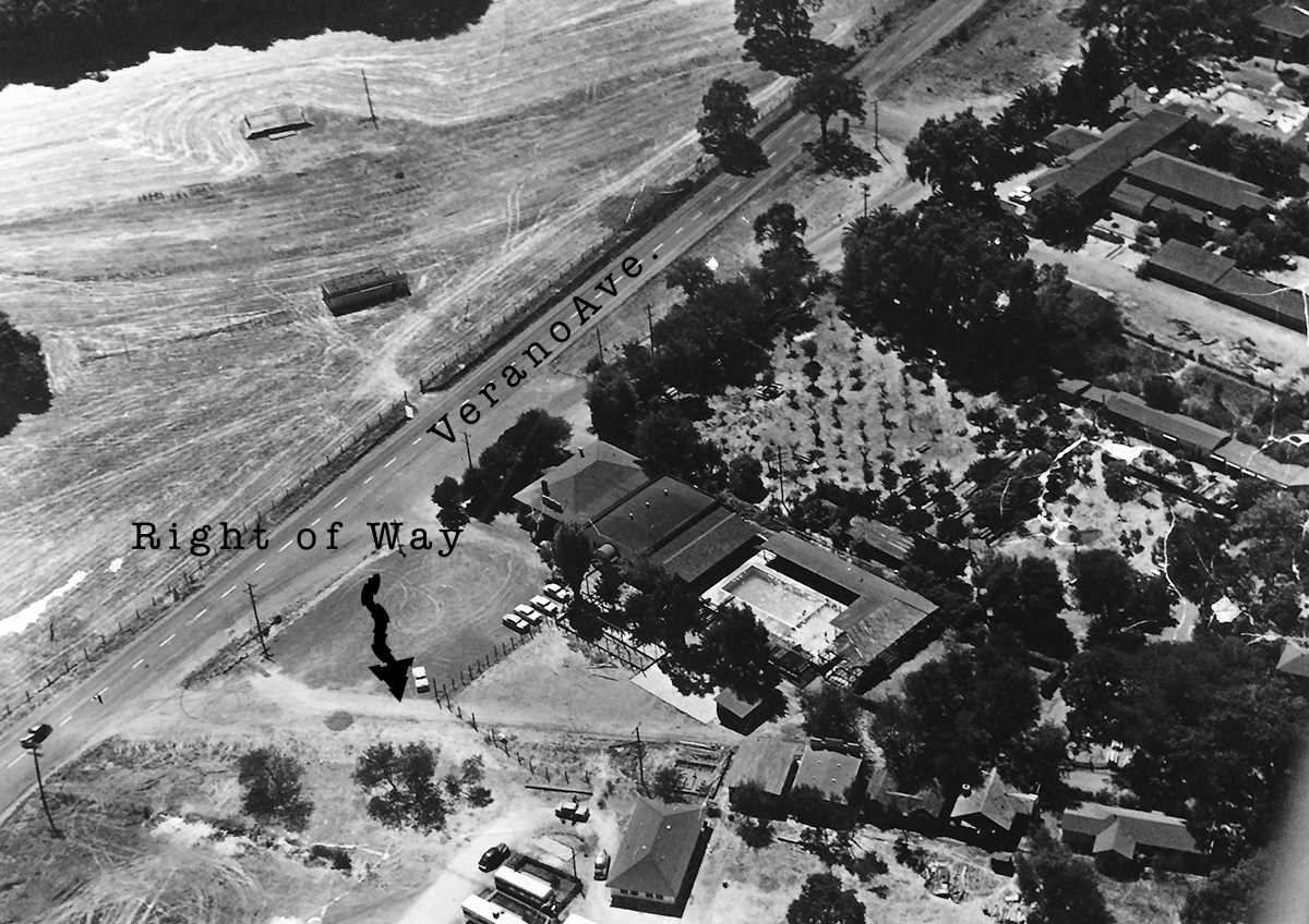
In El Verano the tracks run through the Paul’s Resort property, where the Verano (not El Verano) depot was located.
Paul’s Resort, 1960s
From there it parallels Fairview Ln. (which may have been right-of-way) until it gets to Thompson, where Sierra Dr., formerly Meinke Ave., takes over the roadbed. (More about Sierra and Mienke.) Manzanita St. might have been a spur. It features several buildings that look as if they could have been built by the railroad.
House on Manzanita near Academy Lane
Where Sierra turns east to the Highway the right of way continues north through the Sonoma Mission Inn (originally the Boyes Hot Springs Resort) grounds and past the BHS depot, which land is now the parking lot for the Plaza Center building (More here).
Boyes Depot 1942
Right-of-way next to old commercial buildings at Boyes Plaza, which were demolished in 2018. Photo taken from the apporxiamte location of the Boyes Depot.
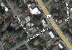
Continuing north it parallels the Highway and can be seen crossing Lichtenberg Ave, parallel to Johnson Ave.
At Lichtenberg.
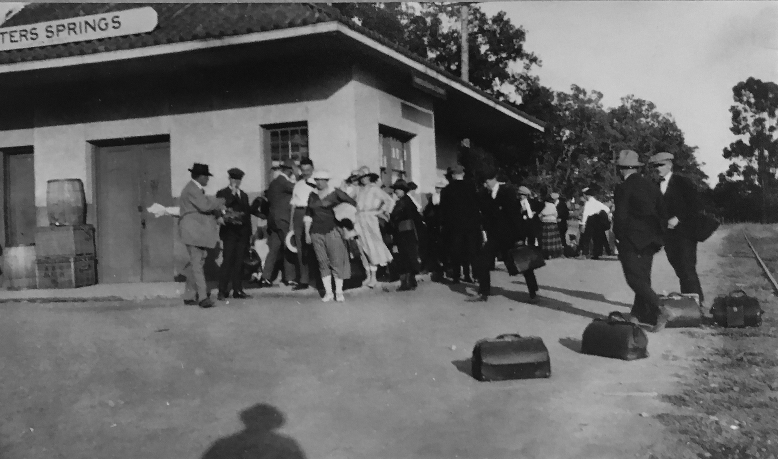
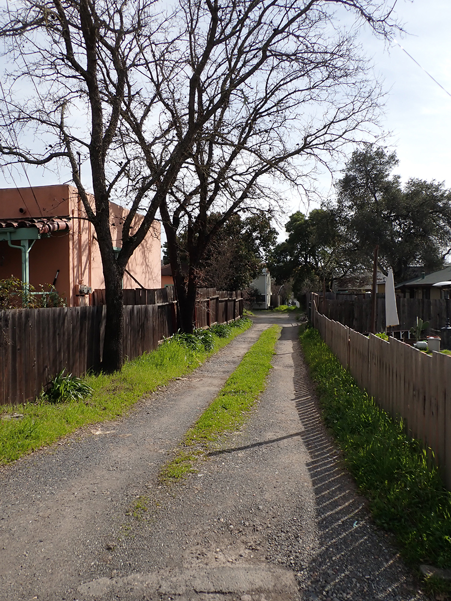
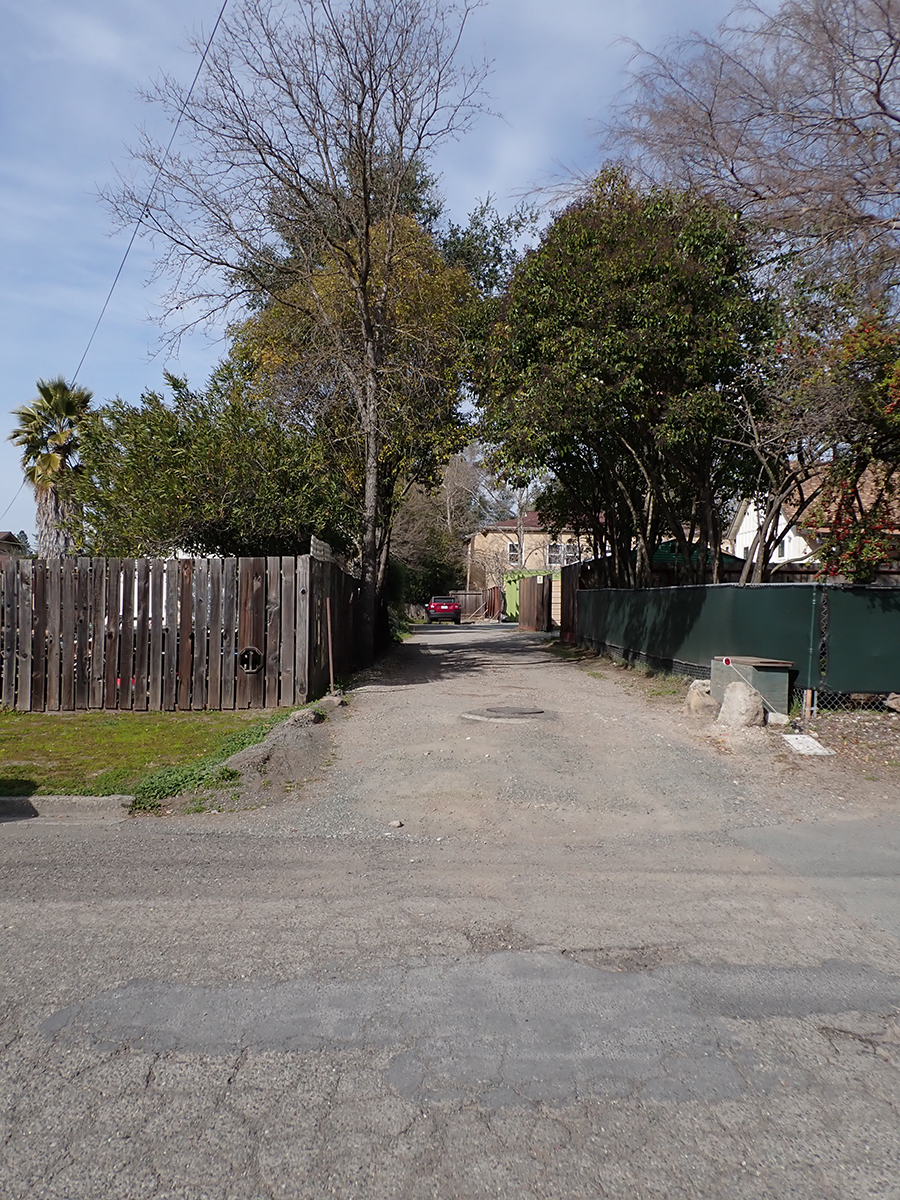
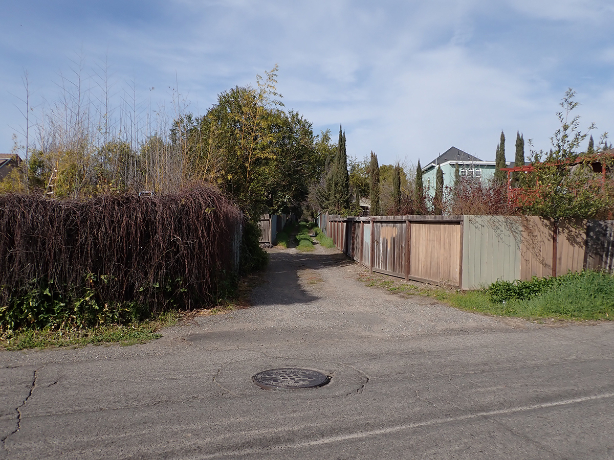
The next trace is the old Fetters Depot building on Depot Rd in front of Flowery School. It crosses the Fetters Apartments and Charter School properties and is seen again at Vialetti Dr. The old roadbed has become the alley the runs from Vailetti to Marin Ave. That is the last appearance of the right-of-way in the area.
Fetters Depot 1910s
1910s
At Marin Ave. looking south.
At Marin Ave. looking north.
At Vailetti Rd. looking north
Maps and photographs courtesy of the sonoma Valley Historical Society unless noted otherwise.
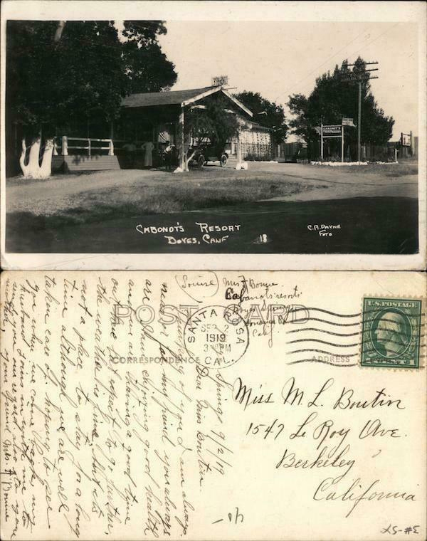
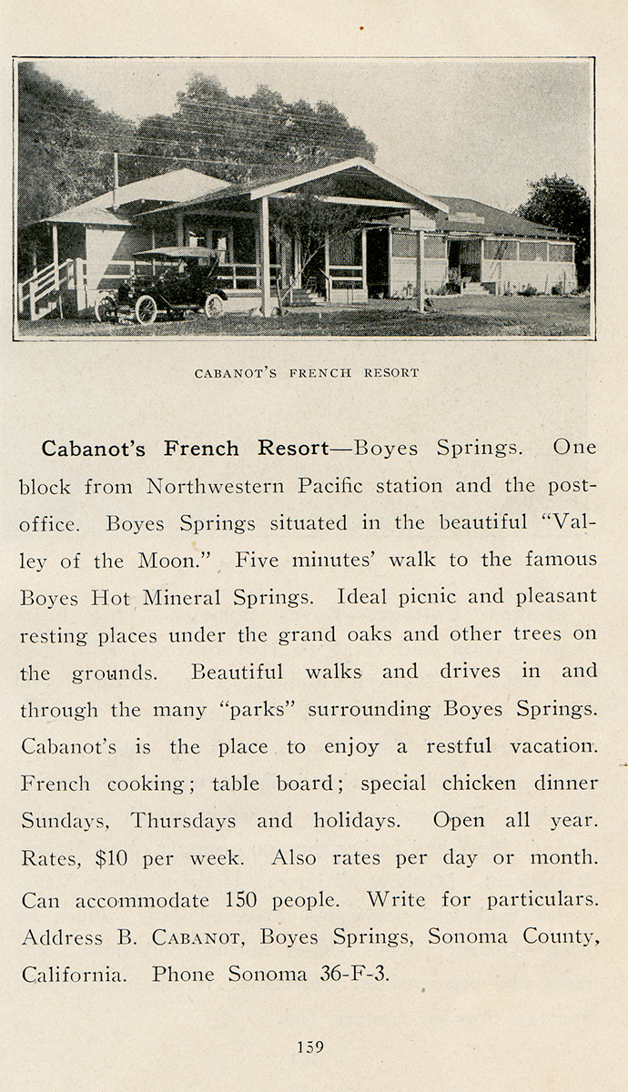
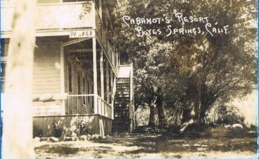
Bernard Cabanot was born in France in 1861 and came to the US in 1876. He lived and worked in San Francisco and Redwood City until 1914, when he came to Boyes Hot Springs and opened his French Resort. (There was another French Resort operated by the Dutil , Lounibos and Verdier families in El Verano. Please see: https://springsmuseum.org/2020/12/13/dutil-french-cottages-verdiers/)
“One block from the Northwestern Pacific station and the post office,” refers to the P.O. located at the Woodleaf Store.
He built several buildings in Boyes, including the Woodleaf Store, which was constructed in 1921 and rebuilt after the 1923 fire.
Woodleaf Store, Boyes Blvd. and Sonoma Highway, 1930s. This building still stands, part of the Sonoma Mission Inn.
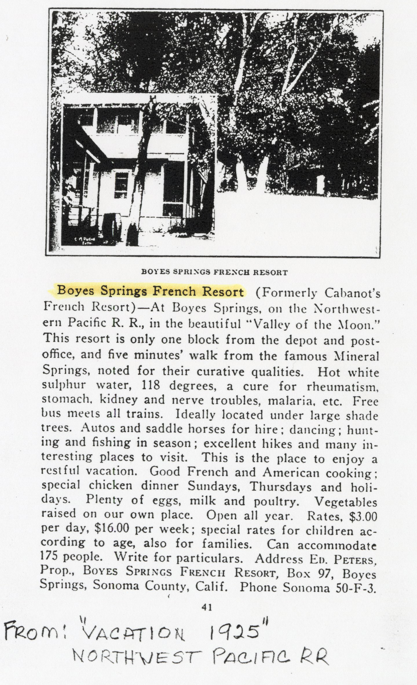
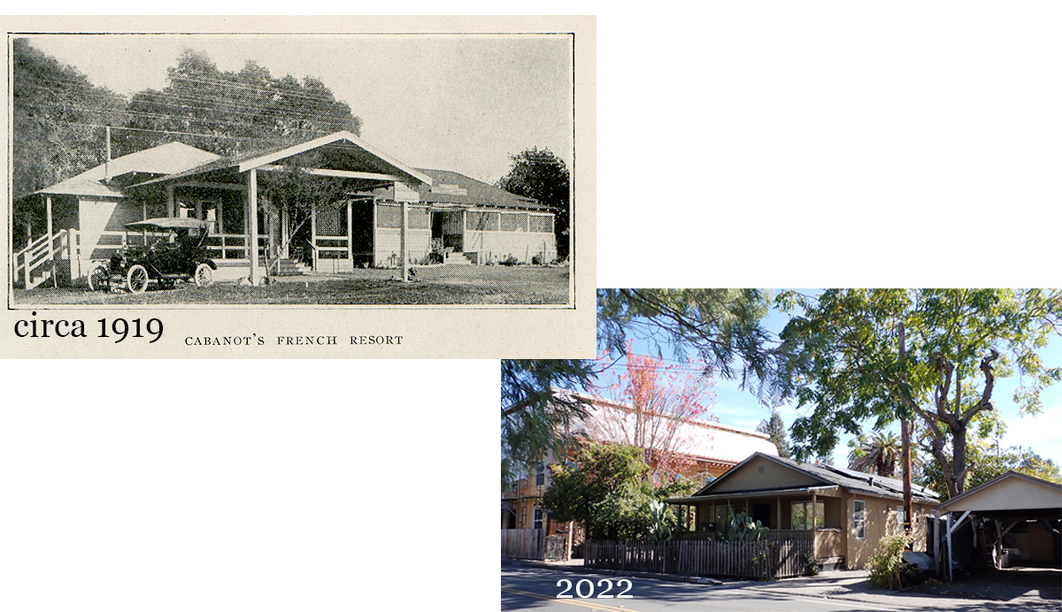
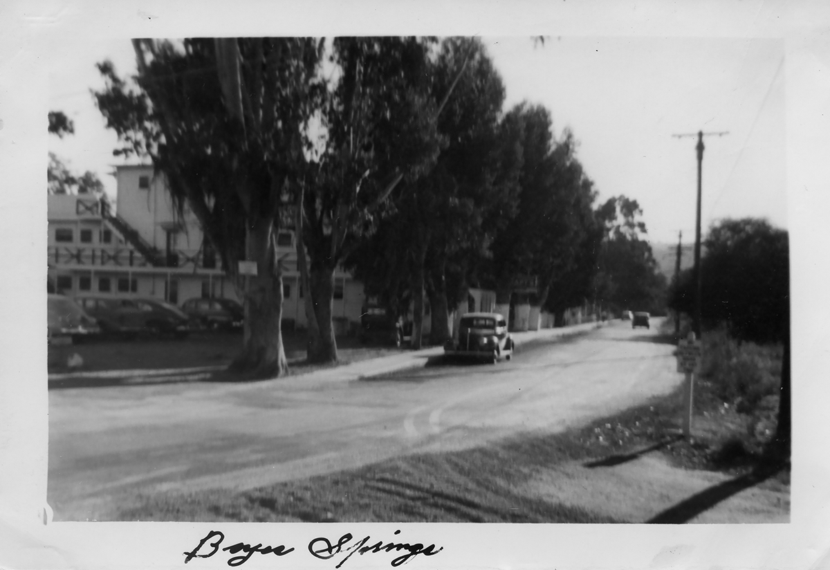
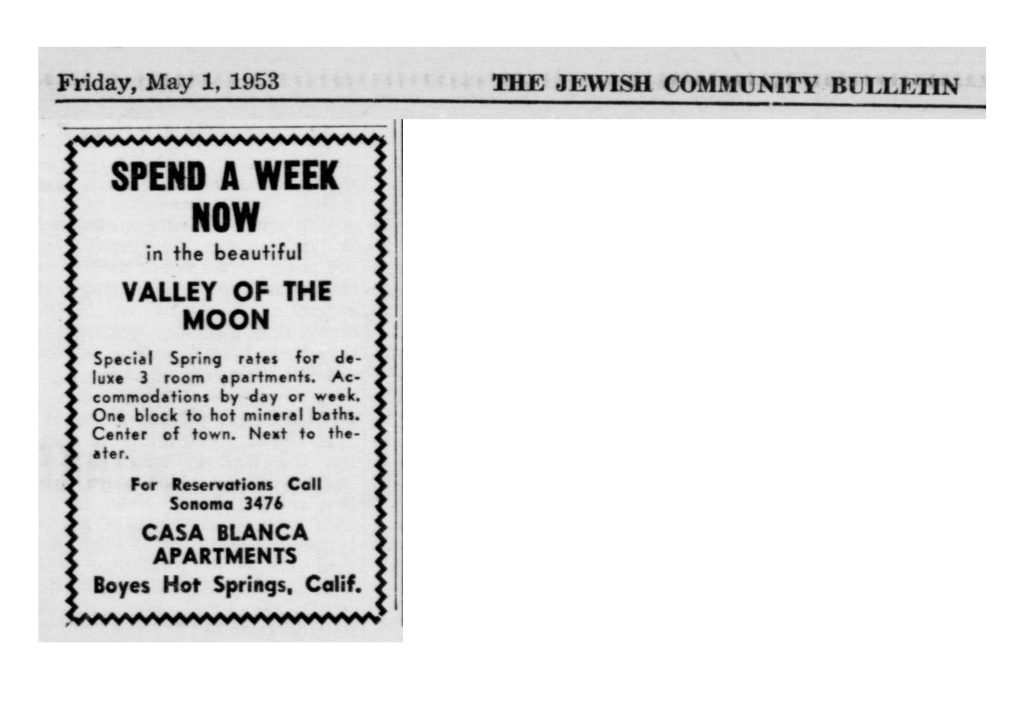
We have images of two different buildings for the resort. The oldest ones are of pleasant one-story bungalows, dated 1919 (first two images). The second building is two stories and dates from 1925 (above).
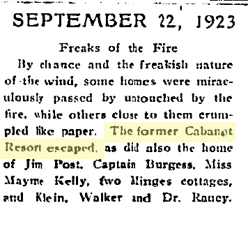
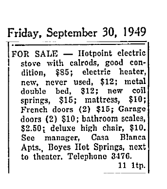
According to the Index Tribune, Cabanot’s Resort was not destroyed by the great fire of 1923 so it’s possible the larger building was built along side of the smaller ones. Both places are described in ads as being “next to the theater,” which was at the corner of Boyes Blvd. and Gregor Street, where the apartment building is today.
The original Cabanot’s?Index Tribune
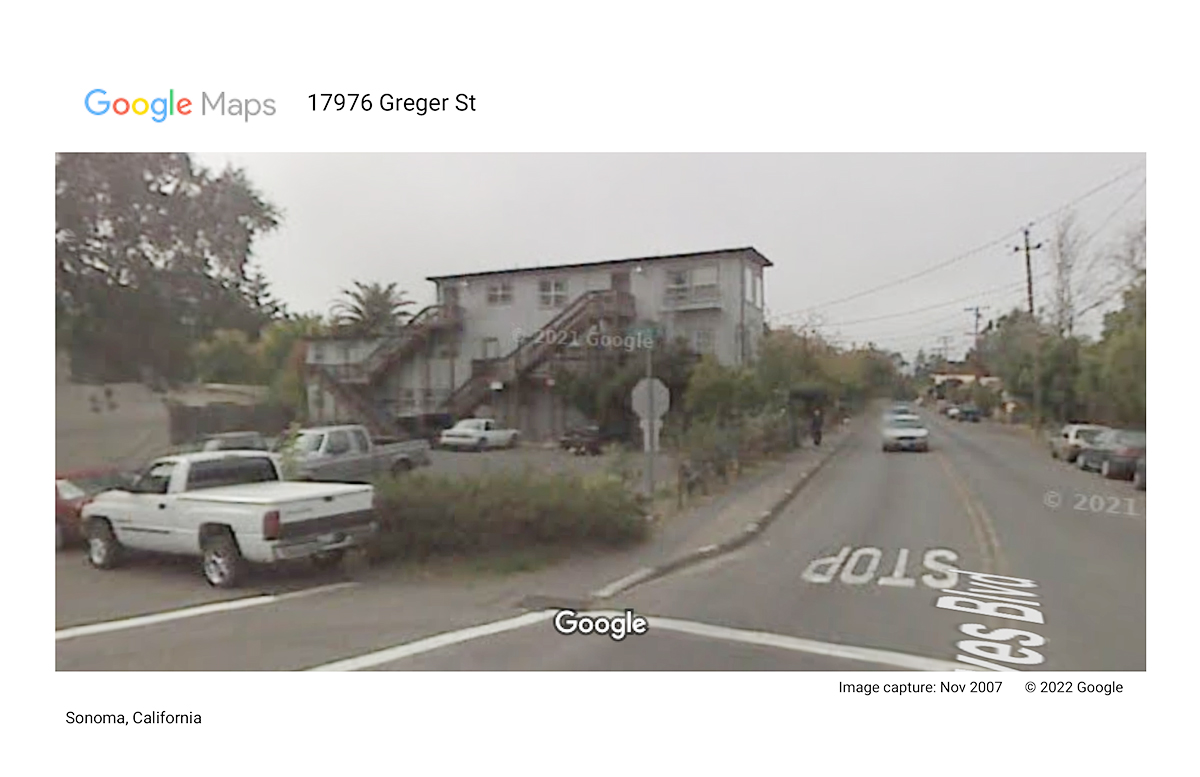
The two story became the Casa Blanca Apartments, by which name it is still known today (2022).
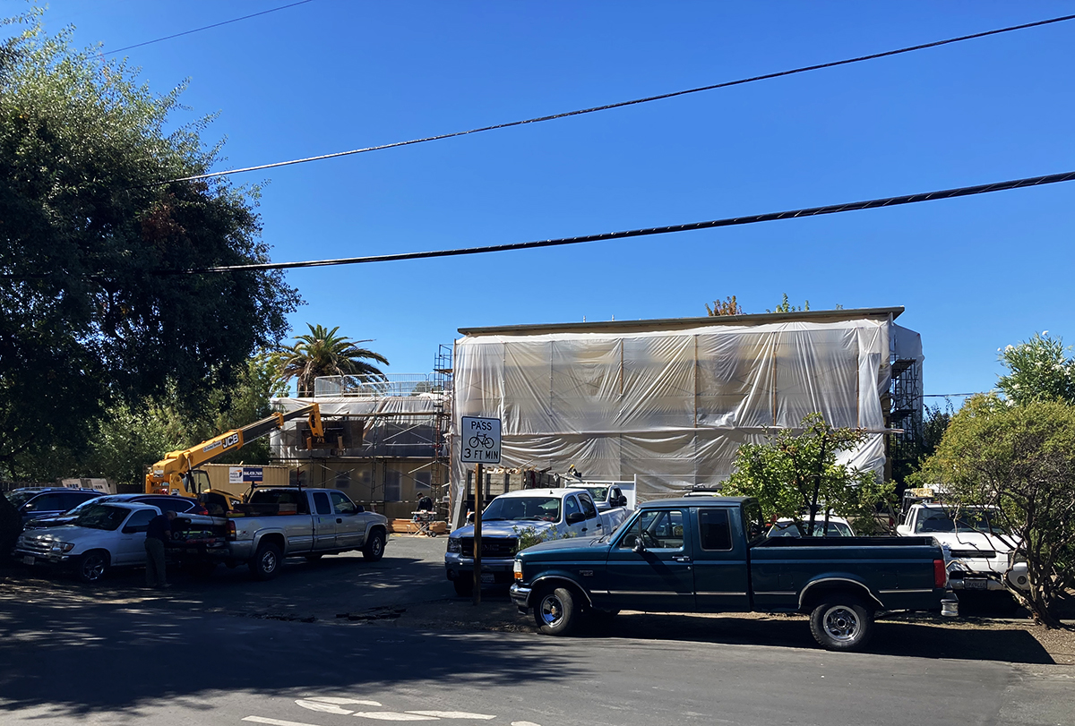
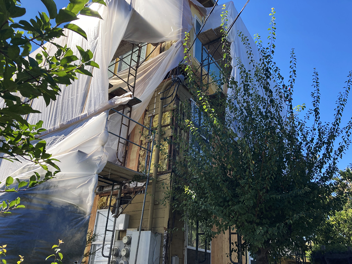
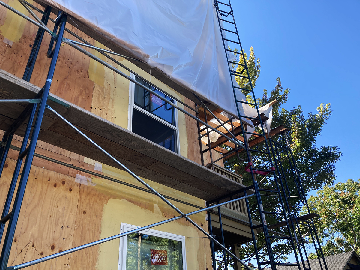
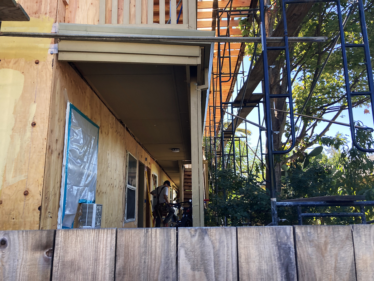
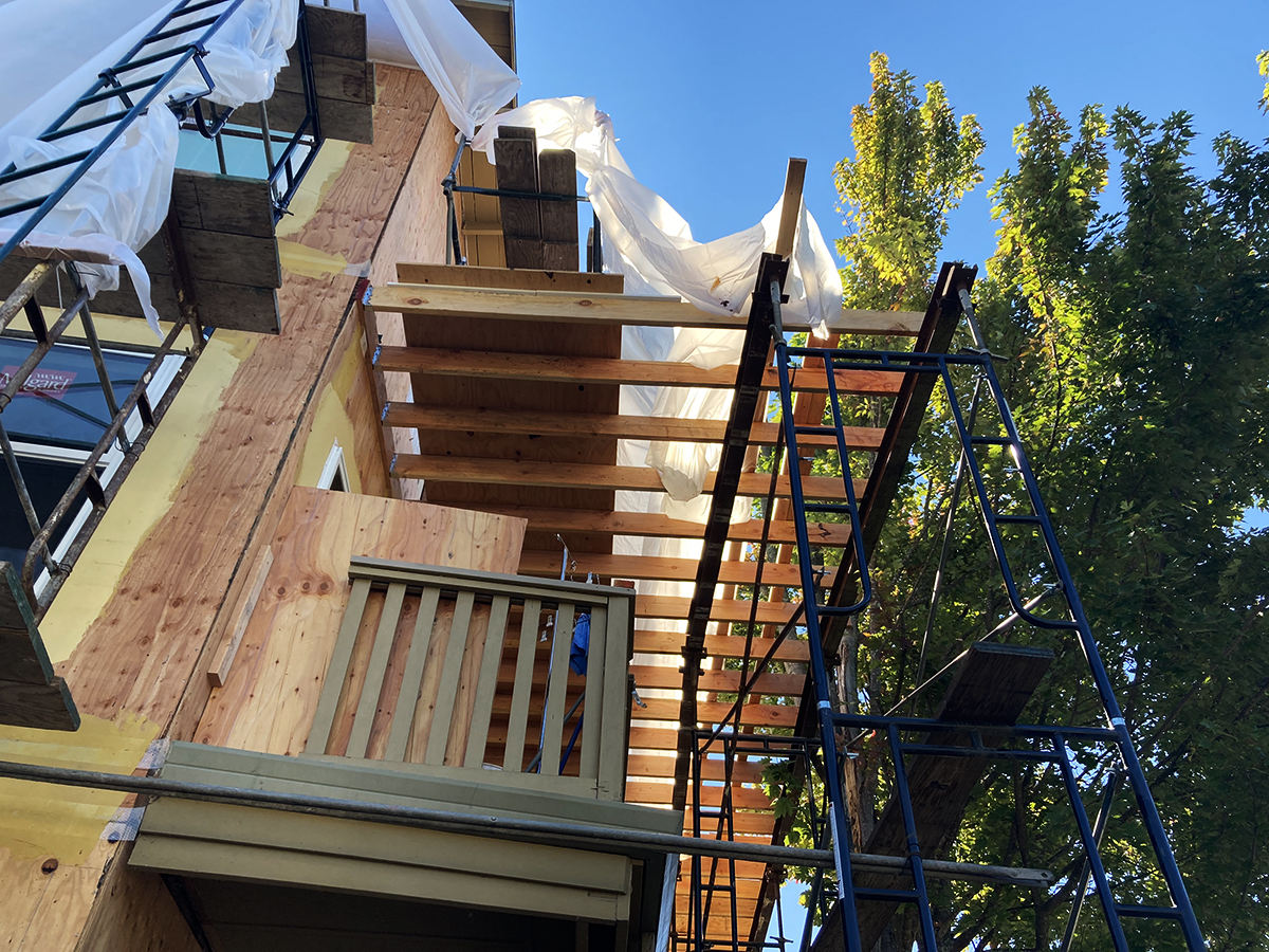
As of September 2022, major repairs were taking place. All the exterior siding was removed, plywood was applied as earthquake bracing, and new doors and window were being fitted. Not historic preservation but perseverance. With several nearby historic buildings being bulldozed recently, we will take what we can get.
Under Construction 2022
Thanks to Lorrie Baetge Fulton of the Sonoma Valley Historical Society for research help, and to the Gordon Lindberg Collection of the Sonoma Valley Historical Society, who also provided the Index Tribune material.
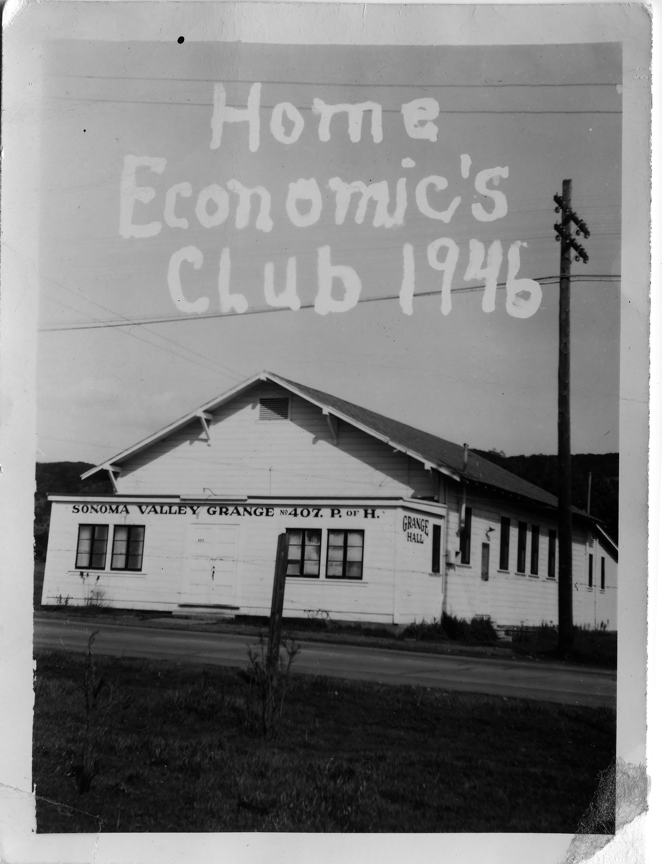
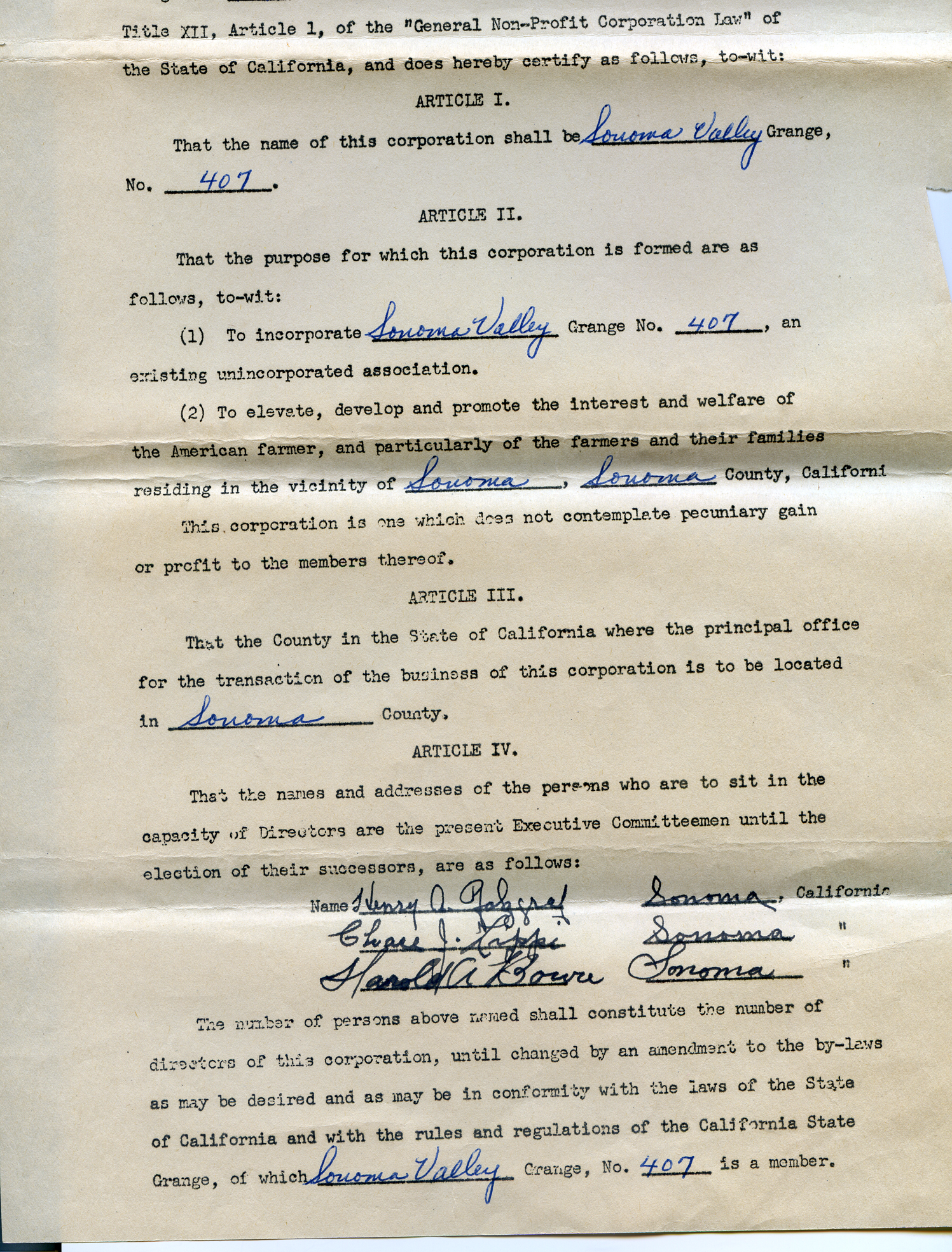
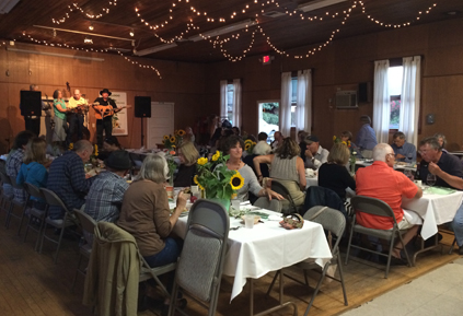
The Sonoma Valley Grange was chartered in 1924. Grange members were able to buy buy their own hall, from Selig Rosenthal of Rosenthal’s Resort, in 1934. Speculation has it the building, located on Hwy 12 adjacent to the Acacia Grove mobile home park, had been a dance hall, possibly a speak-easy during Prohibition. (Please click the link to read more about Rosenthal.)
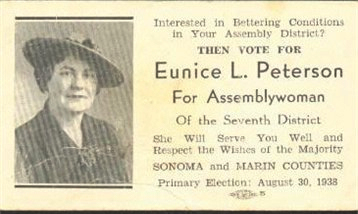
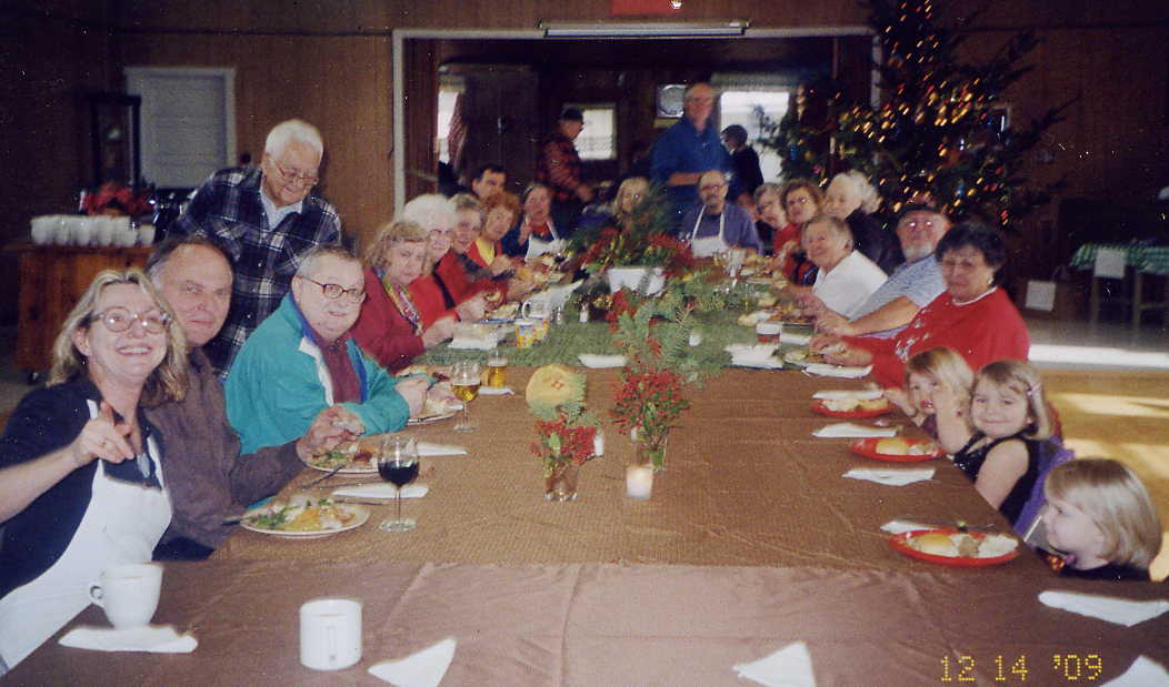
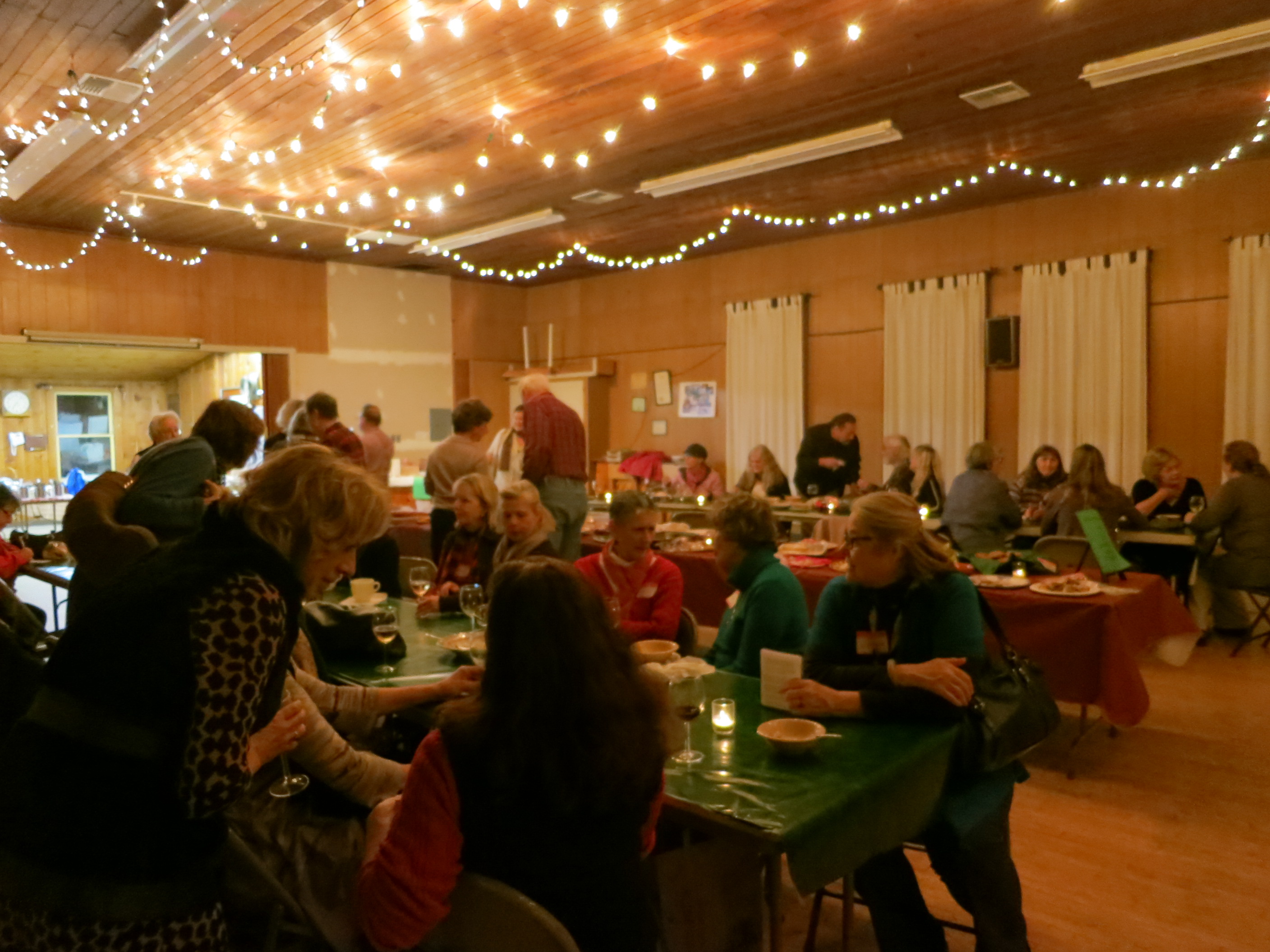
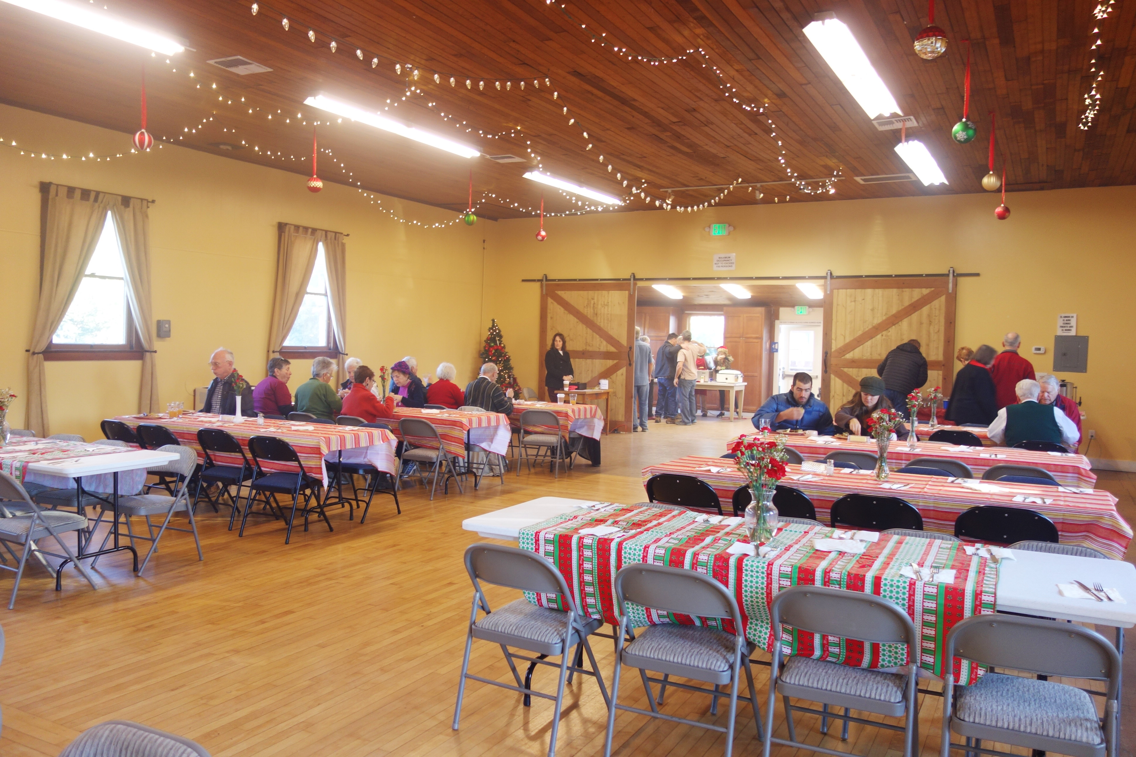
The Grange prospered and the building was added on to. Events such as a semiannual flea market, pancake breakfast, and Christmas parties were popular. The Grange participated in the institution’s traditional lobbying of elected officials in favor of farmers and community wellbeing in general. Women were prominent in the leadership, serving as presidents, secretaries, and treasurers. Eunice Peterson, a charter member and past master (president) of the Sonoma Valley Grange, was the first woman to serve on the Sonoma-Marin Fair board in 1940 and 1941 and ran for state assembly in 1938.
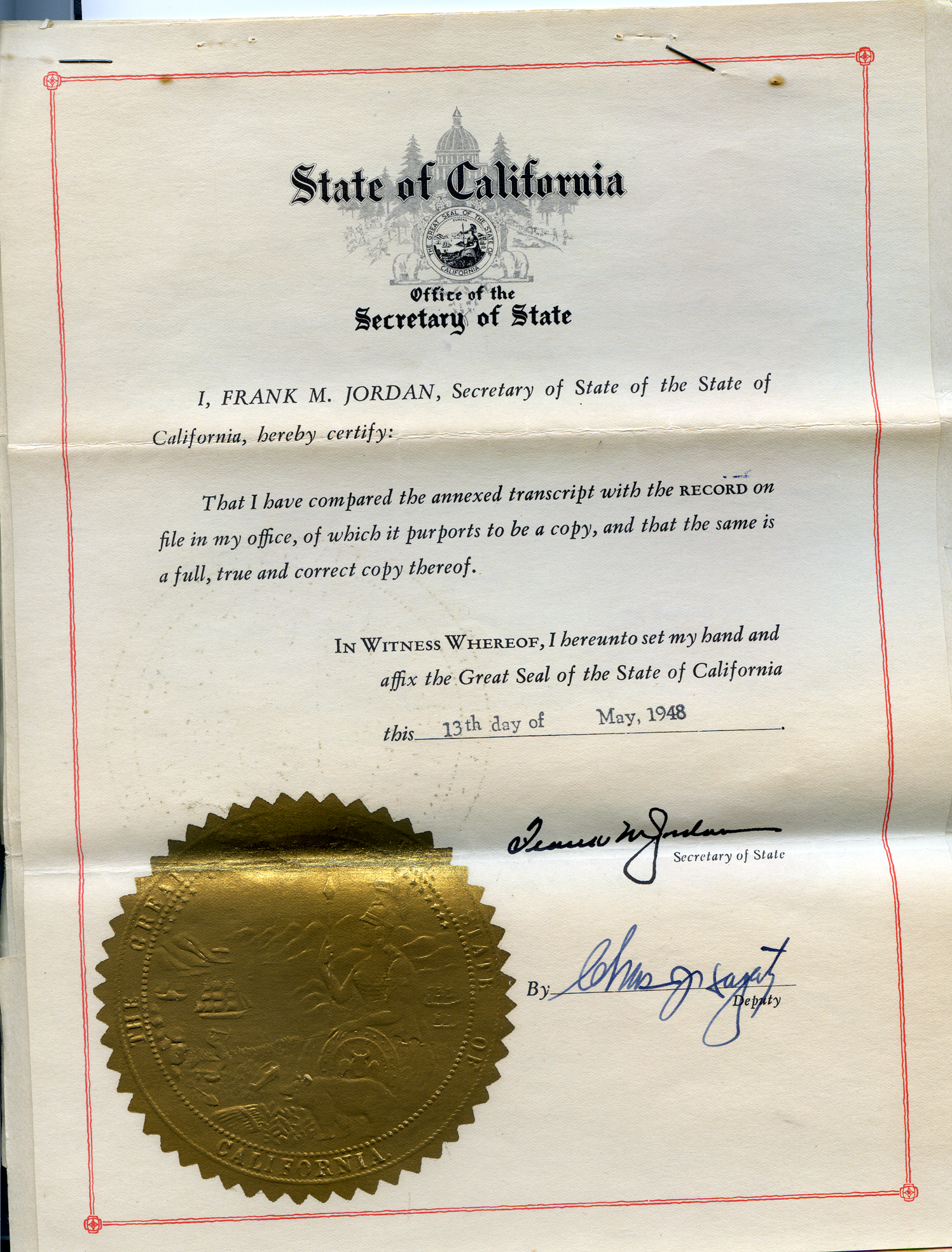
The Grange was incorporated in 1948.
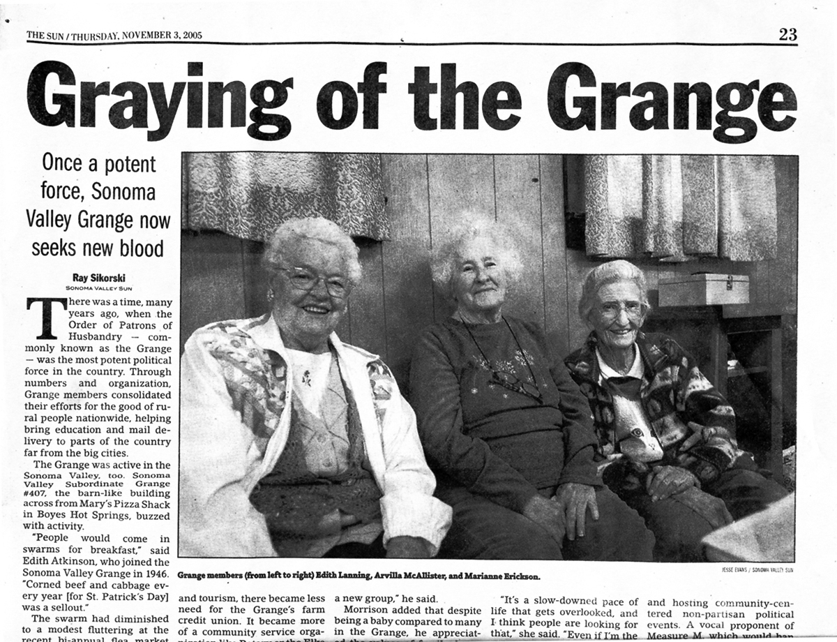
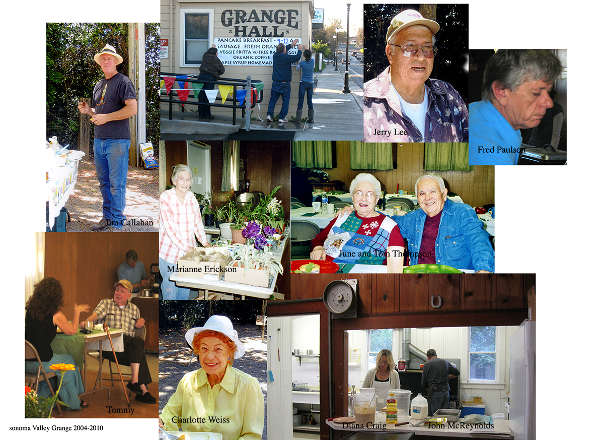
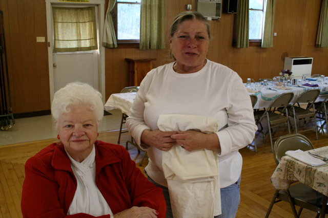
2008Grange old timers Edith Lanning, Arvilla McAllister, and Marianne Erickson, 2005
Younger folks did join in the early 2000s, starting a strong period of growth for the Grange.
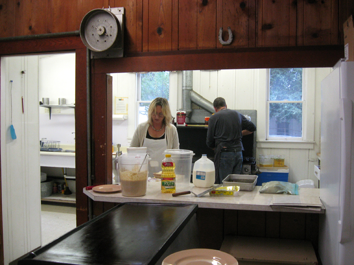
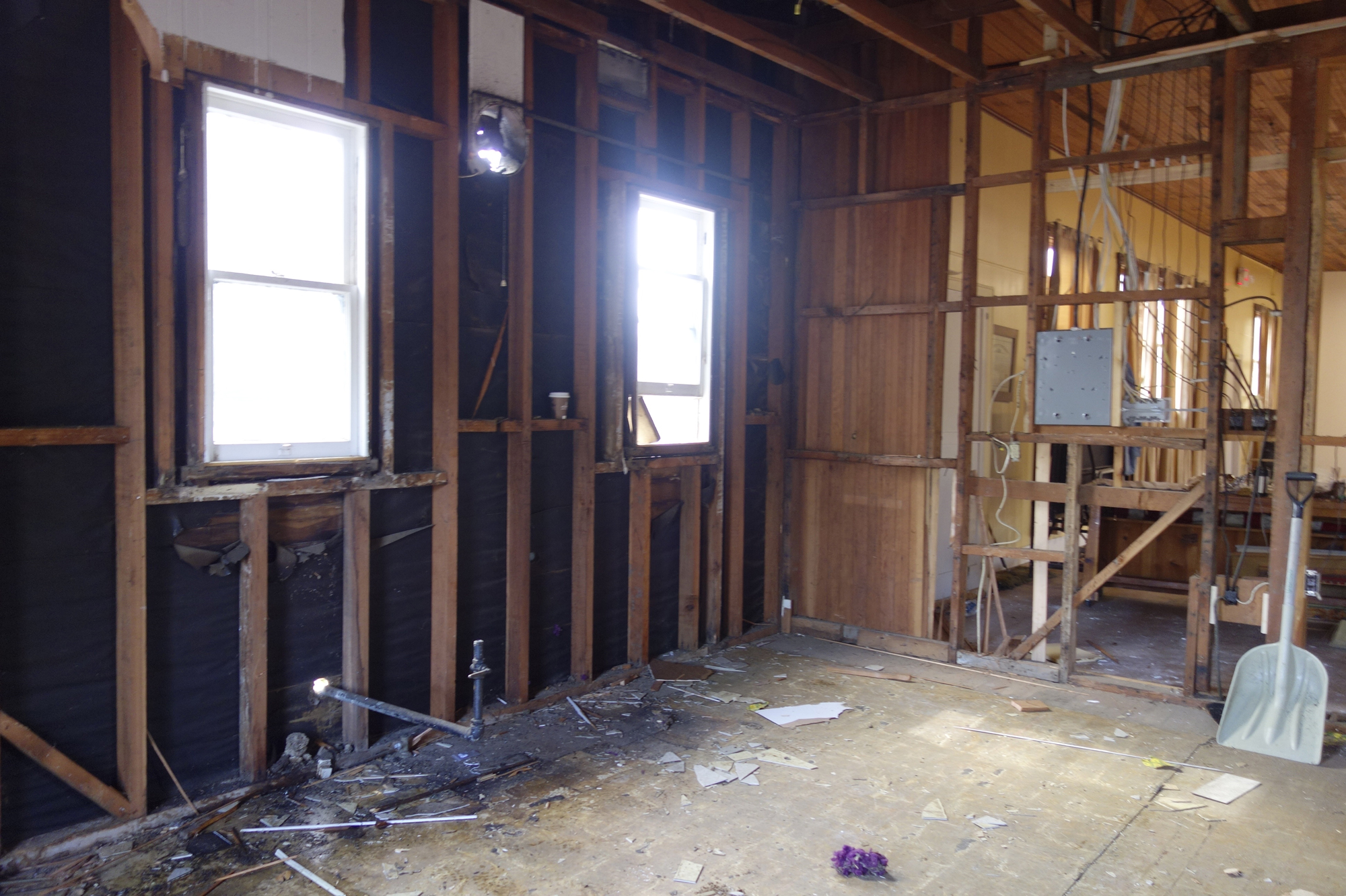
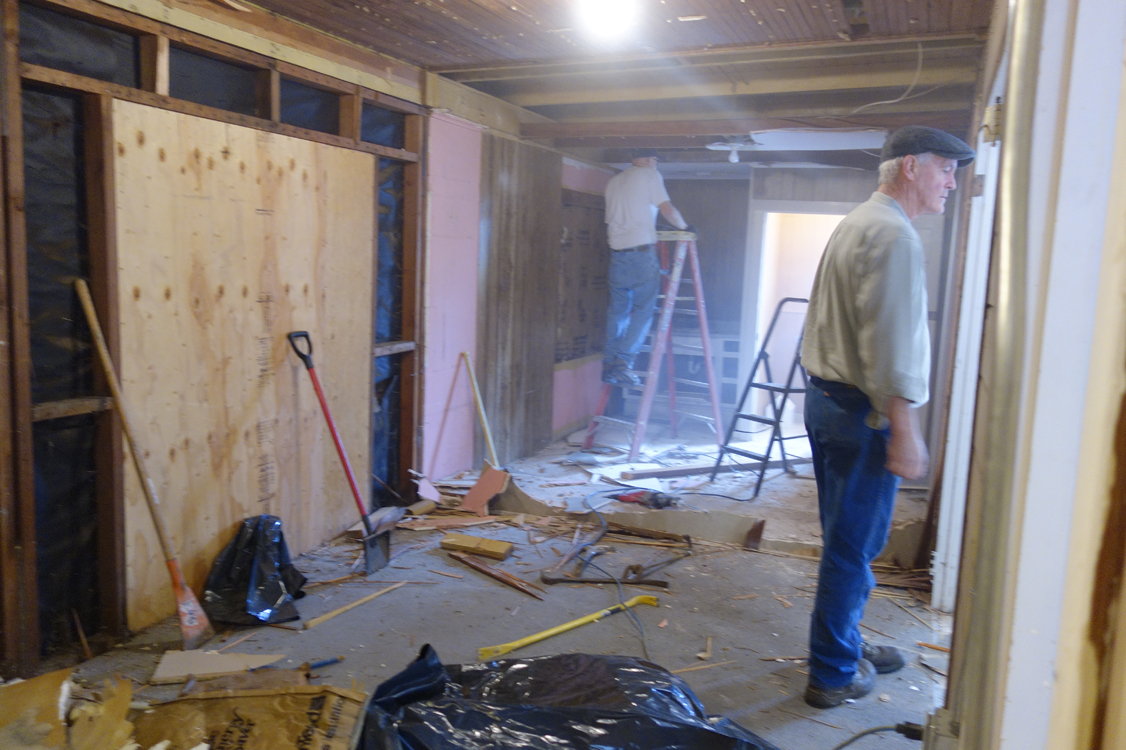
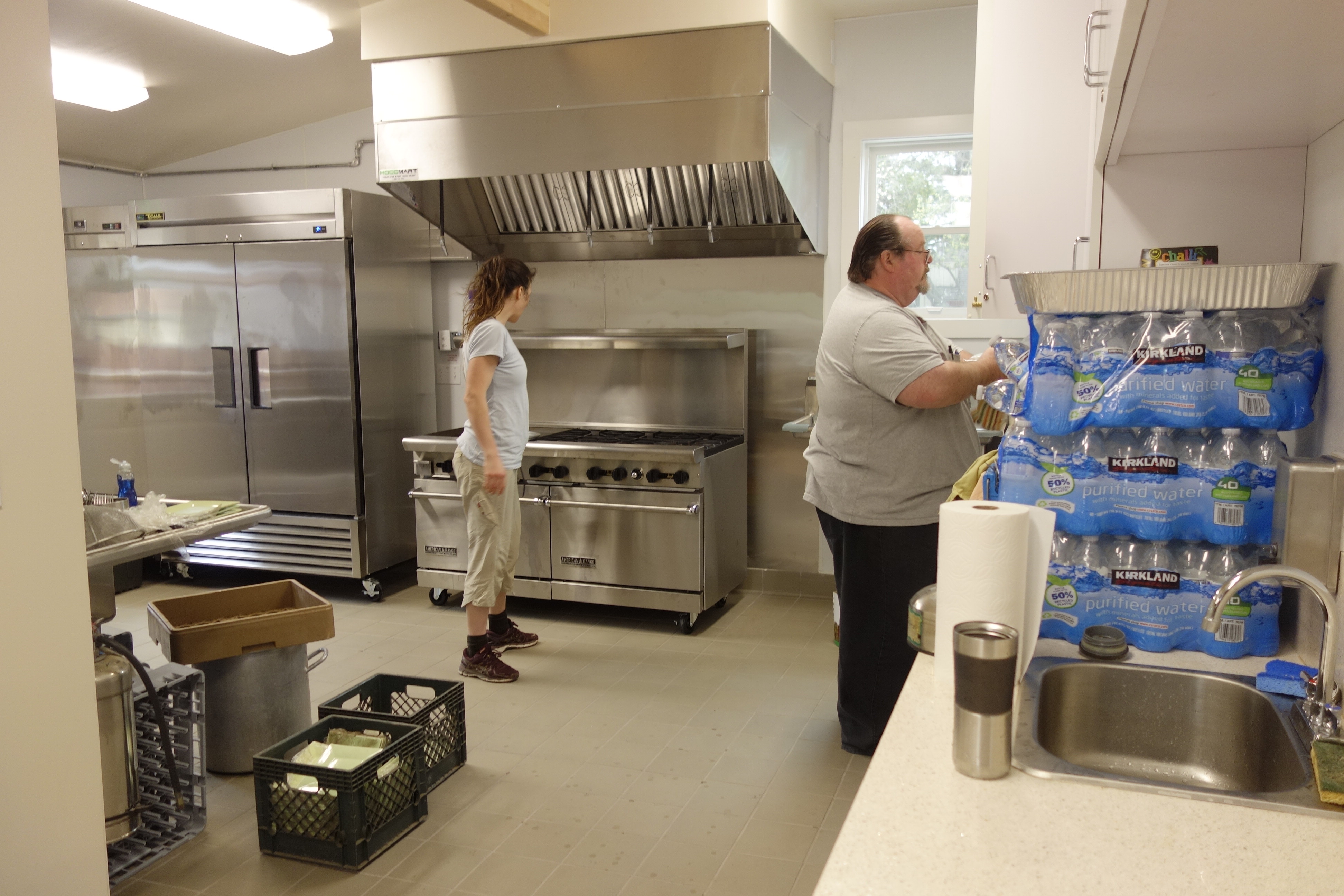
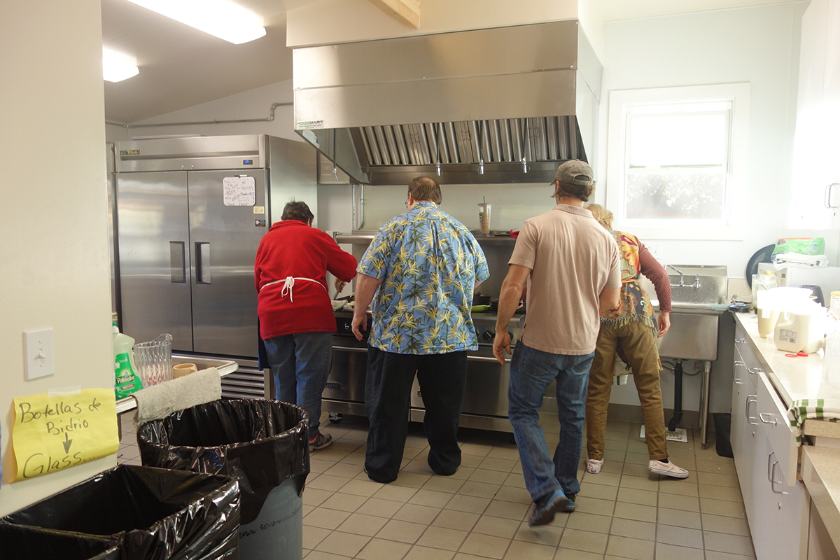
The old Hall needed a lot of work. In 2016 donations were in hand to start building new restrooms and a new, commercial kitchen.
The old kitchen, 2010. The dinner bell was made from a brake drum.Jim Callahan oversaw the project.Ray Gallian in the new kitchen.
Political and legal turmoil starting in 2012 forced some major changes and challenges, leading to the formation of a new entity, The Springs Community Hall.
After more years of legal wrangling between the State Grange and the National Grange, then the State Grange and the local, former Granges, it’s been decided that the hall will again be an official Grange. Not much has really changed. Whatever its name the hall and the volunteers who run it are committed to serving their community, as always.
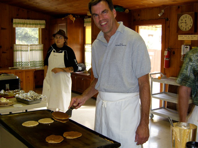
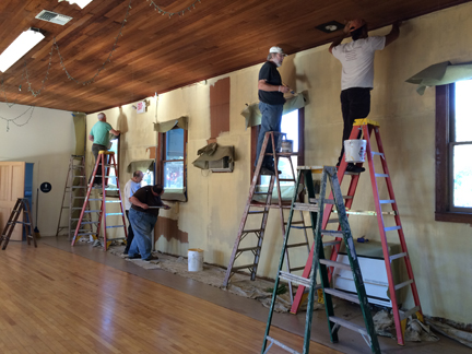
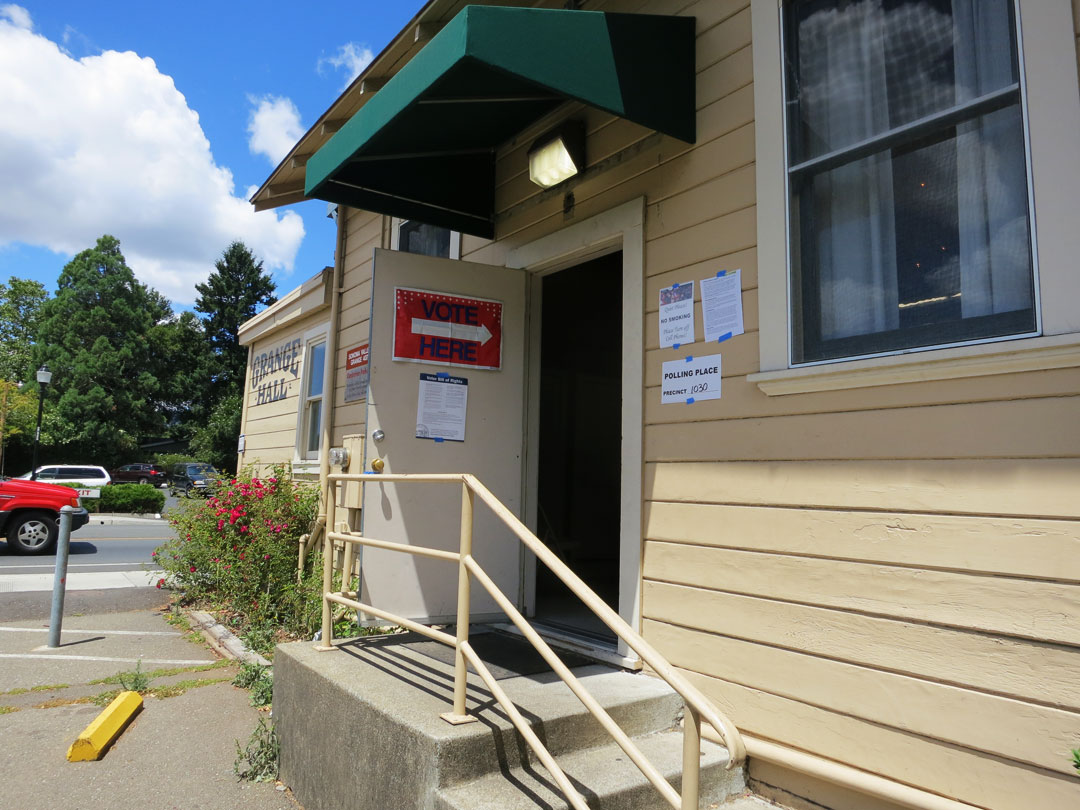
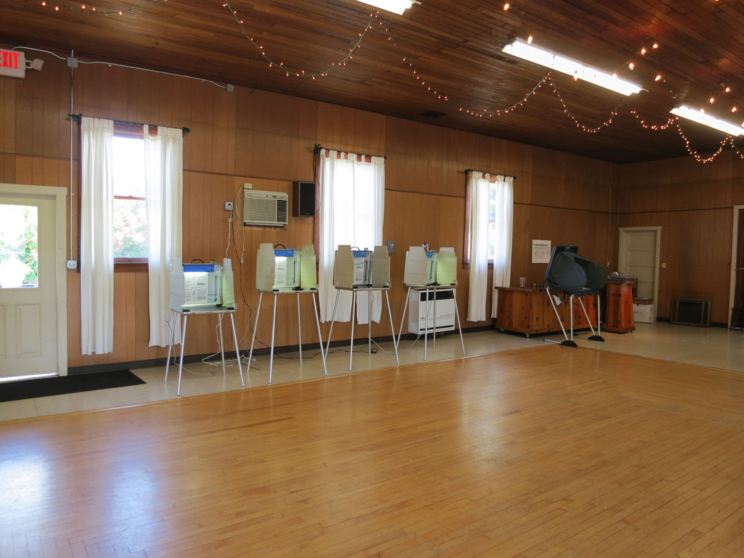
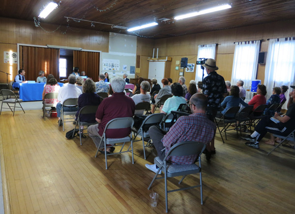
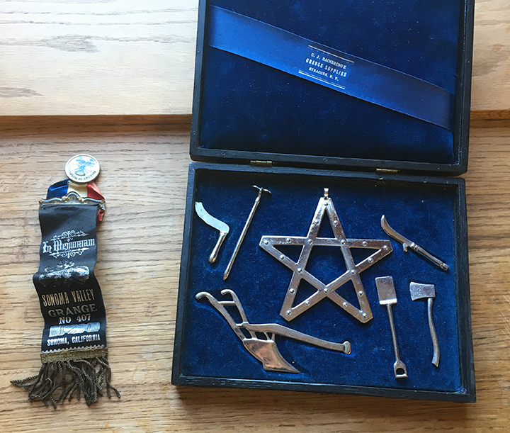
Volunteers painting.The Hall has been a polling place for years.¡Vota aqui!“The Whole Hog” benefit dinner 2014.Pancake breakfast has been a mainstay of Grange activity.Meetings, both political and cultural are common.The old and young, 2004-2010Implements of old-time Grange ritual, now of historic interest.The late Edith King, our long-time pancake breakfast cashier, and Wendy Loots, a top volunteer for many years, 2012
The newest Sonoma Valley Grange will be inviting the community to become members, volunteers, and officers, very soon. Stay tuned!
The fortunes of Boyes Hot Springs have waxed and waned. In the heyday of the resorts, it was a prosperous summer retreat. As the resorts declined, property values fell, and Boyes became “the other side of the tracks,” for a time gaining a reputation for being dangerous. The story goes that the State of California released parolees there because rents were so low, but in 1988 Sheriff Dick Michaelson told the Index Tribune “the practice ceased a couple of years ago.” When yours truly move there in 1997, the rumor was alive and well.
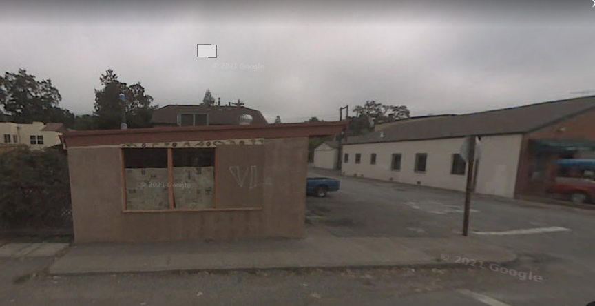
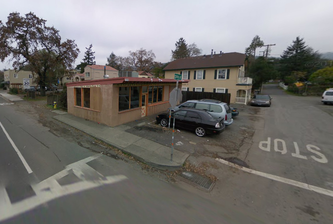
2007, Google Street View2009, Street View. The Barking Dog moved in 2004. here it sits empty.
In that year (1988) things were looking up for Boyes. Young people form San Francisco were discovering that they could afford to buy houses there. New businesses were opening, such as the Central Laundromat at the corner of Highway 12 and Central Avenue. But wane followed wax once again and the laundromat went out of business and the building stayed empty until the Barking Dog Roasters opened there in 1995. According to the Index Tribune, “ A building once held up as a bad example has received new life-and a major renovation…Barking Dog Roasters at 17999 Sonoma Highway was formerly the Central Laundromat-once pictured in this newspaper as an example of the problems along Highway 12 through Boyes Hot Springs. The new restaurant opened in mid-June, after a six-month renovation that involved new wiring, plumbing, flooring, interior plaster, and outside stucco….’It has been a real labor of love,’ Peter Hodgson (one of the owners) said.”
2008
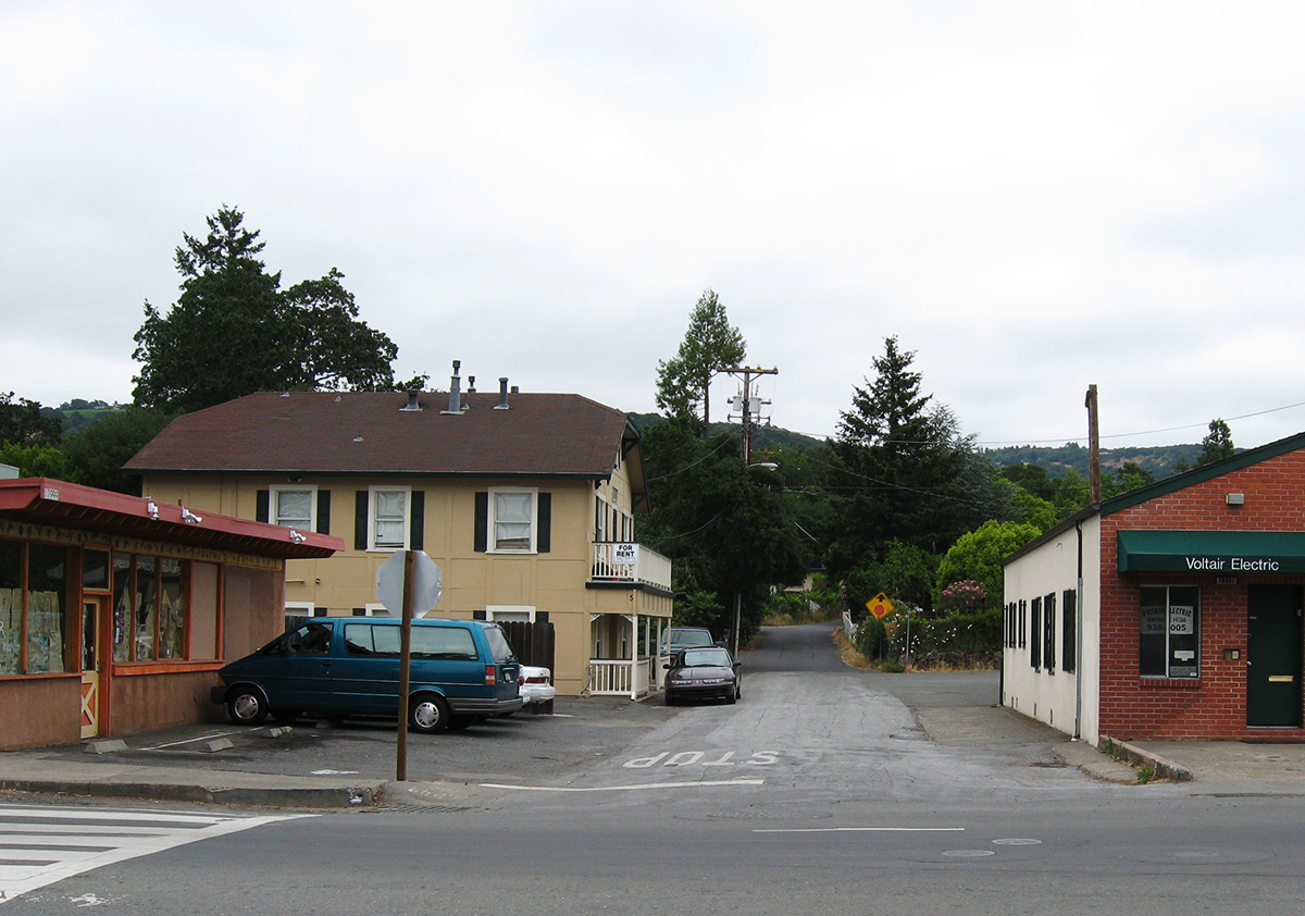
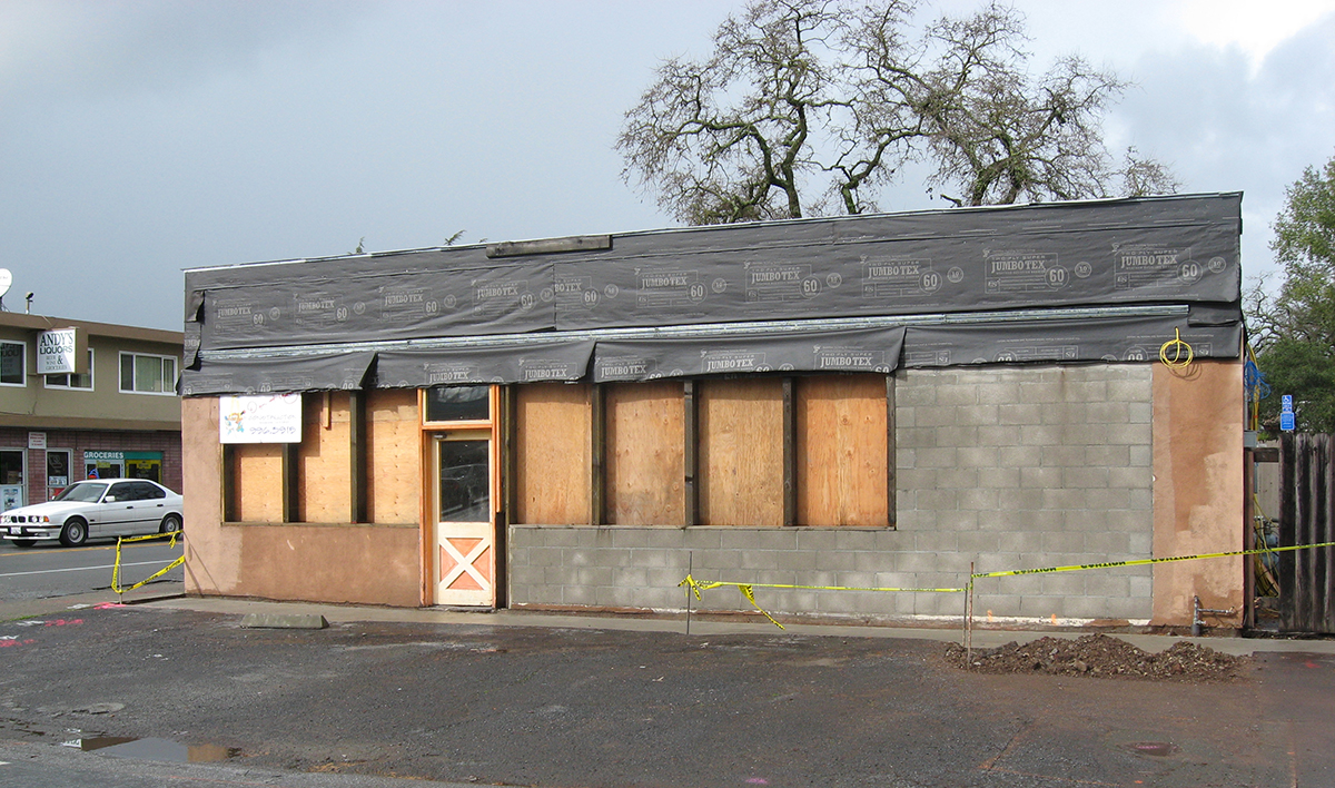
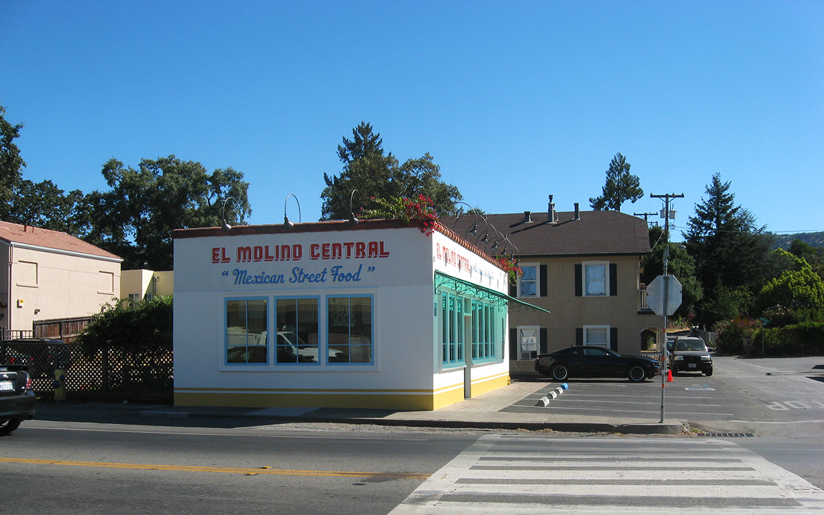
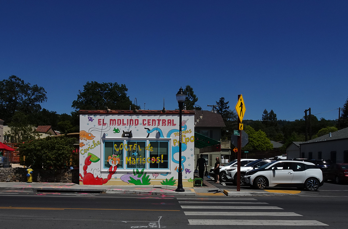
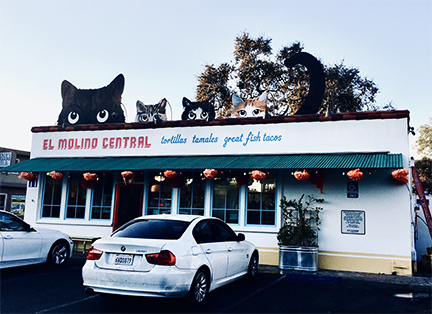
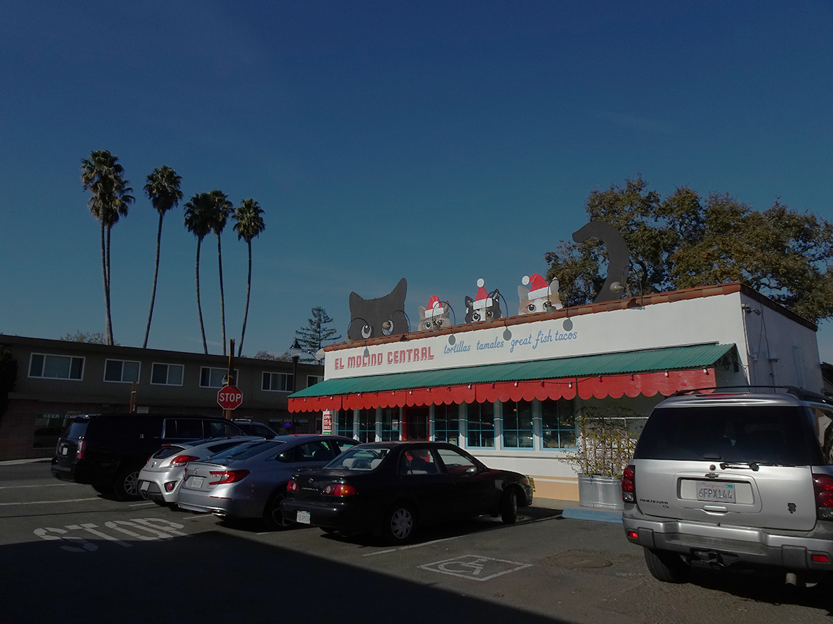
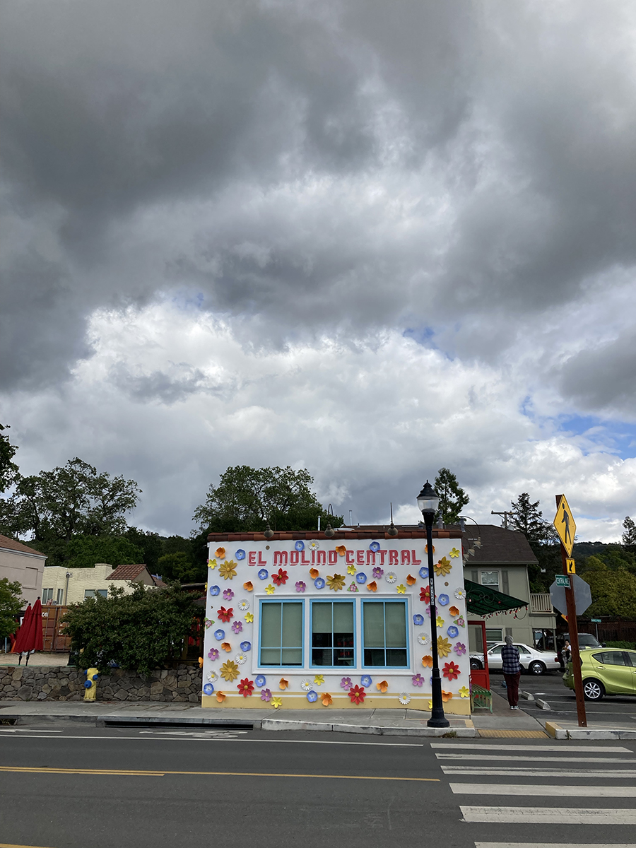
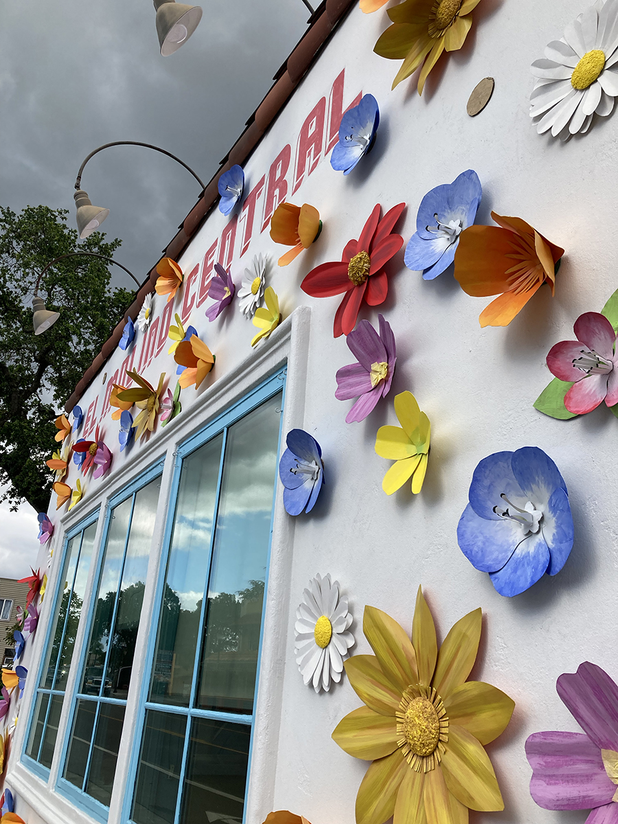
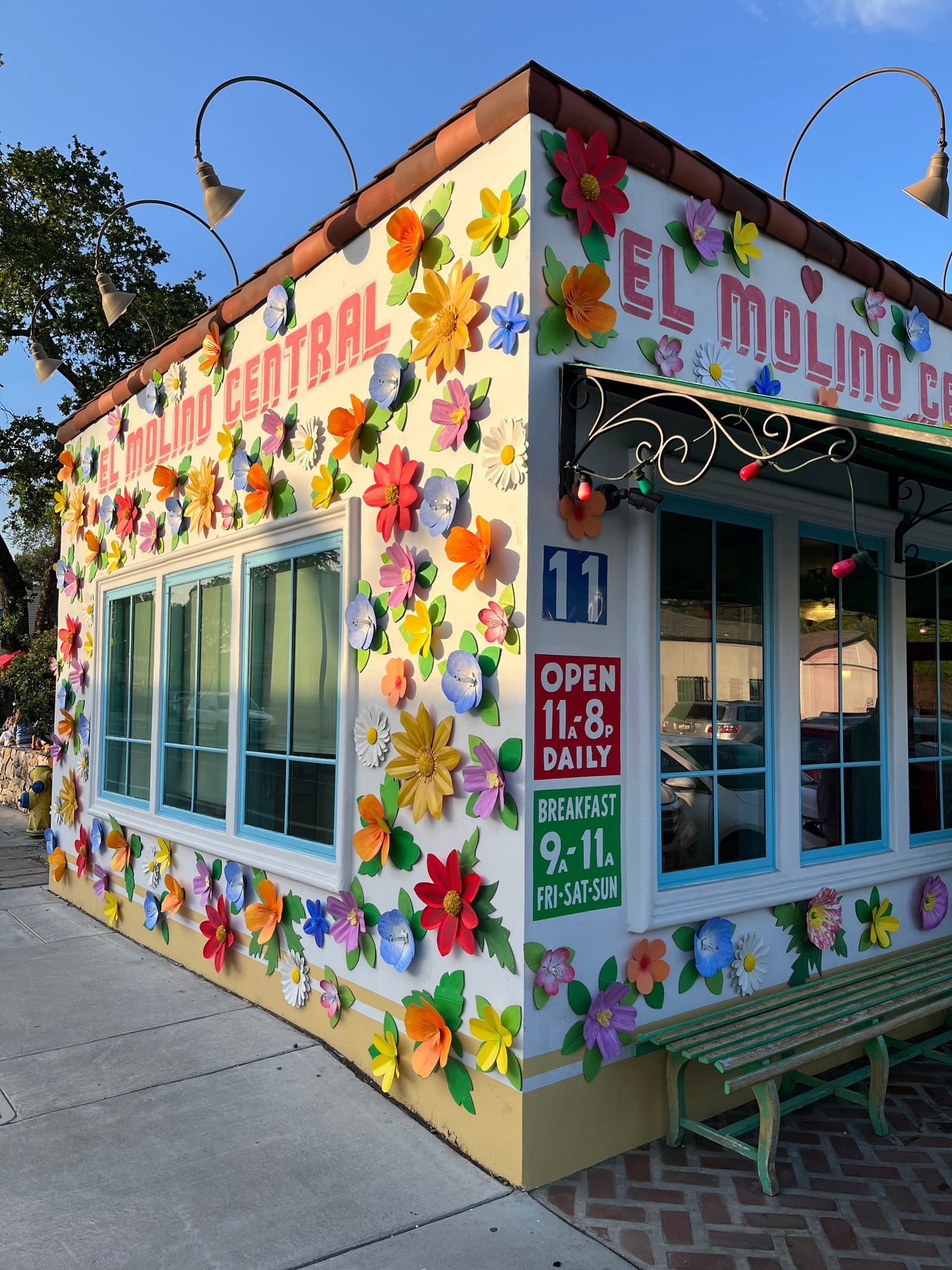
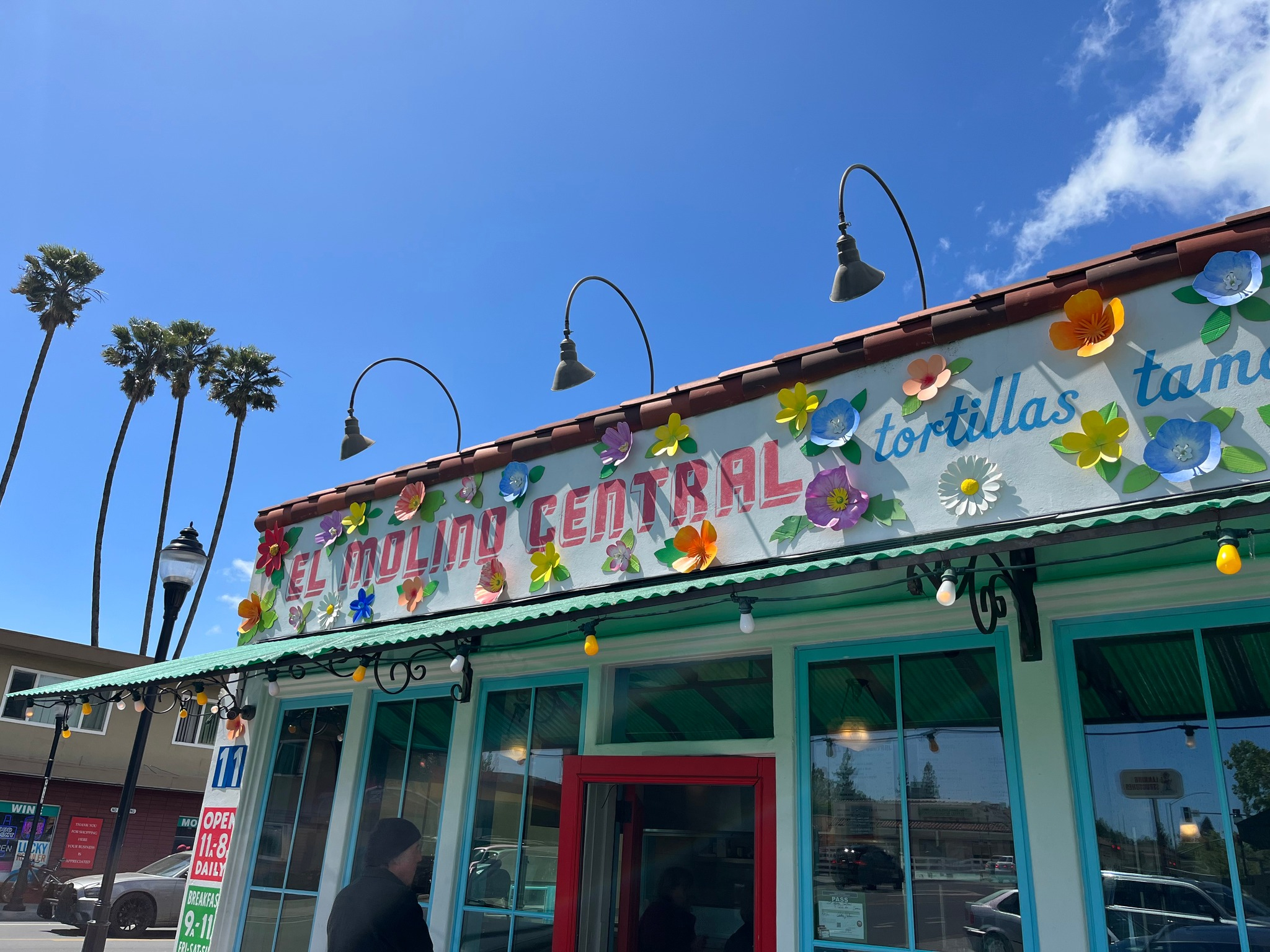
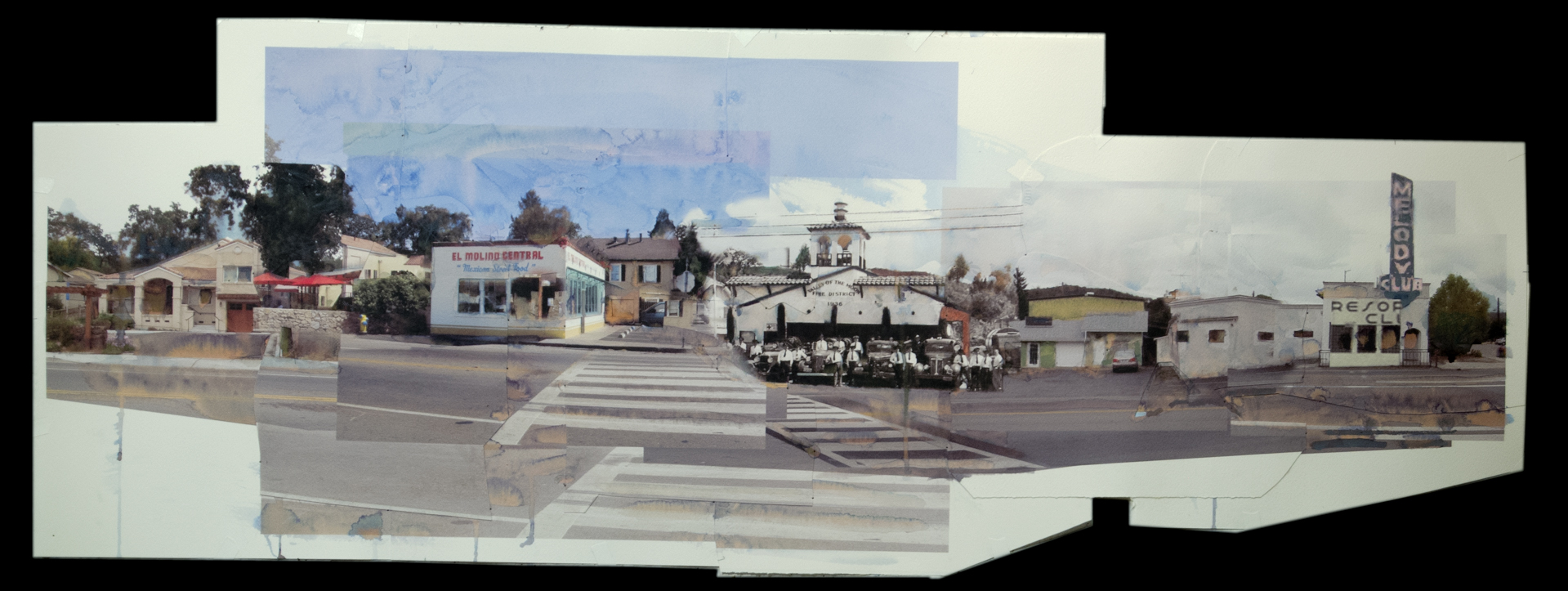
“The Dog,” as we know it, moved to its present location on the corner of Vallejo in 2004. The original building then went into another decline, sitting empty until Karen Waikiki commenced her grand transformation of the structure into El Molino Central, which opened in 2010.
Kathleen Hill wrote in that year, “When asked how she chose the name, Waikiki told us that every town in Mexico used to have a “Molino” where people took their dried corn to have it ground into masa, a very important and essential function.”
Update: El Molino under construction 20102010
El Molino has been a huge success, even being declared the best Mexican restaurant in the Bay Area at one point. It continues to be packed with hungry people from all over the Bay Area and probably the world, given the restaurant’s proximity to the Sonoma Mission Inn.
20212016202120222022UPDATE: More recent photos of the flowers, courtesy of Mark, showing the leaves.UPDATE: More recent photos of the flowers, courtesy of Mark, showing the leaves.Art by Michael Acker
As of 2024, The Barking Dog moved to Broadway in Sonoma and became Samstad Coffee Roasters.
Sonoma Index Tribune courtesy of the Sonoma Valley Historical Society
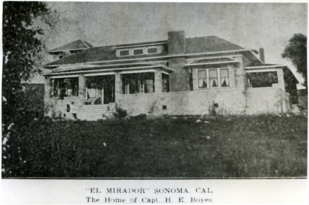
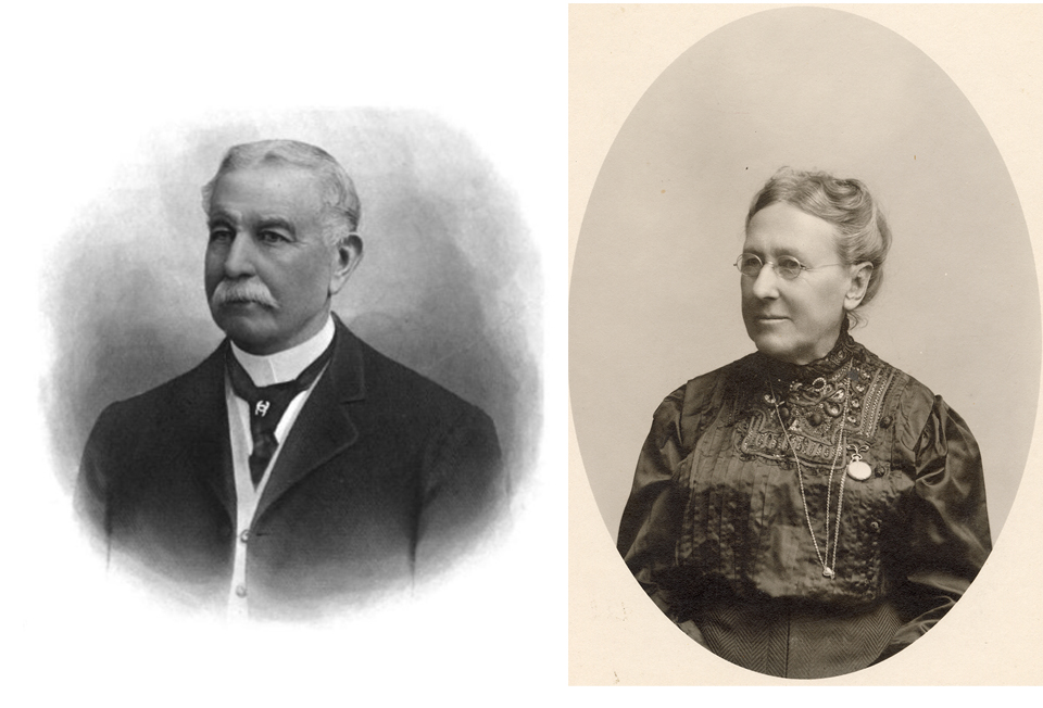
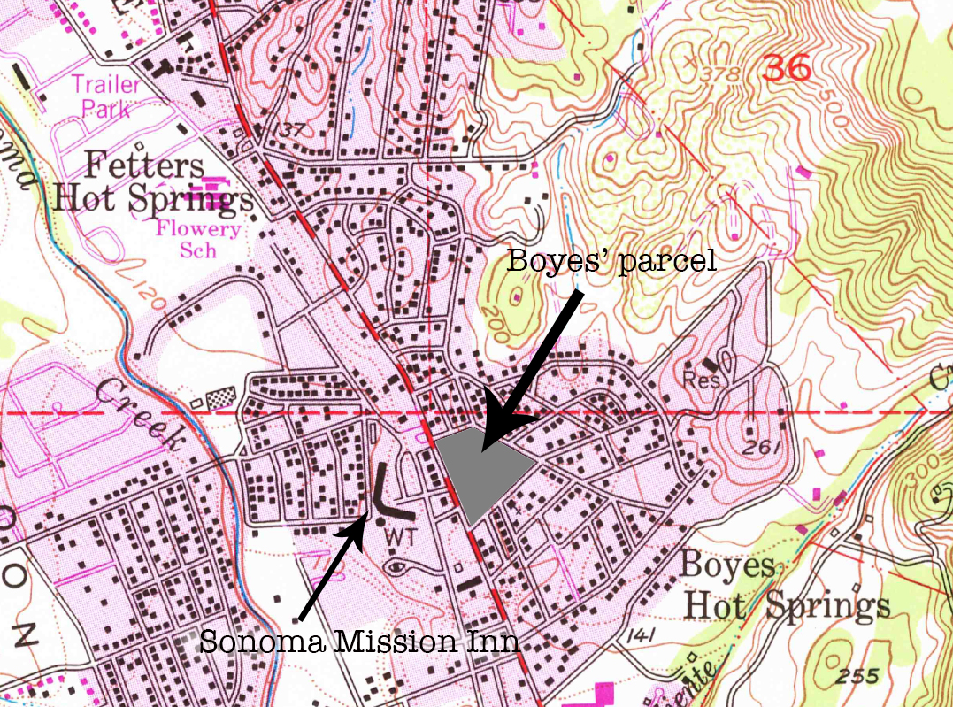
In 1882 Captain Henry E. Boyes, a retired officer of the Indian Navy, arrived in Sonoma Valley with his wife Antoinette. Looking for a genteel and healthful retreat, they were persuaded by T. L. Leavenworth to buy 110 boggy acres of his 320-acre portion of the Rancho Agua Caliente land grant. After developing the hot springs as a resort, in 1902 he sold his portion of the corporation and built a grand house overlooking the springs, which he called El Mirador.
The house was the scene of “ many hospitable social affairs” according to the Index Tribune. On the evening of September 16, 1905, “El Mirador,” the beautiful home of Captain and Mrs. Boyes, was the scene of a delightful party…The home was brilliantly illuminated and decorated in waving palm branches, asparagus ferns and flowers…About sixty ladies and gentlemen were present…regular dancing (was) interspersed with clever vaudeville numbers…The hit of the evening was Jack Kelly, who sang several ragtime numbers…About 11:30 the doors of the dining room were thrown open and the guests invited to partake of a typical English supper, which was greatly enjoyed…Dancing was then continued and before the guests departed flash-light photographs were taken of the party.”
If only we had those photos!
In July of 1912 a farewell reception was held at El Mirador for the Boyes. After 30 years in the valley, they were departing for San Diego. Speeches were made and “dances and vocal solos by Mrs. Emparan and Miss Ramona Granice…” were enjoyed. Ominously in hindsight, the new owner of the house, Mr. Carlow, gave a “fire-extinguishing demonstration on the hillside.”
The house, along with many other buildings in Boyes Springs, burned in 1917. Antoinette Boyes died in San Diego, year unknown. Captain Boyes died in San Francisco in 1919.
The Mirador property was bounded by the present day streets Central Avenue, Vallejo Avenue, and Calle del Monte
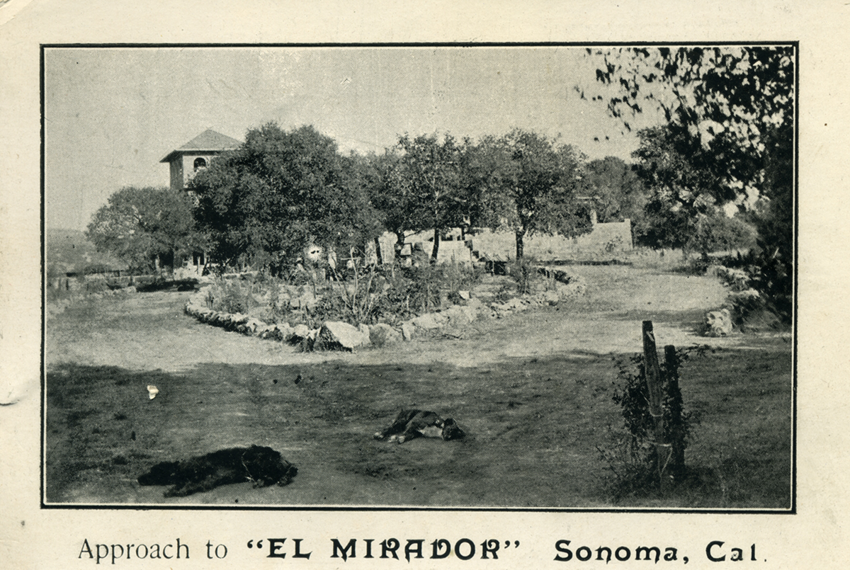
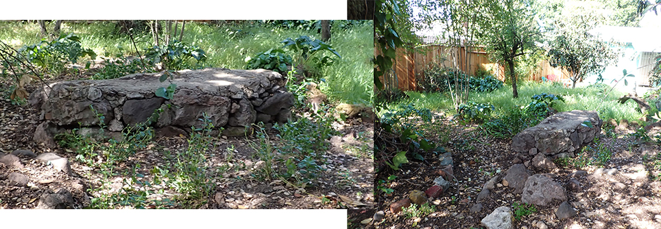
In following years, the property was divided into several lots. Today Madera St. runs through it. Was this street the “approach” to El Mirador? Is the structure below the last visible remnant of the house?
Photo by author, 2022.
Index Tribune and photographs courtesy of the Sonoma Valley Historical Society.
UPDATE:
These images are from the Robert Parmelee collection, courtesy of the Sonoma Valley Historical Society.
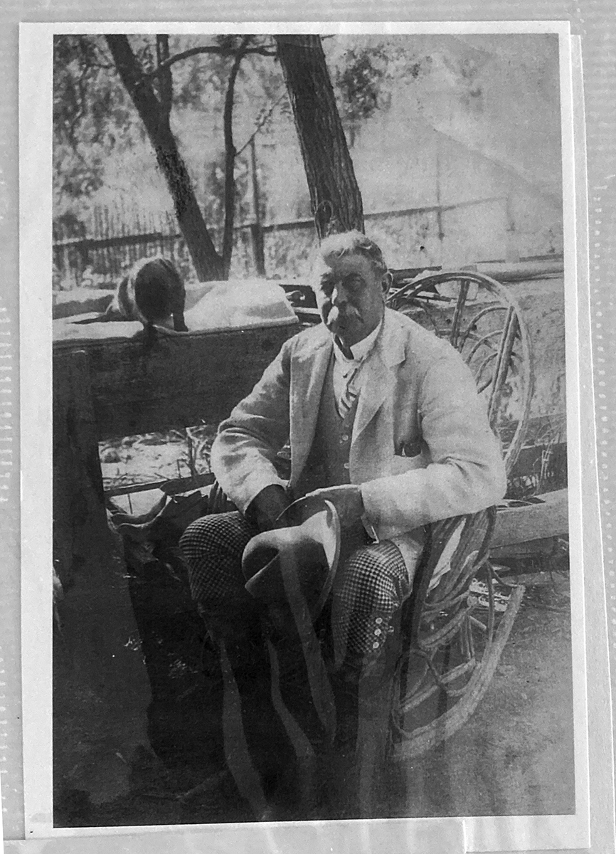
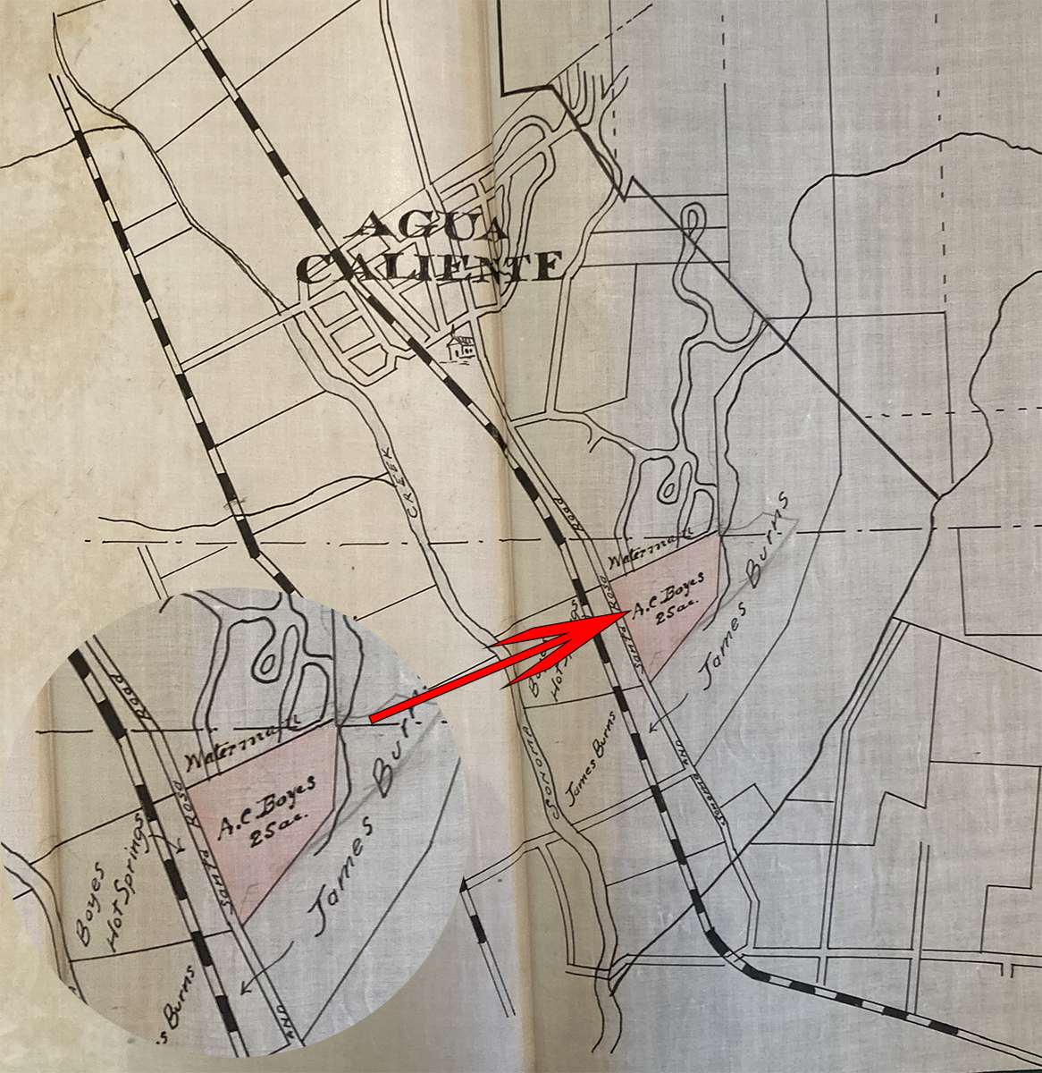
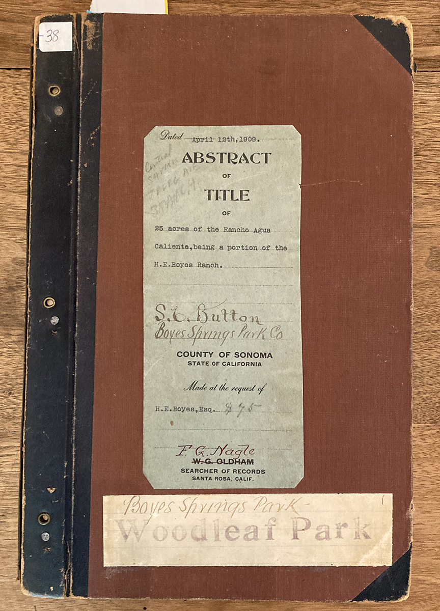
Capt. Boyes, at Mirador, perhaps, with a pet. A cat perhaps?Map from an abstract of title, which was a legal document tracing ownership of land that was used before title searches were possible. It seems to show Boyes’ parcel where El Mirador was located, stating that it was 25 acres. the abstract is dated 1909. Notice that in that year, Agua Caliente was considered a town, Boyes Hot Springs just a resort encompassing a small(ish) piece of land.Cover of the somewhat lengthy abstract.
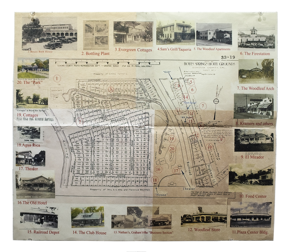
Walking Tour Map. The tour is centered on the “Hotel Grounds” subdivision, which contains the site of the original resort and the present Sonoma Mission Inn.
Some day we will organize actual tour groups to take this walk. In the mean time, there is the map and a book of the tour. Please see https://mca-studios.com/recent-work/ for each page of the book and a short video. (Click on the page images to magnify.)